Forecast for the Moab Area Mountains

Dave Garcia
Issued by Dave Garcia for
Wednesday, April 5, 2023
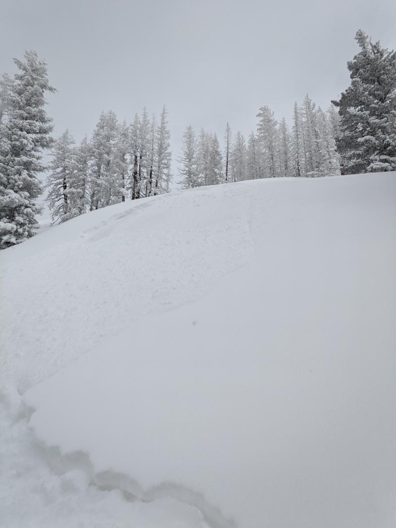
The avalanche danger today is MODERATE. Backcountry travelers should expect to encounter fresh, unstable slabs of wind drifted snow near treeline and above on slopes that face NW-N-NE-E-SE. Travel in alpine terrain requires the ability to recognize and avoid recent deposits of wind drifted snow.
Dry-loose avalanches, or sluffs, are possible in steep terrain on any aspect today. These fast moving sluffs are capable of entraining a lot of snow and can get quickly out of hand in consequential terrain.
Low
Moderate
Considerable
High
Extreme
Learn how to read the forecast here
Special Announcements
Geyser Pass Road: The road is open. Expect fresh drifting. AWD and good tires recommended.
Grooming: Trails have not been groomed since Saturday.
Weather and Snow
6:00 a.m. Snow and Weather Data
24 Hour Snow 9" 72 Hour Snow 13" Season Total Snow 314" Base Depth at Gold Basin 112"
Temp 1° F Winds on Pre-Laurel Peak: NA

Weather
A cold Northwest flow will keep temperatures well below seasonal norms today. High temperatures at 10,000 ft should reach 12 degrees, with winds blowing 10-15 mph out of the West. Look for mostly cloudy skies today and lingering snow showers, with little to no accumulation. Thursday starts a warming trend, with sunny skies and highs in the mid 20's. The warm-up continues through the weekend and high temperatures could reach the low 40's by Sunday.
General Conditions
Skiing and riding conditions are excellent as Tuesday's sleeper storm dropped 9" inches of fluff, and a few more inches stacked up last night, bringing storm totals to around 13" of cold smoke. The new snow is ultra-blower, and you can certainly feel the bottom on Southerly slopes. Polar aspects will offer a smoother ride today. Monday's epic wind event left hard, slick crusts on most slopes, and the new snow is not well bonded to these firm surfaces. Backcountry riders should be aware that sluffs are running long and fast right now. Westerly winds have had an easy time blowing and drifting the new, low density snow. Fresh, sensitive drifts have formed near treeline and above on Northerly aspects.
Chris Lile was out in Corkscrew Glades yesterday. His party reported significant sluffing, and avalanches involving wind drfted snow.
Pre-Laurel winds are down right now, but nearby Carpenter Ridge at 8,000 ft is showing light Westerlies this morning. 12,000 ft. wind stations at Telluride this morning are showing West winds blowing 5-10 mph.

Snowpack and Weather Data
Gold Basin Storm Stake (10,000')
Gold Basin SNOTEL site (10,000')
SNOTEL site near Geyser Pass Winter Trailhead (9600')
Wind Station on Pre-Laurel Peak (11,400')
NWS forecast for the La Sal Mountains.
Recent Avalanches
Chris Lile's party triggered this avalanche in wind-drifted snow on a small test slope. Test slopes like this are a great way to gauge how larger terrain with a similar aspect will behave.
See the La Sal avalanche database here.
Ad
Avalanche Problem #1
Wind Drifted Snow
Type
Location
Likelihood
Size
Description
The winds have certainly backed off from Monday's event, but on Tuesday, Westerlies were blowing hard enough to easily transport the new, low density snow. Look for fresh, unstable slabs of wind drifted snow on leeward slopes near treeline and above. Recent deposits of wind drifted snow will be most pronounced on above treeline slopes with a North or Easterly component to their aspect. If you are poking up into alpine terrain, you will need to be able to identify and avoid recently wind loaded slopes. Wind drifts will have a smooth, rounded, and fat appearance.
Avalanche Problem #2
New Snow
Type
Location
Likelihood
Size
Description
The most recent storm under-forecasted and over-delivered, just how we like it! Monday's epic wind event left behind hard, slick crusts on most slopes, even on some Northerly aspects. The new snow is poorly bonded to the old surface. The recent snow is cold, dry, and unconsolidated, and sluffs are running fast and far in steep terrain. These sluffs are entraining enough snow to easily knock a rider off their feet, into trees, or over cliffs. If you are getting into steep terrain today, good sluff management is necessary.
This video shows sluffing in steep terrain, and the resulting debris pile. This is easily enough snow to push you around.
General Announcements
This forecast is from the U.S.D.A. Forest Service, which is solely responsible for its content. This forecast describes general avalanche conditions and local variations always occur. This forecast will be updated by 7:30 tomorrow morning.