Forecast for the Logan Area Mountains

Toby Weed
Issued by Toby Weed for
Saturday, March 2, 2024
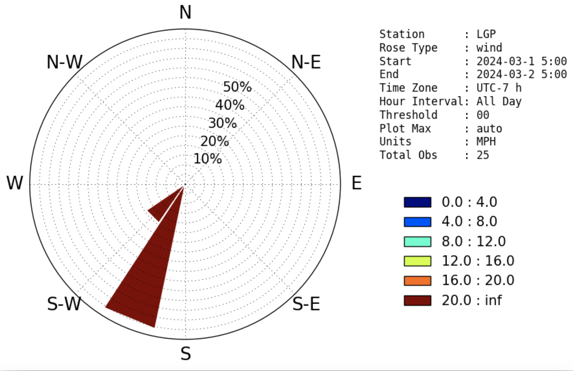
Heavy snowfall and strong winds blowing from the south-southwest will elevate today's avalanche danger significantly. Heightened avalanche conditions exist this morning, and the danger will rise to CONSIDERABLE, and possibly HIGH, especially in drifted terrain during the day. Natural avalanches of wind-drifted snow and storm snow are possible, and large cornice falls are likely. People venturing into avalanche terrain are likely to trigger avalanches on slopes steeper than 30°.

  • Careful snowpack evaluation, cautious route-finding, and conservative decision-making are essential for safe backcountry travel.
  • Avoid and stay out from under steep drifted slopes, overhanging cornices, and avalanche runouts.
Low
Moderate
Considerable
High
Extreme
Learn how to read the forecast here
Special Announcements
We are seeking a passionate individual to join us as Executive Director of the nonprofit Utah Avalanche Center. Click here for more information.
Weather and Snow
Winds blowing from the south picked up considerably overnight. Strong winds will continue today, and periods of heavy snowfall will supply fresh ammo. The incessant winds will build out existing cornices along the ridgetops and create new stiff wind slabs. Large natural cornice falls are likely, and these could trigger wind slab avalanches on slopes below. Overhanging cornices can be quite devious and, if you get out on them, could fail much further back from the edge than expected. Predicted very heavy snowfall will elevate the danger of soft slab and loose avalanches of new snow, even in sheltered terrain and at lower elevations.
Beaver Mountain's webcams are showing moderate snowfall this morning, and it looks like an inch or two of new snow. The Tony Grove Snotel at 8400' reports 32° F and 103 inches of total snow containing around 121% of normal SWE (snow water equivalent). I'm reading 28°F and 78 inches of total snow at our new Card Canyon weather station at 8750', a bit north of Logan Peak.
Winds blowing from the south increased significantly overnight at the CSI Logan Peak weather station at 9700' in elevation. They are blowing 50 mph at 6:00, with a gust of 84 mph recorded early this morning. At our other new weather station at 9500' on Paris Peak, winds are much lighter, blowing from the south-southwest at 11 mph with gusts in the mid-30s, and it's 21° F.

March is coming in like a Lion this year. The National Weather Service has continued a Winter Storm Warning for the Logan Zone through 11;00 tonight.
Today will be quite stormy, with very heavy snowfall and blowing snow. Winds howling from the southwest 36 to 41 mph, and gusts around 65 mph are expected, with mountain high temperatures around 32° F falling into the upper teens during the day. Some thunder is also possible. 12 to 18 inches of accumulation is possible on upper-elevation slopes, while 6 to 10 inches is possible at lower elevations in Logan Canyon.
Snowfall is expected to diminish a bit tonight, with decreasing winds and 3 to 5 inches of additional accumulation up high possible by tomorrow morning.
On Sunday; the storm will continue, and 4 to 8 inches of accumulation is possible on upper-elevation slopes. Colder temperatures are expected, with a high of 19° F at 8500', which should keep the fresh powder nice and soft.
Next week's weather looks active, with a chance of snow in the forecast every day.
Recent Avalanches
  • Wednesday, a snowbike rider triggered a soft wind slab in the Tony Grove Lake Area but was not carried. The location is not clear but it was on a north-facing slope at around 9000', reported as being 20" deep and 35' wide. (see report)
  • An observer noticed a recent wind slab avalanche in Logan Dry Canyon from Monday or Tuesday, 1 to 3' deep x ~200' wide, running ~1000' and crossing uptracks from the weekend. (see report)
  • Also, on Wednesday, another observer reported a cornice fall/wind slab avalanche on Cornice Ridge that occurred earlier in the week. (report)

Check out all local observations and avalanches HERE.
Ad
Avalanche Problem #1
Wind Drifted Snow
Type
Location
Likelihood
Size
Description
Natural and human-triggered avalanches of wind-drifted snow are likely in drifted terrain. Very strong winds from the south and southwest in the last couple days and last night loaded snow onto leeward terrain and built out already large cornices.
  • Watch for and avoid stiffer wind drifts on the lee side of major ridges, on corniced slopes, and in and around terrain features like cliff bands, sub-ridges, gully walls, and mid-slope rollovers.
  • Stiff wind slabs could be stubborn, allowing a person to get well out on them before releasing. Other softer wind slabs forming today will be much more sensitive.
Avalanche Problem #2
Cornice
Type
Location
Likelihood
Size
Description
Natural cornice falls are likely today, and some could trigger wind slab avalanches on slopes below.
  • Stay well away from and out from under overhanging cornices, which may break further back and be much larger than expected.

Avalanche Problem #3
New Snow
Type
Location
Likelihood
Size
Description
Heavy snowfall is expected today, and soft slab and loose avalanches of storm snow may become likely on slopes that receive significant accumulations, (a foot or more).
  • Natural avalanches of storm snow are most likely during periods of very heavy snowfall or extreme drifting.
Additional Information
Winds blowing from the south and south-southwest picked up steam again overnight at the CSI Logan Peak weather station and could be considered extreme this morning.
General Announcements
-Listen to your very own Logan Zone avalanche forecasters on the UAC Podcast HERE.
-Read my recent blog about wind, drifting, and avalanches HERE.
-Sign up for forecast region-specific text message alerts. You will receive messages about changing avalanche conditions, watches, and warnings...HERE.
-For all questions on forecasts, education, Know Before You Go, events, online purchases, or fundraising, call 801-365-5522.
-To report an avalanche or submit an observation from the backcountry, go HERE.
-Come practice companion rescue at the Franklin Basin TH Beacon Training Park. It's free and open to everyone. For easy user instructions, go HERE.
-We will update this forecast by 7:30 AM tomorrow.
This forecast is from the U.S.D.A. Forest Service, which is solely responsible for its content. This forecast describes general avalanche conditions, and local variations always occur.