Forecast for the Logan Area Mountains

Issued by Toby Weed on
Friday morning, March 1, 2024
Friday morning, March 1, 2024
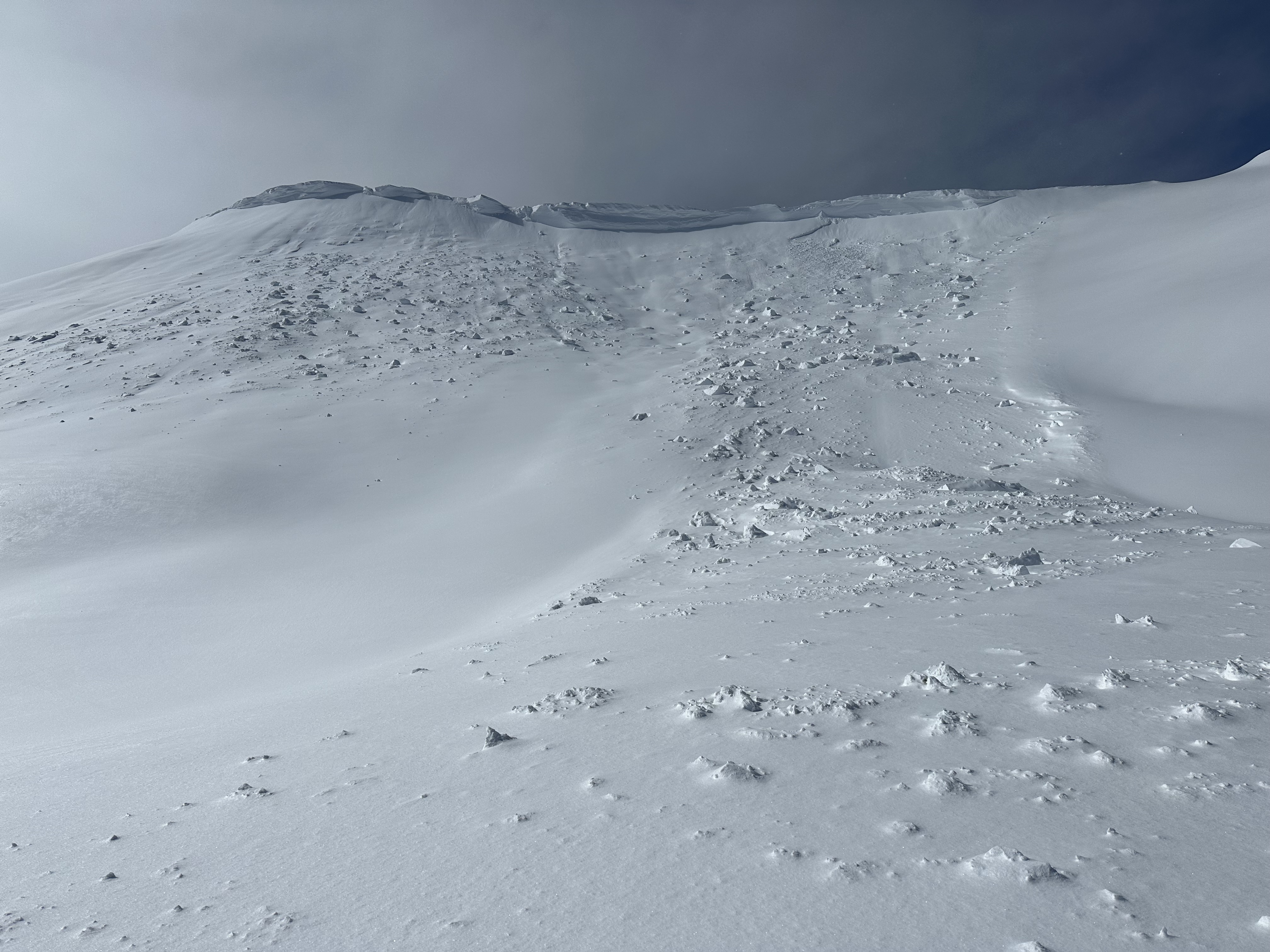
Heavy snowfall and strong winds blowing from the south-southwest will elevate the avalanche danger today. Heightened avalanche conditions exist this morning and the danger is likely to rise to CONSIDERABLE in drifted upper and mid-elevation terrain this afternoon. Natural avalanches of wind-drifted snow are possible, and large cornice falls are likely. People venturing into drifted terrain this afternoon will probably trigger avalanches of wind-drifted storm snow up to 2 feet thick on slopes steeper than 30°.
The best and safest powder riding conditions will be found in sheltered terrain and on lower-angled slopes with no overhead hazard.
Careful snowpack evaluation, cautious route-finding, and conservative decision-making are essential for safe backcountry travel. Avoid and stay out from under steep drifted slopes and overhanging cornices.

Low
Moderate
Considerable
High
Extreme
Learn how to read the forecast here