Forecast for the Logan Area Mountains

Toby Weed
Issued by Toby Weed for
Friday, February 1, 2019
LOW: You can find really nice, smooth and fast snow conditions in the backcountry. The snow is stable on most slopes and avalanches are unlikely. Even so, a slight chance remains that a person could trigger a dangerous deep slab avalanche failing on a persistent weak layer on an isolated very steep slope. With widespread weak surface snow in the Logan Zone, the avalanche danger will rise rapidly with a warm, wet, and windy storm this weekend, beginning tomorrow.
Use normal caution and practice safe backcountry travel protocols.
Low
Moderate
Considerable
High
Extreme
Learn how to read the forecast here
Weather and Snow
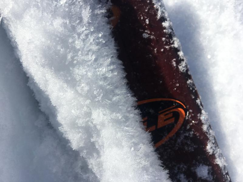
Despite wind damage up high and crusts on sunny slopes and down low, we've found very nice smooth, fast, and stable snow in the backcountry in the past couple days. A Low danger does not mean No danger, and you could still trigger avalanches, so you need to continue to follow safe backcountry travel protocols. Avoid wind drifted snow at upper elevations, large cornices that have formed in the last month on some of the major ridges, and steep sunny slopes in the middle of the day.

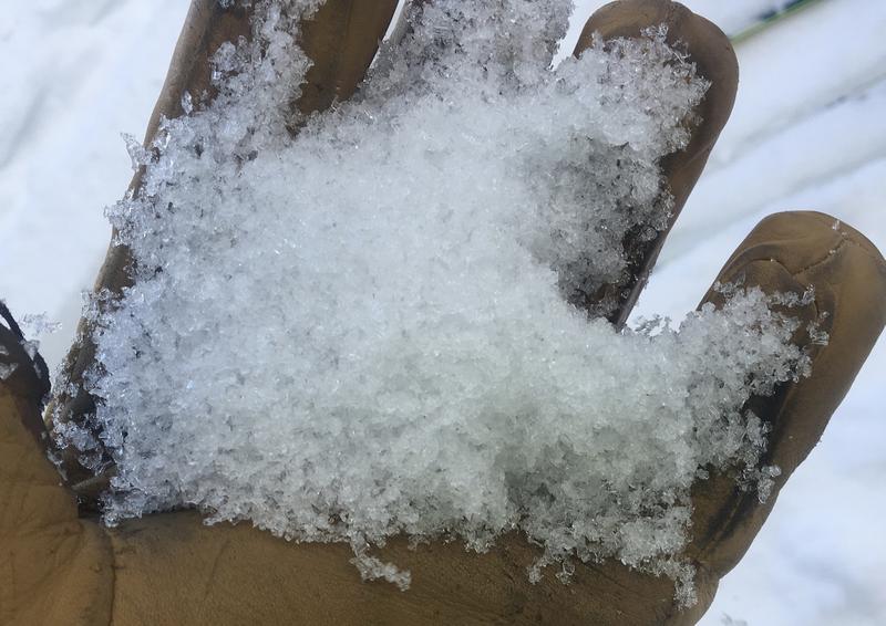
The Tony Grove Snotel at 8400' reports 26º F this morning and there's 55" of total snow containing 85% of average SWE for the date. It's 24º F, at the 9700' CSI Logan Peak weather station, and south-southwest winds are currently averaging around 23 mph.
High pressure will remain across the Great Basin through today. A series of storm systems will impact the area beginning late tonight and continuing into the middle of next week. Today it'll be sunny in the mountains, high temperatures at 8500' around 34º F, and 15 to 20 mph south wind. Tonight, we'll see increasing clouds and intensifying south wind. Low temperatures of around 22º F rising to around 30º F, and 20 to 30 mph south wind, with gusts in the 40s. Snow will start to fly tomorrow morning, with 4 to 8 inches possible. High temperatures around 35º F expected, with rain below about 7500', and it'll be windy, with 30 mph south-southwest winds gusting near 50 mph.
Recent Avalanches
Other than the natural cornice fall avalanche off the Magog Cornice last weekend, no avalanches were reported recently in the Logan Zone.

There were numerous close calls and lucky outcomes across Utah in January, including several in the Logan Zone. Sadly, we have two recent fatalities to report, both from the Manti La Sal National Forest.
-A snowmobile rider was killed Friday, 1/25/18, in the La Sal Mountains near Moab.... updated accident report HERE
-A backcountry skier was buried by an avalanche and killed near Fairview on 1/18/19. .. report is HERE.
Ad
Avalanche Problem #1
Normal Caution
Type
Location
Likelihood
Size
Description
  • You might trigger slabs made up of wind drifted snow on very steep slopes in exposed upper and mid elevation terrain.
  • Overhanging cornices have grown large on some of the major ridges. These can break further back than expected. Stay off and out from under cornices during midday warmth and if there is any drifting going on.
  • Loose wet avalanches are possible in the middle of the day on steep sunny slopes with melt-softened saturated snow.
Avalanche Problem #2
Persistent Weak Layer
Type
Location
Likelihood
Size
Description
Dangerous hard slab avalanches failing on a persistent weak layer are unlikely yet possible for people to trigger on very steep drifted rocky slopes with shallow cover and poor snow structure. There is low probability that you could trigger a dangerous, high consequence, 3-feet-deep hard slab avalanche failing on a buried persistent weak layer.
Frost or feathery surface hoar and small-grained near surface facets plague the snow surface on many slopes currently, and will likely become persistent weak layers after buried by the next storm.
Weak surface snow plagues the Logan Zone currently, and we are set up for an active period as a warm, wet, and windy storm bares down on us this weekend.
Chains of well developed, loose faceted snow. Weak sugary snow like this is widespread in the Logan Zone in places where the snow is less than about a meter deep.
Additional Information
I will update this forecast tomorrow morning.
The new weather station at the WSU Bloomington Canyon Yurt is up and running. Data available HERE
Now is a great time to practice companion rescue techniques with your backcountry partners. You should check out and use the new Avalanche Beacon Training Park we set up at the Franklin Basin trailhead. Special thanks to Northstars Ultimate Outdoors and USU Outdoor Program for helping us to make this possible.
General Announcements
The Beaver Mountain Backside is the backcountry, and it is avalanche terrain. If you cross the ski area boundary, you and your partners should carry and practice with avalanche rescue equipment.
Check out the improved weather links, road conditions, and weather links for each forecast region on the new UAC IOS App. Do you use the NOAA point forecast? If so, now you can bookmark your favorite weather locations in "My Weather" in the App. HERE
Are you new to the backcountry or looking to refresh your skills? The UAC has released a free 5-part avalanche skills eLearning series. HERE
If you would like to get the daily advisory by email you subscribe HERE.
Support the UAC through your daily shopping. When you shop at Smith's, or online at REI, Backcountry.com, Patagonia, NRS, Amazon, eBay by clicking on these links, they donate a portion of your purchase to the UAC. If you sell on eBay, you can have your See our Affiliate Page for more details on how you can support the UAC when you shop
Remember your information can save lives. If you see anything we should know about, please help us out by submitting snow and avalanche observations. HERE You can call us at 801-524-5304, email by clicking HERE, or include #utavy in your Instagram.
This forecast is from the U.S.D.A. Forest Service, which is solely responsible for its content. The forecast describes general avalanche conditions and local variations always occur.