It is Avalanche Awareness Week! Events are happening daily across the state to prepare you for winter and get you thinking about avalanche safety. Find out about all our events
HERE. And don't forget the
Utah Snow and Avalanche Workshop is Saturday, December 6, with in-person and virtual options!
Our 22nd annual Pray 4 Snow fundraiser-party was a huge success thanks to you....
- The USU Outdoor Programs will hold a free KNOW BEFORE YOU GO avalanche awareness presentation TONIGHT, Wednesday, December 3, at the Aggie Rec Center, 7:00 PM.
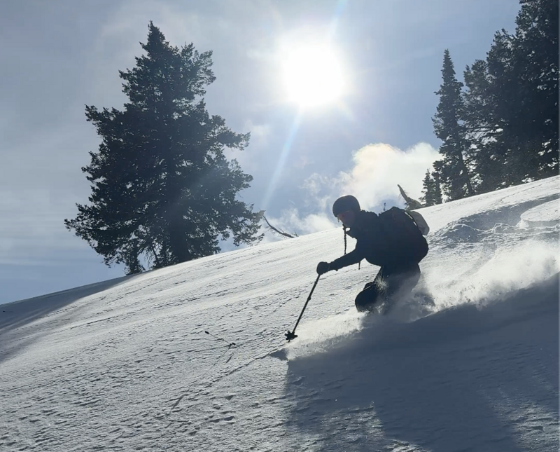
The Tony Grove Snotel at 8400' reports 3 inches of new snow yesterday and overnight, and 5 inches accumulated at the site on Sunday. We found decent, shallow powder and hazardous, shallow conditions on Monday. Surface hoar had already formed on the rapidly weakening fresh snow surface. The recent snow caps shallow, sugary, and very weak faceted snow, especially on northerly-facing slopes, where a solid layer of refrozen October snow covers the ground. A westerly wind picked up yesterday and drifted snow in upper elevations, but the wind decreased significantly last night, veering from the north. This morning, much lighter winds blow from the north, 10 to 15 mph on Logan Peak and 5 to 10 from the northeast on Paris Peak. Yesterday's wind was plenty strong enough to drift the fresh powder onto steep slopes with weak snow.
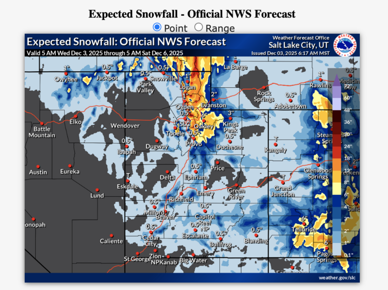
*This from this morning's NWS forecast discussion: "Our ongoing cold storm is expected to wrap up through the remainder of the day. The pattern remains active through the remainder of the week as an atmospheric river brings valley rain/snow and considerable northern mountain snow Friday into the weekend."
In the Logan Zone: At upper elevations today, there's a chance of snow, but it'll be mostly sunny, with a high near 23° F. The wind will be from the east, 7 to 10 mph. Tonight will be mostly clear, with a low around 10° F. Winds will blow from the north-northwest 3 to 6 mph. Tomorrow there's a 50% chance of snow, mainly in the afternoon, with little accumulation expected. It will be partly sunny, with high temperatures near 19° F. Expect increasing westerly winds...
***Heavy snowfall is expected in the Logan Zone, starting Thursday night, Friday, and continuing through the weekend. Two feet of new snow could accumulate in the higher terrain of the Central Bear River Range by Saturday morning. This will significantly elevate avalanche danger in the backcountry.
For observations and avalanche activity in the Logan Zone, go
HERE