Check Out Our Holiday Auction!

Forecast for the Logan Area Mountains

Toby Weed
Issued by Toby Weed on
Tuesday morning, December 2, 2025

The avalanche danger is MODERATE on drifted upper elevation slopes. People could trigger small wind slab avalanches on slopes steeper than about 30 degrees. Very shallow, early-season snow conditions exist, and there's an elevated risk of hitting shallowly buried rocks or stumps. Low and mid-elevation terrain was mostly bare of snow last week.

  • Evaluate snow and upper elevation terrain carefully and avoid steep slopes with recent deposits of wind-drifted snow.
  • Regularly practice companion rescue with your backcountry partners.
Low
Moderate
Considerable
High
Extreme
Learn how to read the forecast here
Special Announcements
It is Avalanche Awareness Week! Events are happening daily across the state to prepare you for winter and get you thinking about avalanche safety. Find out about all our events HERE. And don't forget the Utah Snow and Avalanche Workshop is Saturday, December 6, with in-person and virtual options!
TONIGHT IN LOGAN-We are pleased to announce our 22nd annual Pray 4 Snow fundraiser-party at the Cache... Tickets and Info
- The USU Outdoor Programs will hold a free KNOW BEFORE YOU GO avalanche awareness presentation on Wednesday, December 3, at the Aggie Rec Center, 7:00 PM.
Weather and Snow

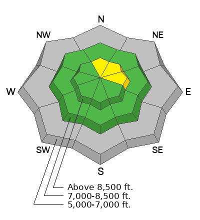
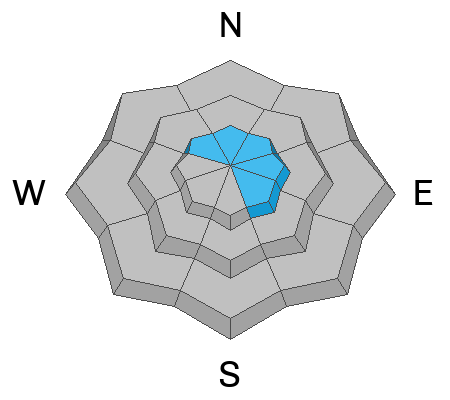
The Tony Grove Snotel at 8400' reports 2 inches of new snow overnight, and 5 inches accumulated at the site on Sunday. We found decent, shallow powder and hazardous, shallow conditions yesterday. Surface hoar had already formed on the rapidly weakening fresh snow surface. The recent snow caps shallow, sugary, and very weak faceted snow, especially on northerly-facing slopes, where a solid layer of refrozen October snow covers the ground. A westerly wind picked up another notch overnight, and this morning, sustained winds from the west-southwest are blowing 30 to 45 mph on both Logan Peak and Paris Peak. The wind is plenty strong enough to drift the fresh powder onto steep slopes with weak snow.

*This from this morning's NWS forecast discussion: "A storm system will bring light valley and mountain snow to much of Utah and southwest Wyoming today and Wednesday. Dry conditions are expected on Thursday, though they will be short-lived as an atmospheric river brings potential for more considerable valley rain and northern mountain snow Friday into the weekend."

In the Logan Zone: Today and tonight, snow is likely, with 3 to 7 inches of accumulation possible in upper elevation terrain. West winds are expected to become light and variable late tonight. High temperatures today at 9000' will be around 22° F, and Low temperatures will drop to around 18° F tonight. More mountain snow is expected Thursday night and Friday, with significant accumulations possible.

Recent Avalanches
For observations and avalanche activity in the Logan Zone, go HERE
Avalanche Problem #1
Wind Drifted Snow
Type
Location
Likelihood
Size
Description
People could trigger small wind slab avalanches on drifted upper-elevation slopes steeper than about 30° in slope steepness.
  • Even a small avalanche could be quite dangerous in these shallow snow conditions, because you might be dragged through the rocks or down trees below.
  • Follow safe travel protocols; travel in the backcountry with companions, but cross (or ride) steep slopes one person at a time while the rest of your party watches from a safer place.
  • See video of early-season snow conditions.
Additional Information

For more information, visit the UAC weather page here: UAC Weather Page For Logan-specific weather, go here: Logan Mountain Weather

-For all questions on forecasts, education, Know Before You Go, events, online purchases, or fundraising, call 801-365-5522.

-Remember, the information you provide could save lives, especially if you see or trigger an avalanche. To report an avalanche or submit an observation from the backcountry, go HERE

-Receive forecast region-specific text message alerts to receive messages about changing avalanche conditions, watches, and warnings. Sign up and update your preferences HERE

This forecast is from the U.S.D.A. Forest Service, which is solely responsible for its content. This forecast describes general avalanche conditions and local variations always occur.

General Announcements
This information does not apply to developed ski areas or highways where avalanche control is normally done. This forecast is from the U.S.D.A. Forest Service, which is solely responsible for its content. This forecast describes general avalanche conditions and local variations always occur.