| During the month of April, Mark Miller will donate $75 to the charity of your choice (5 to chose from, including the Utah Avalanche Center!) Mark Miller Subaru has raised over $300k in the previous 6 Do Good Feel Good events. More Info here |  |
| During the month of April, Mark Miller will donate $75 to the charity of your choice (5 to chose from, including the Utah Avalanche Center!) Mark Miller Subaru has raised over $300k in the previous 6 Do Good Feel Good events. More Info here | |
| Advisory: Salt Lake Area Mountains | Issued by Brett Kobernik for Wednesday - February 11, 2015 - 6:59am |
|---|

|
bottom line There is generally a LOW avalanche danger today. Anticipate minor wet activity on sunny slopes as the newest snow heats up. Avoid being in confined gullies and on or below steep sunny slopes as the snow gets wet.
|
 |
current conditions Observations from Tuesday included improved riding conditions, minor sluffing of the new snow, the formation of a few stubborn wind slabs along the ridges, and some scattered graupel pooling. Skies cleared out and the temperatures cooled into around 20 in the mid elevations and upper teens in the higher terrain. Winds have shifted to the northeast and are generally light with moderate speeds along the upper elevation more exposed terrain. Here's a pretty neat quick video clip from our pal Jake who found a deep pocket where graupel rolled down from a steep slope above and collected. We refer to this as 'graupel pooling'. It occasionally can act as a weak layer if a slab of snow forms on top of it: |
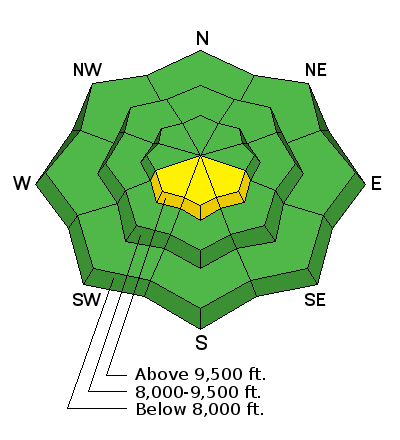
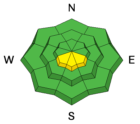
| type | aspect/elevation | characteristics |
|---|

|
|
LIKELIHOOD
 LIKELY
UNLIKELY
SIZE
 LARGE
SMALL
TREND
 INCREASING DANGER
SAME
DECREASING DANGER
|
|
description
Avalanche conditions are relatively safe right now but there could be some activity of various types today. Anticipate the following:
While I expect to hear of some activity as described, none of it is really going to pose that much threat to people unless you are in terrain with serious consequences. Don't let your guard down though because that's when you might get caught. |
 |
weather High pressure will start to build into our area bringing a warming trend into the weekend. Today we'll see mostly clear skies with ridgetop temperatures in the mid 20s and mid 30s at the 8000 foot level and light to moderate speed easterly wind. Winds will shift south then west as the week progresses with slightly higher temps each day into Saturday. The 'time-height' charts from the weather models are some of our favorites at the Utah Avalanche Center. These charts show anticipated weather for a given location from the ground up through the atmosphere. The time is read from right to left with today being on the far right side and next Wednesday being on the left. Pressure in millibars is read on the left with 850.0 being about the valley elevation level, 700.0 is around 10,000' and 500.0 is around 18000'. Colors represent relative humidity and green would indicate the possibility of clouds. Wind speed and direction is depicted by 'wind barbs'. Speed in knots roughly is similar to speed in mph. Below is a key to reading speeds. Each half of a bar represents 5 knots and each full bar represents 10 knots, and a triangle represents 50 knots. The wind direction of these barbs would be from the northwest.
So, below is the chart for the Salt Lake region centered over our office near the airport. This is pretty representative for the Wasatch mountains. You can see that the winds will shift from the east today to the west by tomorrow. Looking at the 700.00MB level, it looks like they will increase in speed and shift more to the northwest Thursday into Friday then slow Saturday morning before increasing again into Monday. The 'Freezing Level' clearly depicts the gradual warm up into Saturday. Occasional clouds are shown by the minor patches of green with a minor disturbance of some sort showing up on Monday with some instability present then.
One of the best places to find these charts is from the University of Utah weather website run by Jim Steenburgh and his students. Look for 'Theta-e Time Height' on the left hand menu. Thanks Jim, this stuff is awesome!!! |
| general announcements
Remember your information can save lives. If you see anything we should know about, please participate in the creation of our own community avalanche advisory by submitting snow and avalanche conditions. You can also call us at 801-524-5304, email by clicking HERE, or include #utavy in your tweet or Instagram. If you trigger an avalanche in the backcountry - especially if you are adjacent to a ski area – please call the following teams to alert them to the slide and whether anyone is missing or not. Rescue teams can be exposed to significant hazard when responding to avalanches, and do not want to do so when unneeded. Thanks. Salt Lake and Park City – Alta Central (801-742-2033), Canyons Resort Dispatch (435-615-3322) Snowbasin Resort Dispatch (801-620-1017), Powder Mountain Dispatch (801-745-3772 x 123). Sundance Dispatch (801-223-4150) EMAIL ADVISORY If you would like to get the daily advisory by email you will need to subscribe here. DAWN PATROL Hotline updated daily by 5-530am - 888-999-4019 option 8. Twitter Updates for your mobile phone - DETAILS UDOT canyon closures: LINK TO UDOT, or on Twitter, follow @UDOTavy, @CanyonAlerts or @AltaCentral Utah Avalanche Center mobile app - Get your advisory on your iPhone along with great navigation and rescue tools. Wasatch Powderbird Guides Blog/Itinerary for the Day. Lost or Found something in the backcountry? - http://nolofo.com/ Discount lift tickets are now available at Backcountry.com. Thanks to Ski Utah and the Utah Resorts. All proceeds go towards paying for Utah Avalanche Center avalanche and mountain weather advisories. To those skinning uphill at resorts: it is your responsibility to know the resort policy on uphill travel. You can see the uphill travel policy for each resort here. IMPORTANT: Before skinning or hiking at a resort under new snow conditions, check in with Ski Patrol. Resorts can restrict or cut off access if incompatible with control and grooming operations. Benefit the Utah Avalanche Center when you shop from Backcountry.com or REI: Click this link for Backcountry.com or this link to REI, shop, and they will donate a percent of your purchase price to the UAC. Both offer free shipping (with some conditions) so this costs you nothing! Benefit the Utah Avalanche Center when you buy or sell on ebay - set the Utah Avalanche Center as a favorite non-profit in your ebay account here and click on ebay gives when you buy or sell. You can choose to have your seller fees donated to the UAC, which doesn't cost you a penny. This information does not apply to developed ski areas or highways where avalanche control is normally done. This advisory is from the U.S.D.A. Forest Service, which is solely responsible for its content. This advisory describes general avalanche conditions and local variations always exist. |