Check Out Our Holiday Auction!

Forecast for the Moab Area Mountains

Dave Garcia
Issued by Dave Garcia on
Wednesday morning, December 10, 2025
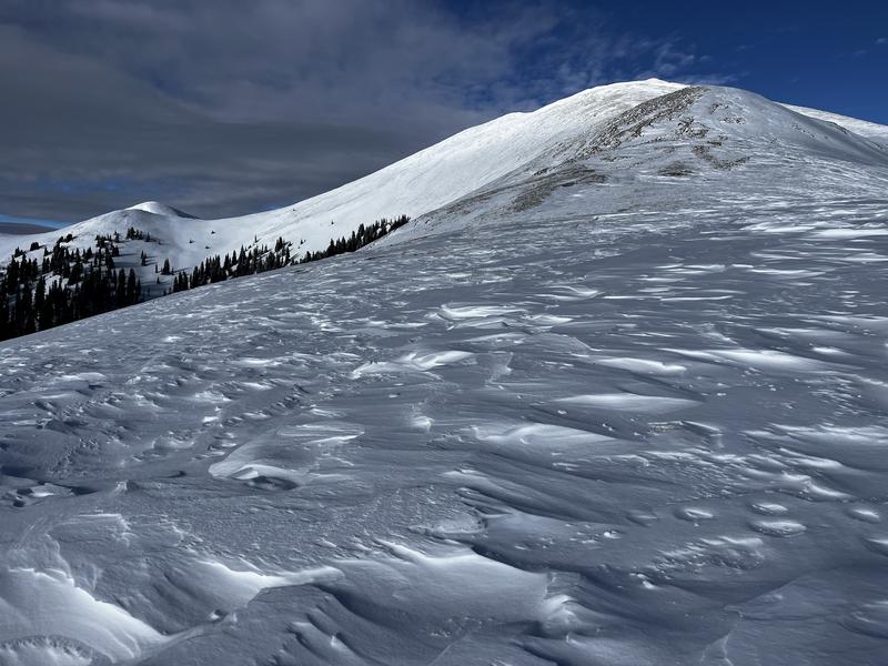
Most terrain has generally LOW danger. Small avalanches on isolated terrain features are possible. This time of year small avalanches can take you for a rough and rocky ride given our shallow early-season snowpack.
Conditions remain very thin, and rocks, stumps, and logs lurk below the surface everywhere. There still isn't enough snow for real turning and riding. Exercise extreme caution getting around.
Low
Moderate
Considerable
High
Extreme
Learn how to read the forecast here
Special Announcements

Geyser Pass Road Conditions: The road has been plowed but the surface is snowpacked and slick. All wheel drive and good tires recommended.

Grooming: The Geyser Pass road above the trailhead will close to vehicles on Dec 15. Grooming will commence after that.

Saturday, December 13 - Moab Winter Kick Off Party at the MARC Bring your skis or board to wax, listen to live music, and bring in another winter season with our local community. Tickets available online now!

Friday, January 30 - Saturday, January 31 - Moab Backcountry 101 Class - Our annual local backcountry avalanche class. Click here for information and registration. Moab and Monticello locals can use the discount code MOAB-LOCAL for a 10% discount.

Weather and Snow

24 Hour Snow: 0" 72 Hour Snow: 0" Season Total Snow: 21" Depth at Gold Basin: 15"

Winds on Pre-Laurel Peak: NW 26-31 Temp: 29° F

Weather

It is a warm 29°F under scattered clouds this morning in Gold Basin. Expect mostly sunny skies today, with a high temperature around 36°F at 10,000 feet. Strong winds blowing out of the northwest are forecast to back off today and blow in the 10 MPH range. The extended forecast looks bleak, with high pressure, sunny skies, and daytime highs 10 to 15 degrees above normal.

General Conditions

Saturday's wind event did a fair amount of damage to exposed terrain. Winds blowing from the northwest have been on a rampage once again. Winds have been blowing in the moderate to strong range for the past 48 hours. In my travels yesterday, I observed little to no snow transport despite the strong winds. It appears that Saturday's wind event fully scoured the windward slopes, leaving very little snow available for transport. Snow surface conditions are currently a mixed bag, with sun crusts and spring-like snow developing on the solars. The highest quality turns are found on sheltered northerly slopes near treeline, but options are limited due to low snow conditions. The average height of snow is about 12 - 24 inches.

The overall avalanche hazard has dropped to low. Our last significant storm was on November 30th. This storm dropped 9 inches of snow with around an inch of snow water equivalent (SWE). The storm snow formed a very soft slab that fell on top of weak, faceted snow and caused a short-lived avalanche cycle. A series of cold, clear nights has weakened the overlying slab due to diurnal recrystallization. At this point, the old slab is weak and faceted, just like the snow beneath it. Of course, low danger doesn't mean no danger. Weak snow is widespread, and strong winds have been blowing out of the northwest for two days. You may find old hard wind drifts or recent soft drifts in isolated areas of steep, leeward terrain.

Wind-ravaged terrain in the high country near Manns Peak (Trenbeath photo). Eric covered a lot of ground on Sunday and produced this video below.

Snowpack and Weather Data

NEW! Gold Basin webcam storm stake

Gold Basin Storm Stake (10,000')

Recent Avalanches
No recent avalanches have been observed. Click here for the complete avalanche database.
Avalanche Problem #1
Normal Caution
Type
Location
Likelihood
Size
Description

The overall danger is low, and normal caution is advised. It is important to remember that low danger and normal caution is not an “anything goes” situation. Continue to keep your guard up and look for any signs of snow instability. Evaluate snow and weather conditions as you travel. Slab distribution is spotty at best, but prudent backcountry travelers will continue to look for and avoid slabs over weak layers, especially in steep, radical terrain. Even a small avalanche could cause season-ending injuries due to our very shallow and rocky early-season snowpack.

The skiing is a little rough out there, but the mountains are white, and the weather is beautiful. Take this time to get up into the mountains and practice with your rescue gear.

Additional Information

It's never too early to start thinking about avalanches. Here are a few things to consider doing:

  • Learn online. We have over 5 hours of free online learning at the Know Before You Go website
  • Check out the upcoming in-person Know Before You Go events HERE
  • Sign up for an on-snow class
  • Check out the UAC's education progression HERE
  • Get your avalanche rescue gear ready for winter. Put fresh batteries in your transceiver and update the firmware. Inspect your shovel and probe. Get your airbag backpack ready by possibly doing a test deployment and updating the firmware if it is an electric version or getting your canister refilled if it's not electronic.
General Announcements
This forecast is from the U.S.D.A. Forest Service, which is solely responsible for its content. This forecast describes general avalanche conditions and local variations always occur.