Forecast for the Logan Area Mountains

Issued by Toby Weed on
Friday morning, November 28, 2025
Friday morning, November 28, 2025
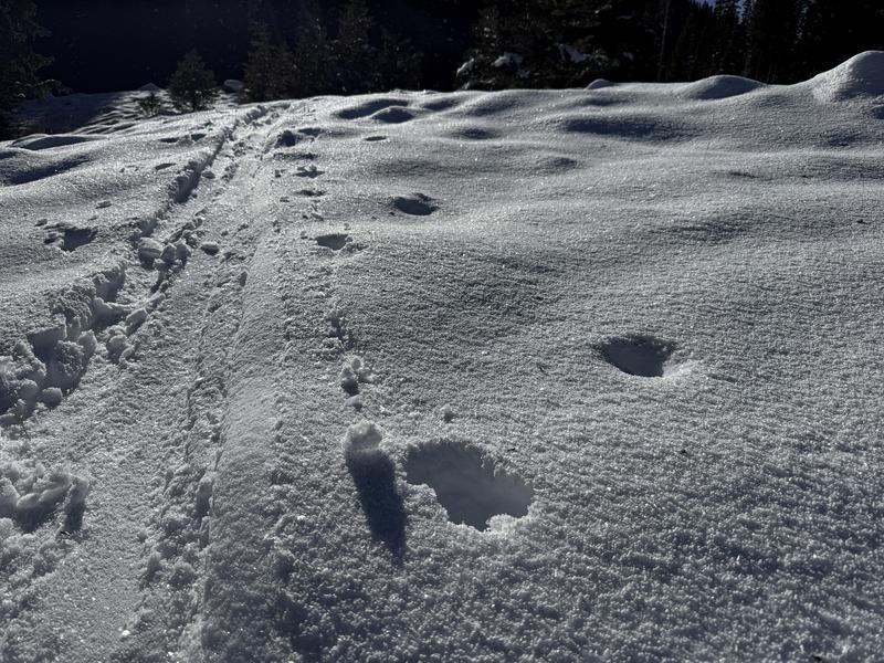
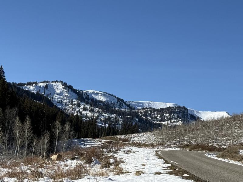
It's time to get our heads back in the game! Expect increasing potential for avalanches in the backcountry as snow begins to accumulate on upper-elevation slopes with preexisting shallow, weak snow. People could trigger small slab avalanches on drifted slopes above 8000' in elevation, steeper than about 30°.
We will start regular avalanche forecasting operations as soon as there is enough snow to cover the rocks, so stay tuned.

Low
Moderate
Considerable
High
Extreme
Learn how to read the forecast here