Forecast for the Provo Area Mountains

Issued by Bo Torrey on
Thursday morning, January 1, 2026
Thursday morning, January 1, 2026
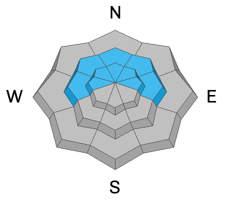
MODERATE avalanche danger exists on W-N-E facing slopes above 9,000 feet. You could trigger a hard slab avalanche breaking 1-3 feet deep and up to 100 feet wide on a persistent weak layer, specifically on steep, rocky slopes loaded by wind.
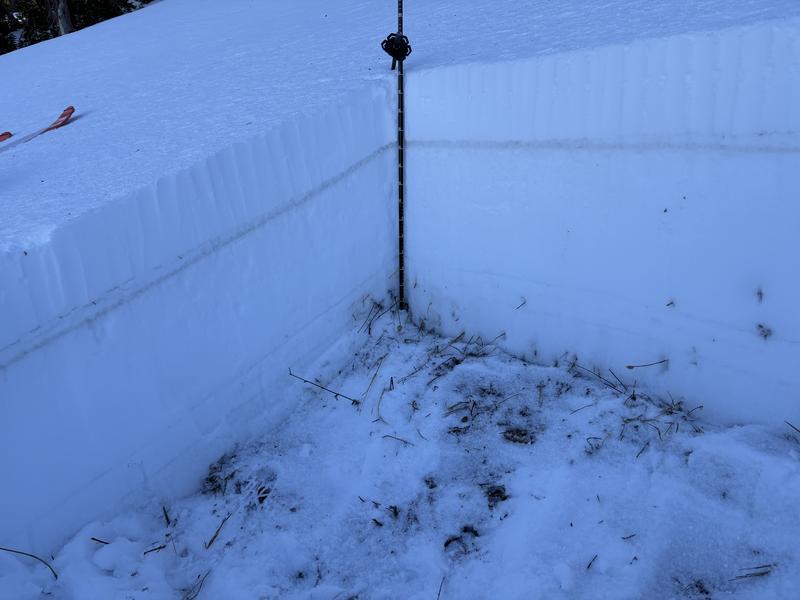
A slick rain crust is creating hazardous slide-for-life conditions. Exercise extra caution on steep, exposed terrain where self-arrest would be difficult.

Low
Moderate
Considerable
High
Extreme
Learn how to read the forecast here