Donate Now to Our Year End Campaign!

Observation: Big Springs

Observation Date
12/29/2025
Observer Name
Torrey
Region
Provo » Provo Canyon » South Fork Provo R. » Big Springs
Location Name or Route
Big Springs
Weather
Sky
Clear
Wind Direction
West
Wind Speed
Light
Weather Comments
Cold and clear this morning. Occasional light breeze but otherwise calm. Evidence of previous wind drifting in upper elevation terrain and mid-elevation terrain below the bowls.
Snow Characteristics
New Snow Depth
5"
New Snow Density
Medium
Snow Surface Conditions
Powder
Faceted Loose
Snow Characteristics Comments

Coverage is 4-10" of low-density snow below 7500 feet on north shady aspects with coverage improving quickly above 8500 feet to more than 2 feet. "Improving" is a relative term here- It's still low tide.

Red Flags
Red Flags
Poor Snowpack Structure
Avalanche Problem #1
Problem
Persistent Weak Layer
Trend
Same
Problem #1 Comments

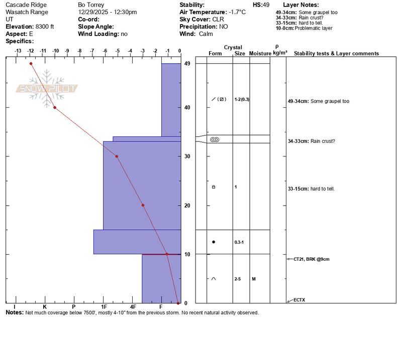
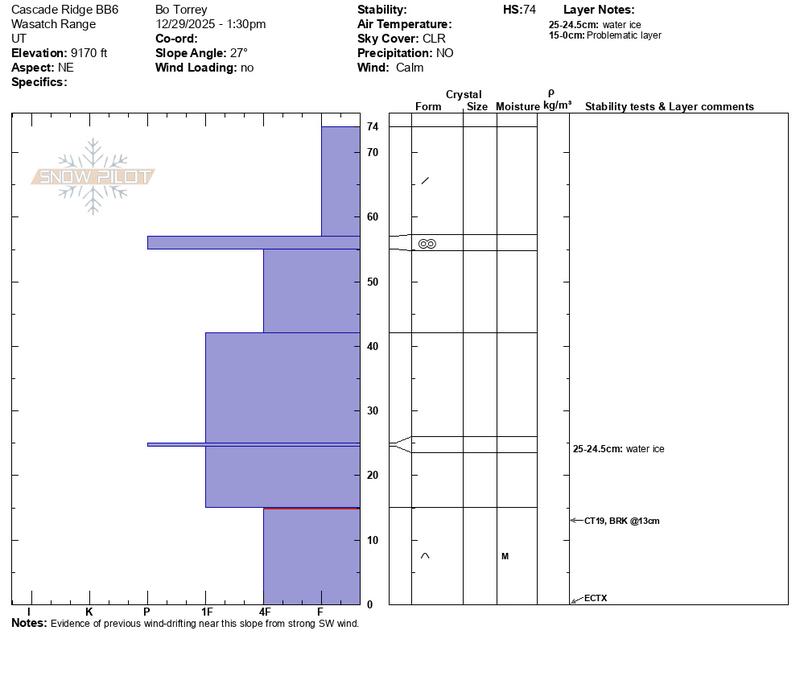
The October & November facete layer near the ground was present above 8000 feet on the North and east-facing slopes I traveled on. One of the more notable differences in my travels was the crust below the recent storm snow. Further north, near Timpanogos, nearly an inch of rain was recorded overnight Christmas Eve into early Christmas Day. In places like the upper Cottonwoods, a notable thick crust is present. In the area I traveled today near Cascade Ridge, the crust was thinner roughly 1 inch thick at 9200 feet. This area received 4-6 inches of low-medium density storm snow after Christmas. In the 2 snowpits I dug today, I had stable test results in my Extended Column Tests ECTX x3.

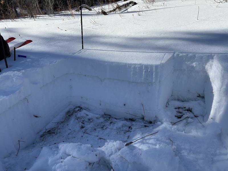
First snowpit (snowpilot below) 8300' on an East-Southeast aspect.

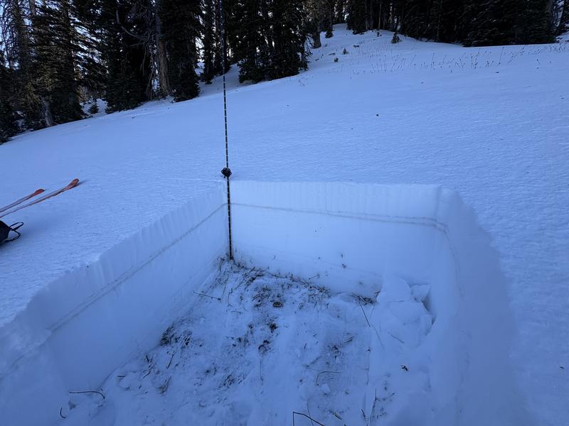
Second snowpit (snowpilot below) 9200' northeast aspect.

Avalanche Problem #2
Problem
Wind Drifted Snow
Trend
Decreasing Danger
Problem #2 Comments

Evidence of previous strong winds working their way into mid-elevation terrain and creating isolated drifts. Each drift I came to was unreactive but worth keeping on your radar.

Comments

Today's Observed Danger Rating
Moderate
Tomorrows Estimated Danger Rating
Moderate
Coordinates