| During the month of April, Mark Miller will donate $75 to the charity of your choice (5 to chose from, including the Utah Avalanche Center!) Mark Miller Subaru has raised over $300k in the previous 6 Do Good Feel Good events. More Info here |  |
| During the month of April, Mark Miller will donate $75 to the charity of your choice (5 to chose from, including the Utah Avalanche Center!) Mark Miller Subaru has raised over $300k in the previous 6 Do Good Feel Good events. More Info here | |
| Advisory: Salt Lake Area Mountains | Issued by Drew Hardesty for Friday - January 23, 2015 - 6:31am |
|---|


|
bottom line The avalanche danger is LOW but remember that your overall risk is amplified by your terrain choices. Minor shallow wind pockets, cornice fall, and shallow loose snow avalanches can be significant for those in severe and unforgiving terrain.
|
 |
special announcement
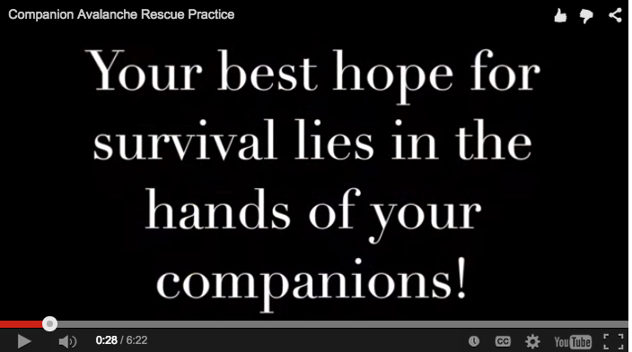
Our first stand-alone 3 hour Companion Rescue Workshop is Friday, January 30th at 5:30 pm at Brighton. Hone your avalanche rescue skills with the UAC forecasters, Wasatch Backcountry Rescue technicians, and long time ski-patrollers. For more info and to sign up, click HERE. |
 |
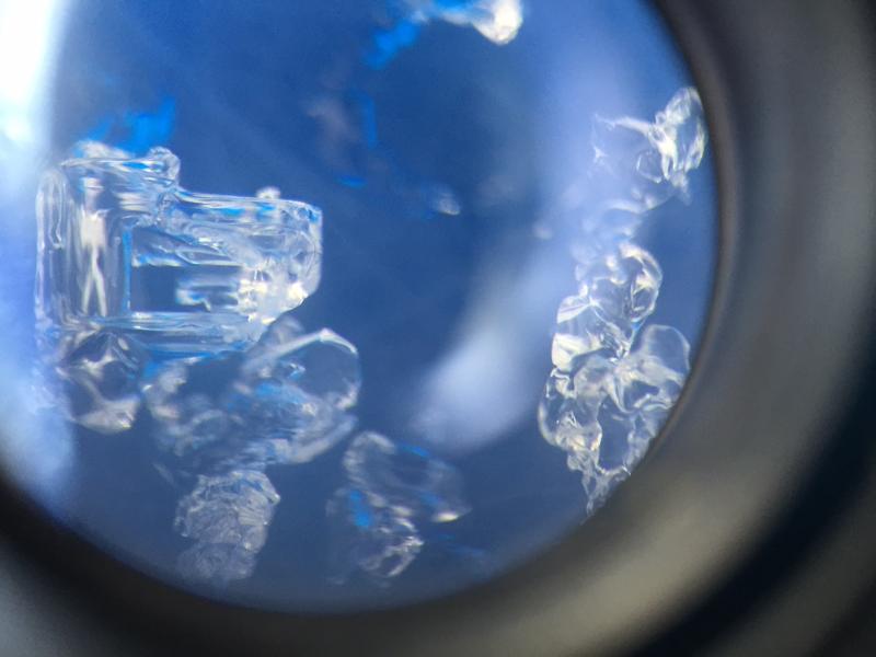
current conditions At the moment, skies are clear though we'll see increasing cloud cover as a clipper races through to the north. Temps are 10-15 degrees warmer than yesterday's overnight lows and are in the upper teens and low 20s. Trailheads and basin temps remain mired in the inversion, sporting temps in the single digits and low teens. Winds along the most exposed ridgelines are northwesterly and blowing 15-20mph but otherwise you'll find winds less than 10mph. Recrystallized, recycled "square" powder remains soft and turn-able for skiing and riding in the sheltered northerly terrain. The "square" refers loosely to the shape of the angular, faceted snow at and near the snow surface commonly formed during periods of high pressure. Generic photo of a square - below. Not actual size.
|
 |
recent activity No avalanche activity was reported from the backcountry yesterday. |
| type | aspect/elevation | characteristics |
|---|

|
|
LIKELIHOOD
 LIKELY
UNLIKELY
SIZE
 LARGE
SMALL
TREND
 INCREASING DANGER
SAME
DECREASING DANGER
|
|
description
If, as many these days assume, Moderate is the new Low - I wonder how people perceive the danger when it's actually Low. Risk is inherent with any mountain travel - and some of you wouldn't go at all if that wasn't the case. But...it is the case and today's concerns, while minor, will be more-so in and above unforgiving "no-fall" terrain. They include -
Throwback Friday - blog post on Risk Tolerance and Perception I throw this out there again as we've noted some recent 2nd guessing of risk tolerance of others - |
 |
weather Increasing clouds will hint at some ill-defined disturbance passing by to the north though it'll only be a blip on the radar screen before fading off to the east. Looks like we'll have another, similar "event" for Saturday. Temps today will be in the 20s; winds from the northwest...veering to the northeast by the evening...blowing 20-25mph along the high ridgelines. The ridge of high pressure tightens its noose over the intermountain west late in the weekend with mountain temps perhaps reaching into the 40s. Of great interest, however, is a storm brewing off the coast of Baja... |
| general announcements
Remember your information can save lives. If you see anything we should know about, please participate in the creation of our own community avalanche advisory by submitting snow and avalanche conditions. You can also call us at 801-524-5304, email by clicking HERE, or include #utavy in your tweet or Instagram. If you trigger an avalanche in the backcountry - especially if you are adjacent to a ski area – please call the following teams to alert them to the slide and whether anyone is missing or not. Rescue teams can be exposed to significant hazard when responding to avalanches, and do not want to do so when unneeded. Thanks. Salt Lake and Park City – Alta Central (801-742-2033), Canyons Resort Dispatch (435-615-3322) Snowbasin Resort Dispatch (801-620-1017), Powder Mountain Dispatch (801-745-3772 x 123). Sundance Dispatch (801-223-4150) EMAIL ADVISORY If you would like to get the daily advisory by email you will need to subscribe here. DAWN PATROL Hotline updated daily by 5-530am - 888-999-4019 option 8. Twitter Updates for your mobile phone - DETAILS UDOT canyon closures: LINK TO UDOT, or on Twitter, follow @UDOTavy, @CanyonAlerts or @AltaCentral Utah Avalanche Center mobile app - Get your advisory on your iPhone along with great navigation and rescue tools. Wasatch Powderbird Guides Blog/Itinerary for the Day. Lost or Found something in the backcountry? - http://nolofo.com/ Discount lift tickets are now available at Backcountry.com. Thanks to Ski Utah and the Utah Resorts. All proceeds go towards paying for Utah Avalanche Center avalanche and mountain weather advisories. To those skinning uphill at resorts: it is your responsibility to know the resort policy on uphill travel. You can see the uphill travel policy for each resort here. IMPORTANT: Before skinning or hiking at a resort under new snow conditions, check in with Ski Patrol. Resorts can restrict or cut off access if incompatible with control and grooming operations. Benefit the Utah Avalanche Center when you shop from Backcountry.com or REI: Click this link for Backcountry.com or this link to REI, shop, and they will donate a percent of your purchase price to the UAC. Both offer free shipping (with some conditions) so this costs you nothing! Benefit the Utah Avalanche Center when you buy or sell on ebay - set the Utah Avalanche Center as a favorite non-profit in your ebay account here and click on ebay gives when you buy or sell. You can choose to have your seller fees donated to the UAC, which doesn't cost you a penny. This information does not apply to developed ski areas or highways where avalanche control is normally done. This advisory is from the U.S.D.A. Forest Service, which is solely responsible for its content. This advisory describes general avalanche conditions and local variations always exist. |