
| During the month of April, Mark Miller will donate $75 to the charity of your choice (5 to chose from, including the Utah Avalanche Center!) Mark Miller Subaru has raised over $300k in the previous 6 Do Good Feel Good events. More Info here |  |
| During the month of April, Mark Miller will donate $75 to the charity of your choice (5 to chose from, including the Utah Avalanche Center!) Mark Miller Subaru has raised over $300k in the previous 6 Do Good Feel Good events. More Info here | |
| Advisory: Salt Lake Area Mountains | Issued by Brett Kobernik for Tuesday - October 29, 2013 - 8:40pm |
|---|

|
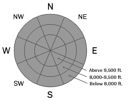
bottom line The older snow from early October has become weak and is currently acting as a weak layer under the new snow producing avalanches on north facing slopes above 9500. Anticipate these conditions to still be sensitive for a few days.
|
 |
special announcement The Utah Snow and Avalanche Workshop is being presented this Saturday, November 2nd. Details for the morning session for professionals can be viewed HERE and the afternoon session for everyone can be viewed HERE |
 |
current conditions A large low pressure system is moving through and has deposited an average of 6 inches of new snow in most locations with up to around 11 in the most favored areas such as upper Big and Little Cottonwood Canyons. The new snow is of medium density at around 10%. Temperatures have been in the 20s since the storm rolled in on Monday. Winds were fairly stiff from the south during the onset of the storm and have tapered off to almost nothing now, still from a southerly direction. |
 |
recent activity The first avalanches of the year were reported today and all involved a weak sugary layer of faceted snow near the ground that's been around since early October. Two were natural avalanches and one was a remotely skier triggered avalanche. They ranged 30 to 60 feet wide and were all around 10" deep.
There are a number of other observations from last weekend as well:
You can also check out the Advisory Archives for older advisories if you want to see what's been going on up to this point (not much so far!) |
 |
weather The large low pressure system will continue to move through our area but probably won't add much more snow other than a few more flurries. It will finally exit late Wednesday/early Thursday. Winds will remain fairly light and then increase as the flow switches northwest as the trough moves away. Temperatures will start to rebound as a ridge of high pressure moves in for the end of the week. Looking at the current weather model runs, I don't see anything that's going to produce any significant snow in the near future. |
| general announcements If you trigger an avalanche in the backcountry - especially if you are adjacent to a ski area – please call the following teams to alert them to the slide and whether anyone is missing or not. Rescue teams can be exposed to significant hazard when responding to avalanches, and do not want to do so when unneeded. Thanks. Salt Lake and Park City – Alta Central (801-742-2033), Canyons Resort Dispatch (435-615-3322) Twitter Updates for your mobile phone - DETAILS UDOT canyon closures UDOT at (801) 975-4838 Remember your information can save lives. If you see anything we should know about, please participate in the creation of our own community avalanche advisory by submitting snow and avalanche conditions. You can also call us at 801-524-5304 or 800-662-4140, email by clicking HERE, or include #utavy in your tweet. |


