

Avalanche Advisory
| Advisory: Salt Lake Area Mountains | Issued by Brett Kobernik for March 3, 2013 - 6:44am |
|---|


Above 9,500 ft.
8,000-9,500 ft.
Below 8,000 ft.
|
bottom line There's an overall MODERATE avalanche danger today. Pay attention to the new snow as it falls watching for any spike in snowfall rates as well as cracking which indicates instability. Steep lower elevation terrain should be avoided today with the warm overnight temperatures and the possibility of rain during the day.
|


 |
current conditions Temperatures remained pretty mild overnight with many stations hovering right around freezing and higher. Winds are moderate from the west along the ridges and light with moderate gusts in the lower elevations. Melt freeze crusts will be present on most slopes aside from the higher more northerly aspects. |
 |
recent activity We squeaked through Saturday without a huge Also, a snowboarder intentionally triggered a chunk of cornice high in Main Porter Fork of Mill Creek which initiated a small soft slab avalanche that was a couple feet deep and 30 feet wide. Great write up here -> DETAILS |
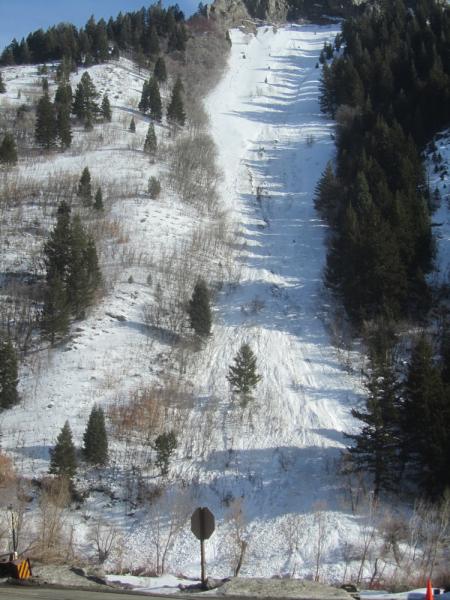 amount of heat related activity but our good friend Bill Nalli (UDOT - Provo Cyn) did report a couple of slides that were noteworthy especially one in Provo Canyon's Snowslide Jr path which put a decent sized pile of debris on the walking path below it.
Avalanche Problem 1over the next 24 hours
| type | aspect/elevation | characteristics |
|---|
 |


Above 9,500 ft.
8,000-9,500 ft.
Below 8,000 ft.
|
|
|
description
We always need to pay attention to what the new snow does during anticipated storms. It's important to pay attention to how well it bonds to the old snow surface as it starts to stack up. Look for any instabilities within the new snow layering also as it gets deeper watching for cracking as you travel. Periods of intense snowfall can rapidly spike the danger. I'm not anticipating things to get real dangerous today but it's imperative to not disregard new snow events. |

Avalanche Problem 2over the next 24 hours
| type | aspect/elevation | characteristics |
|---|
 |


Above 9,500 ft.
8,000-9,500 ft.
Below 8,000 ft.
|
|
|
description
The mild overnight temperatures give me a little concern about wet activity especially in the steeper low elevation terrain traps and such. Temperatures should start to cool but we are going to see some rain below about 6500' or so. It's best to avoid being in confined gullies, terrain traps and below any very steep slopes in the lower elevations where the snowpack is damp, punchy, or saturated. |

 |
weather We should see snow showers start this morning. Temperatures should cool during the day but the rain/snow line will remain around 6500' for most of the day before dropping tonight. Most of the snow should fall this afternoon and the more favored areas could pick up 6 inches of medium density snow in a westerly flow. Westerly winds should bump in speed slightly but generally remain in the moderate speed category. Temperatures cool into the teens tonight as the system exits. |
| general annoucements Go to http://www.backcountry.com/utah-avalanche-center to get tickets from our partners at Beaver Mountain, Canyons, Sundance, and Wolf Mountain. All proceeds benefit the Utah Avalanche Center. If you trigger an avalanche in the backcountry - especially if you are adjacent to a ski area – please call the following teams to alert them to the slide and whether anyone is missing or not. Rescue teams can be exposed to significant hazard when responding to avalanches, and do not want to do so when unneeded. Thanks. Salt Lake and Park City – Alta Central (801-742-2033), Canyons Resort Dispatch (435-615-3322) Ogden – Snowbasin Patrol Dispatch (801-620-1017) Powder Mountain Ski Patrol Dispatch (801-745-3772 ex 123) Provo – Sundance Patrol Dispatch (801-223-4150) Dawn Patrol Forecast Hotline, updated by 05:30: 888-999-4019 option 8. Twitter Updates for your mobile phone - DETAILS Daily observations are frequently posted by 10 pm each evening. Subscribe to the daily avalanche advisory e-mail click HERE. UDOT canyon closures UDOT at (801) 975-4838 Wasatch Powderbird Guides does daily updates about where they'll be operating on this blog http://powderbird.blogspot.com/ . Remember your information can save lives. If you see anything we should know about, please participate in the creation of our own community avalanche advisory bysubmitting snow and avalanche conditions. You can also call us at 801-524-5304 or 800-662-4140, or email by clicking HERE Donate to your favorite non-profit –The Friends of the Utah Avalanche Center. The UAC depends on contributions from users like you to support our work. For a print version of this advisory click HERE. This advisory is produced by the U.S. Forest Service, which is solely responsible for its content. It describes only general avalanche conditions and local variations always exist. Specific terrain and route finding decisions should always be based on skills learned in a field-based avalanche class. |