25th Annual Black Diamond Fall Fundraising Party
Thursday, September 13; 6:00-10:00 PM; Black Diamond Parking Lot
25th Annual Black Diamond Fall Fundraising Party
Thursday, September 13; 6:00-10:00 PM; Black Diamond Parking Lot
| Advisory: Logan Area Mountains | Issued by Toby Weed for Friday - February 16, 2018 - 6:40am |
|---|

|
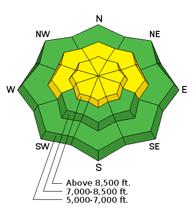
bottom line Heightened avalanche conditions exist in the backcountry, and the danger is MODERATE. Human triggered wind slab and storm snow avalanches are possible. Drifting from increasing southwest winds this afternoon will cause a rising danger, and dangerous conditions may develop in exposed upper elevation terrain, with natural avalanches possible and human triggered avalanches likely.
|
 |
special announcement Episode 5 of the UAC podcast To Hell in a Heartbeat - A Conversation With Tom Diegel and Matt Clevenger About the 12.26.08 Full Burial on Little Water is live. This podcast talks with Matt and Tom about their experience and the massive success of the To Hell in a Heartbeat video which has been viewed almost 3M times. Check it out on ITunes, Stitcher, the UAC blog, or wherever you get your podcasts. |
 |
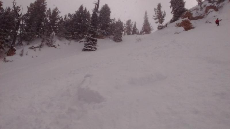
current conditions We found fine Utah powder conditions yesterday in the Central Bear River Range, with well over a foot of nice new snow at upper elevations and several much needed inches down lower and at the trail-heads, refreshing access routes. Human triggered wind slab and storm snow avalanches are possible on many steep upper and mid-elevation slopes.
|
 |
recent activity
|
| type | aspect/elevation | characteristics |
|---|

|
|
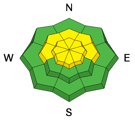
LIKELIHOOD
 LIKELY
UNLIKELY
SIZE
 LARGE
SMALL
TREND
 INCREASING DANGER
SAME
DECREASING DANGER
|
|
description
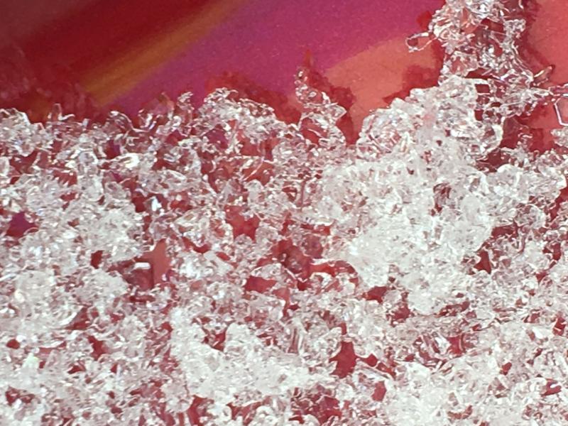
Southwest winds will increase significantly by this afternoon and will find plenty of nice light snow to drift. The increasing wind will build up existing slabs and create new drifts in lee slope deposition areas at upper elevations. Today's wind slabs in exposed terrain could be stiffer, thicker, wider, run farther, and be less manageable than they were yesterday.
|
| type | aspect/elevation | characteristics |
|---|

|
|
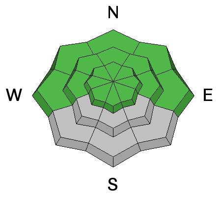
LIKELIHOOD
LIKELY
UNLIKELY
SIZE
LARGE
SMALL
TREND
 INCREASING DANGER
SAME
DECREASING DANGER
|
|
description
Soft storm slab and loose avalanches entraining yesterday's new snow and running on a slick ice-crust are possible in steep terrain at upper and mid-elevations. |
| type | aspect/elevation | characteristics |
|---|

|
|
LIKELIHOOD
 LIKELY
UNLIKELY
SIZE
LARGE
SMALL
TREND
INCREASING DANGER
SAME
DECREASING DANGER
|
|
description
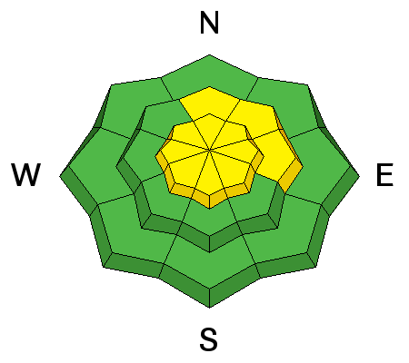
Continue to practice safe travel protocols by exposing only one person at a time when moving through avalanche terrain. Widespread buried faceted layers appear dormant for now, but if you trigger an avalanche running on old snow it could be dangerous. Continue to avoid very steep rocky slopes with shallow snow and poor snow structure.
|
 |
weather A weak system will impact far northern Utah and southwest Wyoming today and tomorrow. A colder and wetter storm system is expected to significantly impact the entire region this weekend into early next week.
|
| general announcements The latest UAC podcast - "Recreating Like a Pro - A Conversation with IFMGA guide Anna Keeling" is live. This podcast will be ideal for anyone looking to pick up some tips and tricks from a professional mountain guide for recreating in the winter backcountry environment. We have discount lift tickets for Alta, Snowbird, Brighton, Solitude, Snowbasin,and Beaver Mountain. Details and order information here. All proceeds from your purchase go towards paying for avalanche forecasting and education. The UAC Marketplace is online. The holiday auction is closed, but our online marketplace still has deals on skis, packs, airbag packs, beacons, snowshoes, soft goods and much more. The UAC has new support programs with Outdoor Research and Darn Tough. Support the UAC through your daily shopping. When you shop at Smith's, or online at Outdoor Research, REI, Backcountry.com, Darn Tough, Patagonia, NRS, Amazon, eBay a portion of your purchase will be donated to the FUAC. See our Donate Page for more details on how you can support the UAC when you shop. Benefit the Utah Avalanche Center when you buy or sell on eBay - set the Utah Avalanche Center as a favorite non-profit in your eBay account here and click on eBay gives when you buy or sell. You can choose to have your seller fees donated to the UAC, which doesn't cost you a penny Check it out on ITunes, Stitcher, the UAC blog, or wherever you get your podcasts. Now is a great time to practice companion rescue techniques with your backcountry partners. Here's our rescue practice video. EMAIL ADVISORY: If you would like to get the daily advisory by email you will need to subscribe here. Remember your information can save lives. If you see anything we should know about, please help us out by submitting snow and avalanche observations. You can also call us at 801-524-5304, email by clicking HERE, or include #utavy in your Instagram. This advisory is from the U.S.D.A. Forest Service, which is solely responsible for its content. This advisory describes general avalanche conditions and local variations always occur. |