| Please join us at the 23rd annual Black Diamond Fall Fundraiser Party Thursday Sept 15. Tickets are on sale now here, at the Black Diamond store & at REI. Special bonus raffle for online ticket purchasers! |
| Please join us at the 23rd annual Black Diamond Fall Fundraiser Party Thursday Sept 15. Tickets are on sale now here, at the Black Diamond store & at REI. Special bonus raffle for online ticket purchasers! |
| Advisory: Logan Area Mountains | Issued by Toby Weed for Wednesday - March 23, 2016 - 6:52am |
|---|

|
bottom line CONSIDERABLE (level 3): Significant overnight accumulations and sustained northwest winds probably created dangerous wind slab avalanche conditions, and you are likely to trigger avalanches on some drifted upper elevation slopes. Triggered wind slab, storm snow, and large cornice fall avalanches are possible in upper and mid-elevation terrain, and solar warming may cause increasing loose wet avalanche danger on sunny slopes later today. Evaluate the snow and terrain carefully, and avoid drifted upper elevation slopes.
|
 |
special announcement ***Please take time to complete a quick survey that will help us better serve you in the future. HERE
|
 |
current conditions The Tony Grove Snotel at 8400' reports 22 degrees this morning and 14 inches of new snow in the last 24 hrs, containing 1.1" of snow water equivalent. There's an even 100 inches of total snow containing 106% of average water for the date. I'm reading 14 degrees at the 9700' CSI Logan Peak weather station, with steady north-northwest winds, now averaging around 18 mph. Drifting of significant overnight accumulations by sustained northwest winds probably created dangerous wind slab avalanche conditions on some upper elevation slopes.
|
 |
recent activity
***To view our updated list of backcountry observations and avalanche activity from around Utah, go to our observations page
|
| type | aspect/elevation | characteristics |
|---|

|
|
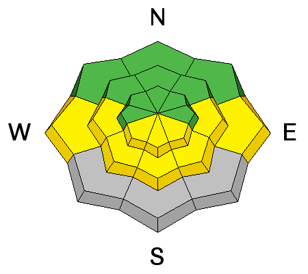
LIKELIHOOD
 LIKELY
UNLIKELY
SIZE
 LARGE
SMALL
TREND
 INCREASING DANGER
SAME
DECREASING DANGER
|
|
description
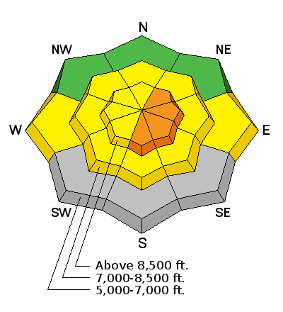
Heightened wind slab and cornice fall conditions exist due to significant overnight accumulations and drifting at upper and mid elevations, with avalanches possible on many slopes. There are probably some more dangerous drifted slopes at upper elevations where human triggered avalanches are likely.
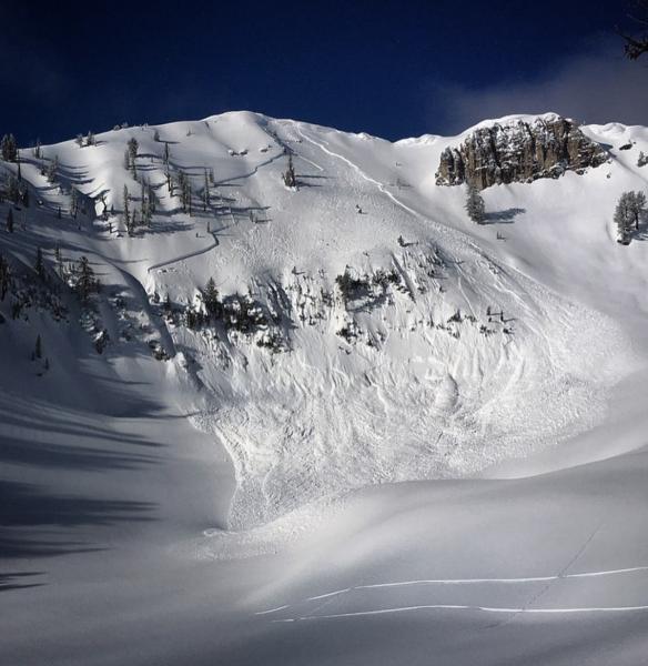
A beautiful photo by Jeremy Jensen (the Mayor of Tony Grove) from Saturday morning showing a recent natural avalanche in Castle Rock near Naomi Peak. The large wind slab (or perhaps persistent slab) looks like it was triggered by cornice fall. (3-19-16)
|
| type | aspect/elevation | characteristics |
|---|

|
|
LIKELIHOOD
 LIKELY
UNLIKELY
SIZE
LARGE
SMALL
TREND
 INCREASING DANGER
SAME
DECREASING DANGER
|
|
description
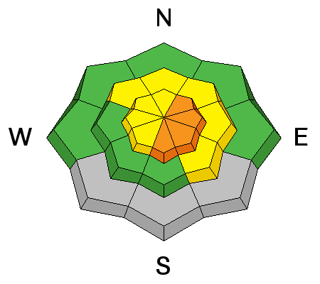
Triggered soft slabs and long running sluffs involving the new snow are possible on many steep slopes with significant accumulations of new snow.
|
| type | aspect/elevation | characteristics |
|---|

|
|
LIKELIHOOD
LIKELY
UNLIKELY
SIZE
LARGE
SMALL
TREND
INCREASING DANGER
SAME
DECREASING DANGER
|
|
description
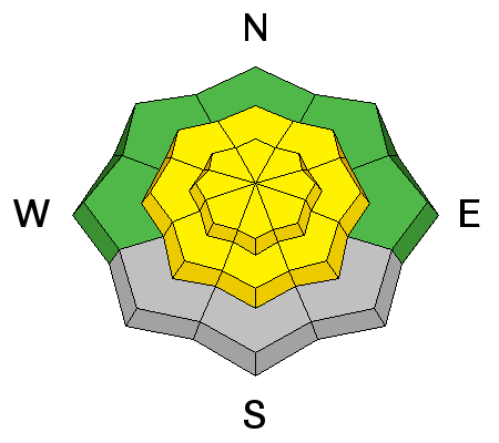
If the high angled March sun comes out for a while later today, loose wet avalanches entraining a good amount of fresh snow will become possible, especially in sheltered sunny terrain. |
 |
weather Expect partly sunny conditions in the mountains today, with 8500' high temperatures around 31 degrees and continuing northwest winds. There's a chance for a few snow showers this afternoon, but little accumulation is expected. It'll be mostly cloudy tonight with a low temperature around 21 degrees and west-northwest wind. It'll be mostly cloudy tomorrow, with high temperatures in the mid thirties, westerly winds around 20 mph and show showers in the afternoon. The next Pacific storm system will arrive late Friday and affect the region through Saturday. |
| general announcements The National Avalanche Center recently completed an animated tutorial on the North American Avalanche Danger Scale. HERE Please submit snow and avalanche observations from your ventures in the backcountry HERE. You can call us at 801-524-5304 or email HERE, or include #utavy in your Instagram or Tweet us @UAClogan. To report avalanche activity in the Logan Area or to contact the local avalance forecaster call me, Toby, at 435-757-7578. We'll update this advisory throughout the season on Monday, Wednesday, Friday, and Saturday mornings by about 7:30 This advisory is produced by the U.S.D.A. Forest Service, which is solely responsible for its content. It describes only general avalanche conditions and local variations always exist.
|