| During the month of April, Mark Miller will donate $75 to the charity of your choice (5 to chose from, including the Utah Avalanche Center!) Mark Miller Subaru has raised over $300k in the previous 6 Do Good Feel Good events. More Info here |  |
| During the month of April, Mark Miller will donate $75 to the charity of your choice (5 to chose from, including the Utah Avalanche Center!) Mark Miller Subaru has raised over $300k in the previous 6 Do Good Feel Good events. More Info here | |
| Advisory: Logan Area Mountains | Issued by Toby Weed for Wednesday - April 8, 2015 - 8:04am |
|---|

|
bottom line The snow is stable on most slopes, but heightened wet avalanche conditions may develop with daytime heating at upper elevations in the backcountry.
|
 |
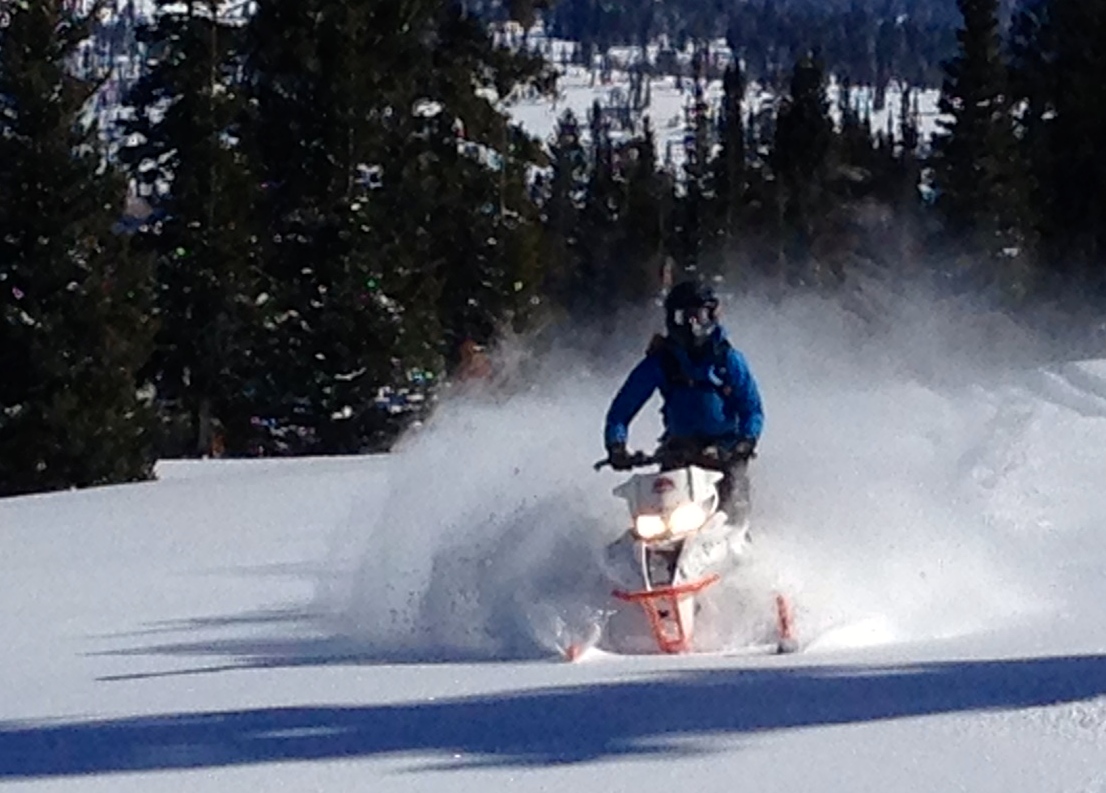
special announcement Many thanks to YOU, our supporters and partners, Region 4 of the Forest Service, the Uinta-Wasatch-Cache National Forest, the Logan Ranger District, and the Friends of the Utah Avalanche Center, for making these advisories and the very existence of the Utah Avalanche Center in Logan possible. As we're rapidly heading into spring, and with much of the snow and access to upper elevations now melted out, we're done posting regular advisories and overall danger ratings for the season. Stay tuned however, as we'll continue to update the Logan Zone Advisory intermittently through April, especially as snow and avalanche conditions change in the backcountry. Special thanks to Buttar's of Tremonton and ArcticCat for hooking us up with the light and powerful M8000 for the all-too-short 2015 season.
|
 |
current conditions We've stopped issuing regular advisories earlier than usual this year due to lack of snow in the backcountry. The Tony Grove Snotel at 8400' reports an inch of new snow overnight and 51 inches of total snow, containing 69% of average water content for the date, and it's 33 degrees this morning. It's 32 degrees at the UDOT Hwy 89 Summit weather station, with increasing west winds.....
|
 |
recent activity No avalanches were recently reported in the Logan Zone, and it's been a relatively quite season in the backcountry, with only a handful of unintentionally triggered avalanches and no reported injuries. ****Check out our crowd-sourced avalanche information and recent backcountry observations from across the state.........HERE
|
| type | aspect/elevation | characteristics |
|---|

|

|
LIKELIHOOD
 LIKELY
UNLIKELY
SIZE
 LARGE
SMALL
TREND
 INCREASING DANGER
SAME
DECREASING DANGER
|
|
description
Shallow wet avalanches involving this week's fresh snow will become possible with daytime and solar warming at upper elevations.
|
 |
weather
|
| general announcements Please continue to submit snow and avalanche observations from your ventures in the backcountry HERE. You can call us at 801-524-5304 or email HERE, or include #utavy in your Instagram or Tweet us @UAClogan. To report avalanche activity in the Logan Area or to contact the local avalanche forecaster call me, Toby, at 435-757-7578. Many thanks to YOU, Region 4 of the Forest Service, the Uinta-Wasatch-Cache National Forest, the Logan Ranger District, our supporters and partners, and the Friends of the Utah Avalanche Center, for making these advisories and the very existence of the Utah Avalanche Center in Logan possible. This advisory is produced by the U.S.D.A. Forest Service, which is solely responsible for its content. It describes only general avalanche conditions and local variations always exist. |


_1.jpg)