| During the month of April, Mark Miller will donate $75 to the charity of your choice (5 to chose from, including the Utah Avalanche Center!) Mark Miller Subaru has raised over $300k in the previous 6 Do Good Feel Good events. More Info here |  |
| During the month of April, Mark Miller will donate $75 to the charity of your choice (5 to chose from, including the Utah Avalanche Center!) Mark Miller Subaru has raised over $300k in the previous 6 Do Good Feel Good events. More Info here | |
| Advisory: Logan Area Mountains | Issued by Toby Weed for Friday - January 2, 2015 - 7:14am |
|---|

|
bottom line Strong east winds at the end of 2014 created heightened avalanche conditions, and there's a MODERATE (level 2) danger on drifted slopes in the backcountry. Dangerous triggered persistent slab avalanches are rather unlikely, but remain possible in steep upper or mid-elevation terrain, especially on shallow or rocky slopes.
|
 |
special announcement We will offer an Avalanche Awareness Class, for beginners and as a refresher for those already with some training, including a Field Day in the backcountry. Class begins on January 8 (evening) and all day Saturday January 10. Call Paige at 435-757-2794 for more information. |
 |
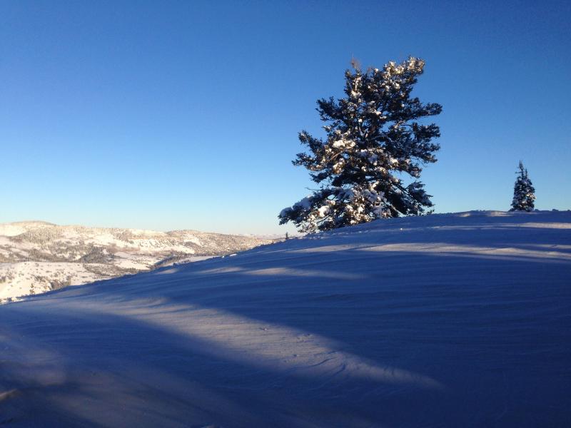
current conditions The Tony Grove Snotel reports 60 inches of total snow at the 8400' site containing 133% of average water for the date, and its 21 degrees this morning. The wind sensor is still rimed at the CSI Logan Peak weather station, but it's 20 degrees. The UDOT Hwy 89 Logan Summit weather station is showing light east wind, and a chilly -1 degree. The strong east wind from earlier in the week decimated the snow in exposed terrain, creating fantastic sastrugi, wind boards, crusts of varied thickness, and stiff wind slabs in unusual places. There's still plenty of nice soft settled powder, and it's especially nice in the more sheltered terrain in the Logan Area Backcountry.
Exposed terrain sure felt the affects of the strong east winds in the final days of 2014.
|
 |
recent activity No avalanches yet reported in the New Year. In fact, it's been pretty quiet in the Logan Zone, with no significant avalanches reported since just before Christmas. Visit our Backcountry Observations Page for more information.....
|
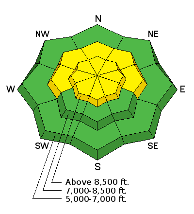
| type | aspect/elevation | characteristics |
|---|

|
|
LIKELIHOOD
 LIKELY
UNLIKELY
SIZE
 LARGE
SMALL
TREND
 INCREASING DANGER
SAME
DECREASING DANGER
|
|
description
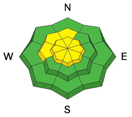
This week's strong east wind event built wind slabs in unusual areas because we are much more used to experiencing drifting from strong south or west winds. Wind slab instability will heal fairly quickly if the drifted snow doesn't pile up on preexisting weak snow, and we've seen a good improvement in stability in the last couple days. Wind slabs formed in deposition areas on the lee side of ridge-lines and in and around terrain features like gullies, scoops, cliff-bands, and sub-ridges. These are fairly obvious now and appear rounded, patterned, chalky looking, and may be hollow sounding. The wind slabs I looked at yesterday were well behaved, but I still avoided those on steeper slopes. Cracking is a red flag indicating potential wind slab instability. ****Watch Cold East Wind video observation from 12-30-2014............HERE
|
| type | aspect/elevation | characteristics |
|---|

|
|
LIKELIHOOD
 LIKELY
UNLIKELY
SIZE
 LARGE
SMALL
TREND
 INCREASING DANGER
SAME
DECREASING DANGER
|
|
description
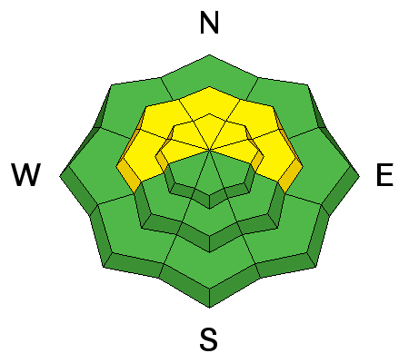
Dangerous and destructive triggered persistent slab avalanches continue to be less likely, but they remain possible in some drifted terrain facing the northern half of the compass and on slopes steeper than about 30 degrees. I triggered a couple nice audible collapses yesterday in shallow west facing terrain. Weak sugary snow under a thick crust from the wet Solstice storm failed, creating loud booming woompfs. Rocky slopes that had shallow snow cover in December appear the most suspect currently. *****Video observation from Franklin Basin in the Beaver Mountain Backcountry from 12-31-2014...........HERE
|
 |
weather A bit of snow is possible for the upcoming weekend starting tonight, but accumulations look rather light at this point. Check out our one-stop weather page........HERE
|
| general announcements You can now receive advisories by email for each region in the state including Logan. Go here for details. Get your advisory on your iPhone along with great navigation and rescue tools....... Utah Avalanche Center mobile app Please submit snow and avalanche observations from your ventures in the backcountry HERE. You can call us at 801-524-5304 or email HERE, or include #utavy in your Instagram or Tweet us @UAClogan. To report avalanche activity in the Logan Area or to contact the local avalanche forecaster call me, Toby, at 435-757-7578. I'll regularly update this advisory on Monday, Wednesday, Friday, and Saturday mornings by about 7:30. This advisory is produced by the U.S.D.A. Forest Service, which is solely responsible for its content. It describes only general avalanche conditions and local variations always exist. |


_1.jpg)