
| During the month of April, Mark Miller will donate $75 to the charity of your choice (5 to chose from, including the Utah Avalanche Center!) Mark Miller Subaru has raised over $300k in the previous 6 Do Good Feel Good events. More Info here |  |
| During the month of April, Mark Miller will donate $75 to the charity of your choice (5 to chose from, including the Utah Avalanche Center!) Mark Miller Subaru has raised over $300k in the previous 6 Do Good Feel Good events. More Info here | |
| Advisory: Logan Area Mountains | Issued by Toby Weed for Saturday - November 15, 2014 - 5:51am |
|---|


|
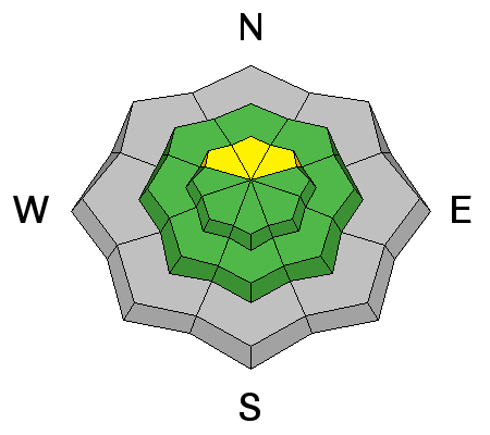
bottom line There is a MODERATE danger and storm snow avalanches are possible on any steep slope with significant fresh snow accumulation. Avoid wind drifted snow on smooth slopes with previous snow cover.
|
 |
special announcement We look forward to seeing you at our annual fundraiser party at the Italian Place in Logan on December 3... |
 |
current conditions I'm reading over two feet of new snow in the past 24 hours containing around 4 inches of water at the 8400' Tony Grove Snotel..There's 28 inches of total snow this morning with a temperature of 19 degrees. The new snow is sitting dirrectly on the rocks in most places since there wasn't any previously existing snow on the ground earlier in the week. Lack of snow on the ground previously is actually a good thing this time of year. Hopefully it'll pile up quickly and the snow be more solid than it was last year when early snow was subject to strong temperature gradients and became plagued by faceted snow. Travel on the Tony Grove road, which is not maintained for wheeled travel in the winter, was sketchy in a 4x4 yesterday and the road is likely to be impassable today up high with significant additional snowfall overnight.
|
 |
recent activity No avalanches were yet reported this season in the Logan Zone. Visit our Backcountry Observations Page for details on last season's activity.
|
| type | aspect/elevation | characteristics |
|---|

|
|
LIKELIHOOD
 LIKELY
UNLIKELY
SIZE
 LARGE
SMALL
TREND
 INCREASING DANGER
SAME
DECREASING DANGER
|
|
description
New snow avalanches are possible today in steep terrain. Heavy snowfall yesterday and overnight has created heightened avalanche conditions at upper elevations. Storm snow avalanches failing within the new snow or on Thursday night's interface are possible in steep terrain. |
| type | aspect/elevation | characteristics |
|---|

|

|
LIKELIHOOD
LIKELY
UNLIKELY
SIZE
LARGE
SMALL
TREND
INCREASING DANGER
SAME
DECREASING DANGER
|
|
description
Wind drifted heavy new snow on slopes with previous snow cover will continue to be the most suspect. Wind slab avalanches are possible, mainly in smooth areas with preexisting snow, especially in exposed upper elevation terrain.
|
 |
weather Check out our one-stop weather page........HERE |
| general announcements We are offering a free "Know Before You Go" avalanche awareness talk Saturday, November 22 at 2:00 at Buttar's Tractor in Tremonton. Utah Avalanche Center mobile app - Get your advisory on your iPhone along with great navigation and rescue tools. Remember your information can save lives. If you see anything we should know about, please participate in the creation of our own community avalanche advisory by submitting snow and avalanche conditions. You can also call us at 801-524-5304 or 800-662-4140, email by clicking HERE, or include #utavy in your tweet or Instagram. Follow us at UAClogan on Twitter This advisory is produced by the U.S.D.A. Forest Service, which is solely responsible for its content. It describes only general avalanche conditions and local variations always exist. |


_1.jpg)