
| During the month of April, Mark Miller will donate $75 to the charity of your choice (5 to chose from, including the Utah Avalanche Center!) Mark Miller Subaru has raised over $300k in the previous 6 Do Good Feel Good events. More Info here |  |
| During the month of April, Mark Miller will donate $75 to the charity of your choice (5 to chose from, including the Utah Avalanche Center!) Mark Miller Subaru has raised over $300k in the previous 6 Do Good Feel Good events. More Info here | |
| Advisory: Logan Area Mountains | Issued by Toby Weed for Friday - May 2, 2014 - 9:35am |
|---|

|
bottom line We are no longer issuing danger ratings, but dangerous wet avalanche conditions exist in the backcountry and will continue through the weekend. Natural loose wet avalanches entraining saturated fresh snow are likely in steep terrain, especially during the heat of the day. Avoid and stay out from under steep slopes with wet surface snow. With very warm temperatures expected this weekend, careful snowpack evaluation, cautious route-finding, and conservative decision making will be essential for safe travel in the backcountry.
|
 |
current conditions There's still very good snow coverage in the mountains around Logan, with filled-in avalanche paths from widespread natural avalanches in February and lingering mid-elevation snow allowing good access to quality spring riding. We're done for the season, but avalanches continue, and very warm temperatures will create dangerous wet avalanche conditions this weekend in steep upper elevation terrain. It's 41 degrees this morning up at the 8400' Tony Grove Lake Snotel, and there's 80 inches of total snow containing around 125% of average water for the date. It's 39 degrees at the 9700' CSI Logan Peak weather station, with southwest winds averaging around 20 mph.
A view of the Wellsville Range from across Cache Valley showing excellent coverage for this time of year. 4-30-2014 Watch a
|
 |
recent activity We received reports of numerous unintentionally triggered avalanches in the Central Wasatch in the last days of April, and a few people got caught and carried by soft wind slab avalanches involving fresh storm snow. Thankfully, no injuries were reported. In the Logan Zone- Observers reported a couple avalanches involving new snow instabilities during last weekend's stormy weather; a good sized natural cornice-fall triggered avalanche in a popular area in Providence Canyon on Saturday, and a long-running intentionally snow skater triggered soft slab on the north side of Mendon Peak in the Wellsville Mountain Wilderness on Sunday. Also, I could see evidence of fairly widespread recent natural loose wet activity in the Central Wellsville Range yesterday afternoon. Visit our Backcountry Observations Page for details on the season's activity.
|
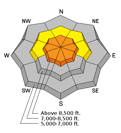
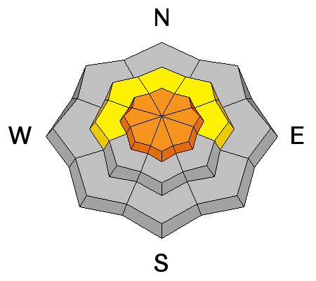
| type | aspect/elevation | characteristics |
|---|

|
|
LIKELIHOOD
 LIKELY
UNLIKELY
SIZE
 LARGE
SMALL
TREND
 INCREASING DANGER
SAME
DECREASING DANGER
|
|
description
As the fresh snow warms, it's becoming slushy and saturated, and loose wet avalanches entraining the fresh snow are likely in steep terrain, especially during the midday heat. Natural wet avalanches are likely this weekend, so you should stay off and out from under steep slopes with saturated surface snow. Especially avoid steep-sided gullies and steep slopes above trees, be aware of other potential terrain traps. |
 |
weather Check out our one-stop weather page........HERE |
| general announcements Utah Avalanche Center mobile app - Get your advisory on your iPhone along with great navigation and rescue tools. Remember your information can save lives. If you see anything we should know about, please participate in the creation of our own community avalanche advisory by submitting snow and avalanche conditions. You can also call us at 801-524-5304 or 800-662-4140, email by clicking HERE, or include #utavy in your tweet or Instagram. Follow us at UAClogan on Twitter We're done for the season, but will continue to review and post your observations, check phone messages, and monitor e-mails and tweets... Thanks for your support, and have a great Summer. This advisory is produced by the U.S.D.A. Forest Service, which is solely responsible for its content. It describes only general avalanche conditions and local variations always exist. |


_1.jpg)

 Video Observation from Coldwater Canyon in the Wellsville Mountain Wilderness, 4-24-2014........