| During the month of April, Mark Miller will donate $75 to the charity of your choice (5 to chose from, including the Utah Avalanche Center!) Mark Miller Subaru has raised over $300k in the previous 6 Do Good Feel Good events. More Info here |  |
| During the month of April, Mark Miller will donate $75 to the charity of your choice (5 to chose from, including the Utah Avalanche Center!) Mark Miller Subaru has raised over $300k in the previous 6 Do Good Feel Good events. More Info here | |
| Advisory: Logan Area Mountains | Issued by Toby Weed for Wednesday - November 27, 2013 - 6:46am |
|---|

|
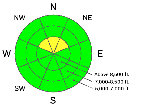
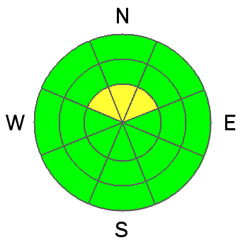
bottom line The snow is stable on most slopes and the danger is generally LOW ( or level 1) in the backcountry. Exceptions exist on drifted slopes at upper elevations, and there are areas with heightened avalanche conditions and a MODERATE (level 2) danger. Evaluate the snow and terrain carefully. You could trigger a hard wind slab avalanche in steep drifted upper elevation terrain. Being caught and carried in an avalanche could be nasty and dangerous due to very shallow snow and rocks in avalanche runout zones.
|
 |
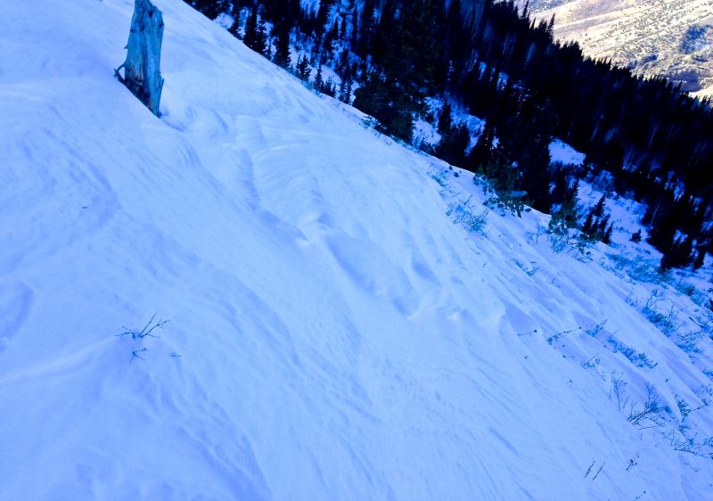
current conditions The Logan Peak weather station at 9700' reports 32 degrees and southwest wind currently averaging around 20 mph. The Tony Grove Snotel at 8400' reports 35 degrees, and 18 inches of total snow containing 4.3 inches of water equivalent, 83% of average water content for the date. You'll find a moonscape of sastrugi, rock hard drifts of varying depths, and slopes stripped bare of snow in any terrain that was exposed to last weekend's strong east winds. Sheltered and lower angled areas offer nice soft recrystallized snow on a shallow supportable base. Very shallow, early season snow conditions exist across the region. The Tony Grove Road is not maintained for wheeled travel in the winter, and the road is currently icy and treacherous. 4-wheel-drive vehicles and chains are recommended. It's important to check and continue practicing with your avalanche rescue equipment.
For more information on current conditions check out my observation from 11-26-2013 in Providence Canyon.......... HERE
|
 |
recent activity No avalanches were reported recently in the Logan Area. |
| type | aspect/elevation | characteristics |
|---|

|
|
LIKELIHOOD
 LIKELY
UNLIKELY
SIZE
 LARGE
SMALL
TREND
 INCREASING DANGER
SAME
DECREASING DANGER
|
|
description
Hard wind slab avalanches 1 to 2 feet deep, releasing on sugary or faceted old snow are possible in some areas today, especially on drifted smooth upper elevation slopes. The shallow old snow from the Halloween storms remained on upper elevation north facing slopes, and it has become very weak and faceted.. Sustained and very strong east wind scoured snow from exposed terrain and drifted it into lee slope avalanche stating zones and other terrain influenced deposition areas. You could trigger an old hard wind slab avalanche on a steep drifted slope today, especially in a very steep terrain feature like a gully or scoop that has old faceted snow as a basal layer.
|
 |
weather A high pressure system will remain in control the weather pattern and fair weather in the mountains will continue through most of the week. A weak system will slide across the southern part of the State beginning late Thursday night and through the weekend, bringing clouds and a chance of snow showers to the north. The Models advertise a change back to winter and the development of a more productive pattern early next week. Significant snowfall with a serious winter storm looks to be likely. Check out our one stop weather page........HERE |
| general announcements Our annual "Pray for Snow" fundraiser/party will happen the evening of December 5 at the Italian Place in downtown Logan, and you are invited, so save the date. Sign up early for one of our life-saving avalanche classes.......HERE And refresh your avalanche knowledge, check out some of our tutorials........HERE Follow us at UAClogan on Twitter I'll start issuing regular backcountry advisories in December. |


_1.jpg)