

Avalanche Advisory
| Advisory: Logan Area Mountains | Issued by Toby Weed for April 9, 2013 - 6:08am |
|---|


Above 8,500 ft.
7,000-8,500 ft.
5,000-7,000 ft.
|
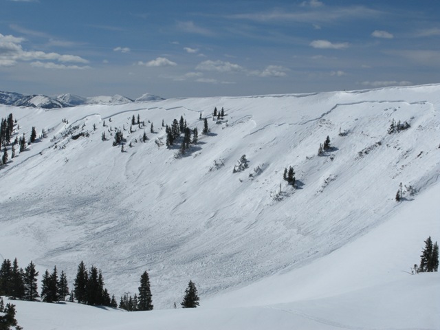
bottom line Dangerous avalanche conditions exist and there is a CONSIDERABLE (level 3) danger at upper and mid elevations in the backcountry. You are likely to trigger unmanageable wind slab avalanches on steep drifted slopes, and natural avalanches and large cornice falls are possible in many areaas. Soft slabs and entraining loose snow avalanches involving storm snow are also likely on slopes with a foot or more of new accumulation Careful snowpack evaluation, cautious route-finding, and conservative decision-making will be essential in the backcountry today.
|

 |
special announcement iPhone & iPad users: With help from Backcountry.com & Garafa, LLC, we now have a free mobile app that combines the best of the UAC advisories, observations, and weather summaries with National Weather Service products & UDOT road updates. This puts the tools you need for planning your day and your run in one handy mobile package. Check it out, tell your friends, and let us know what you think.http://utahavalanchecenter. |
 |
current conditions The Campbell Scientific Logan Peak weather station reports very strong easterly winds overnight, currently with northeast winds averaging 55 mph and gusts of close to 80 mph. It's only 4 degrees at the 9700' summit of Logan Peak. As of 6:00 yesterday evening, the Tony Grove Snotel at 8400' reported another several inches of new snow, containing 1.5 inches of water in the last 48 hrs, and more snow accumulated overnight. Remote weather stations at Beaver Mountain and Hwy 89 Logan Summit report significant accumulations, in the 1-and-a-half to 2-foot range. The storm spawned dangerous avalanche conditions in the backcountry, especially in drifted upper elevation terrain... |
 |
recent activity No new avalanches were reported recently in the Logan Area..... But, a very large natural heat related persistent slab avalanche occurred in the midday heat on Wednesday in the Western Uintas. Graig Gordon and Ted Scoggin of the Utah Avalanche Center visited the site Thursday and report something like a 3/4-mile wide and four-foot deep monster....
Here's a link to our updated Avalanche List.
|
Avalanche Problem 1over the next 24 hours
| type | aspect/elevation | characteristics |
|---|
 |
Above 8,500 ft.
7,000-8,500 ft.
5,000-7,000 ft.
|
|
|
description
With over a foot of heavy new snow and two inches of water equivalent before yesterday's storm, there was plenty of fresh snow for the strong east and northeast winds to drift around at upper elevations. Triggered wind slab avalanches in the 1 to 2+-foot-deep range are likely in drifted upper elevation terrain, and natural avalanche activity is possible. Watch for and avoid stiffer snow and fresh drifts on the lee of major ridges and in and around terrain features like sub-ridges, rock bands, and gullies. In very isolated places, the wind drifts could overload pockets of shallow weak snow, often near rocks, in upper elevation terrain, resulting in a deeper slide. Freshly built-up and greatly enlarged cornices are also a concern, as they may be hair-trigger sensitive today, might break further back than you expect, and could trigger significant wind slab or storm slab avalanches on slopes below. |

Avalanche Problem 2over the next 24 hours
| type | aspect/elevation | characteristics |
|---|
 |


Above 8,500 ft.
7,000-8,500 ft.
5,000-7,000 ft.
|
|
|
description
With new snow over the weekend containing 2 inches of snow water equivalent, as reported by the Tony Grove Snotel,and significant accumulations from yesterday and overnight, soft slabs and entraining point releases consisting of storm snow are likely in steep upper and mid-elevation terrain and possible even in areas that are generally sheltered. Any steep slope with a foot or more of freshly accumulated snow is suspect. |

 |
weather Snowy and windy weather will continue through today, with not much in the way of accumulation expected. High temperatures should reach the mid twenties and northeast winds will continue, gradually diminishing. Expect short-lived clearing and a bit of a warm-up as high pressure builds on Wednesday... Snow is likely again on Thursday, but not all that much, and it'll be sunny again on Friday, with gradual warming into the weekend. Check out the Logan Mountain Weather page...
|
| general annoucements For a printer friendly version of this advisory click HERE Remember your information from the backcountry can save lives. If you see or trigger an avalanche, or see anything else we should know about, please send us your snow and avalanche observations. You can also call us at 801-524-5304 or email by clicking HERE. In the Logan Area you can contact Toby Weed directly at 435-757-7578. I will update this advisory on Monday, Wednesday, Friday, and Saturday mornings by around 7:30... This advisory is produced by the U.S.D.A. Forest Service, which is solely responsible for its content. It describes only general avalanche conditions and local variations always exist. |