

Avalanche Advisory
| Advisory: Logan Area Mountains | Issued by Toby Weed for November 17, 2012 - 7:09am |
|---|


Above 8,500 ft.
7,000-8,500 ft.
5,000-7,000 ft.
|
bottom line There is a LOW danger in the backcountry, and avalanches are generally unlikely. You still might trigger shallow persistent slabs or wind slabs on steep north facing slopes in exposed upper elevation terrain. Continue to use safe travel protocols, check your avalanche rescue equipment, and find the time to practice avalanche rescue scenarios with your partners.... Expect the danger to rise with a pretty good shot of snowfall forecast for Sunday. Avalanches will be most possible at upper elevations and on northerly facing slopes, the very same slopes with the most snow cover currently.
|

 |
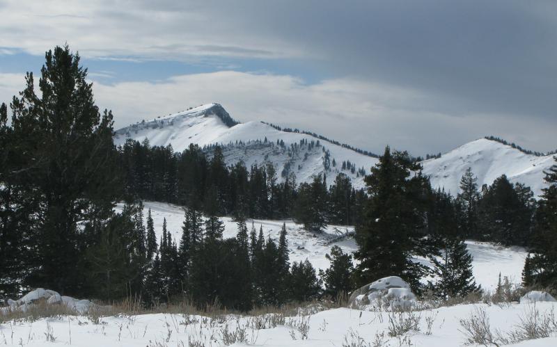
current conditions You'll find very shallow early season snow cover in the Logan Zone, with shallow settled powder conditions limited to a few north facing upper elevation slopes with smooth underlying ground. Keep the speed down and watch for shallowly buried rocks and stumps. It's still far too shallow for riding sleds in the backcountry. Be sure to check your batteries and the working condition of your rescue equipment, practice rescue scenarios with your partners, and always follow safe travel protocols.... Remember that upper elevation Forest roads including the Tony Grove Road are not maintained for winter travel and are likely to present winter driving challenges... Be sure you are prepared with shovels and other emergency supplies. The Tony Grove Snotel reports a a little more snow overnight, and there is 9 inches of total snow at the site. Southwest winds are averaging in the mid teens at the CSI Logan Peak weather station at 9700' where it is already 28 degrees. Snow in the forecast for tomorrow will likely create a rise in backcountry avalanche danger...
|
 |
recent activity
With very shallow early season snow, no avalanches have been reported yet in the Logan Area...... |
Avalanche Problem 1over the next 24 hours
| type | aspect/elevation | characteristics |
|---|
 |
Above 8,500 ft.
7,000-8,500 ft.
5,000-7,000 ft.
|
|
|
description
.Shallow wind slabs or persistent slabs exist in exposed terrain... These slabs may be sensitive to your weight on very steep slopes, and in some isolated cases could fail on weak underlying October snow near the ground. |

 |
weather
Expect another breezy, cloudy, and mild day in the backcountry, with a chance for a little more snow. A southwest flow aloft will keep temperatures mild in the mountains today. You'll find a southwest wind on the ridge tops, and a few snowflakes are possible this afternoon. A stronger wave of storminess will sweep through the area tomorrow bringing a good chance for several inches of accumulation. The National Weather Service is calling for 6 to 10 inches at upper elevations in the bear River Range. An unremarkable yet unsettled zonal weather pattern will continue through much of next week, bringing mild temperatures, periods of cloudiness, and some snow showers to us in far Northern Utah, and at least preventing the smoggy valley inversions from setting up.... |
| general annoucements Check out our new video showcasing last year's (2011-2012) documented backcountry avalanche activity.... https://vimeo.com/52907979 Come join us for our annual "Pray for Snow" fundraiser dinner and party November 29 at The Italian Place! In addition to live music and entertainment we have lots of donated items to raffle off including OR outerwear, Marker A/T bindings and a Voile Splitboard! Donate to your favorite non-profit –The Friends of the Utah Avalanche Center. The UAC depends on contributions from users like you to support our work. We are still in the process of transferring the pages and content from our old website to the new site, so be patient. We are also tweaking the look and design so you may notice some changes. When everything is finished, it should all be pretty cool. |