
Observation Date
2/18/2021
Observer Name
Greg Gagne
Region
Salt Lake » Mill Creek Canyon » Porter Fork » Main Porter
Location Name or Route
Main Porter Fork
Comments
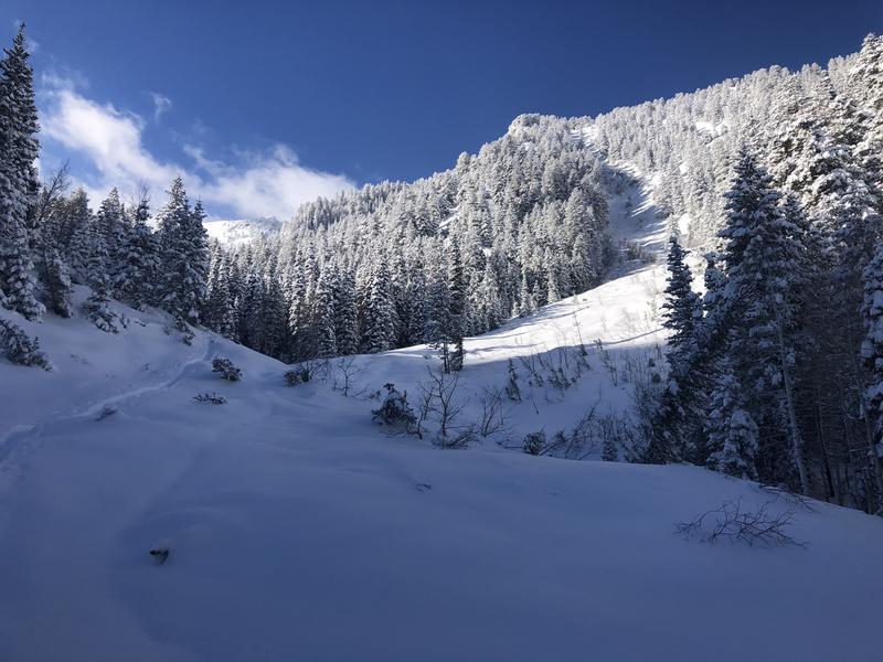
Went back into Main Porter today after witnessing a very large natural avalanche on Tuesday that ran on the backside of Raymond Slabs down into Main Porter. Mostly today was hoping to get a glimpse of larger slides, but most of the crowns and bed surfaces have since filled in. Two smaller natural avalanches had also occurred, likely on Wednesday. These were both ~75' wide, but buried the summer trail (and normal ascent into upper Main Porter) under nearly a meter of debris. These were at 8,200 on a north aspect. Likely new snow only, originating in steep trees above.
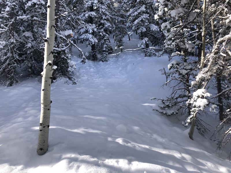
Today's field work mostly consisted of viewing recent avalanches and getting an idea of the depth of the settled storm snow on top of the facets. I dug no detailed pits as it's still too early to begin any meaningful assessment of the strength of the slab on top of the buried facets and depth hoar, but that will begin soon.
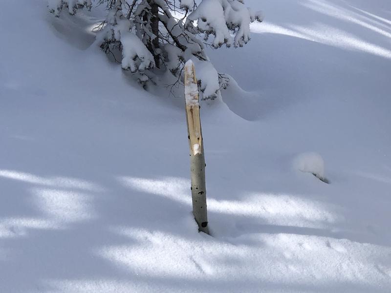
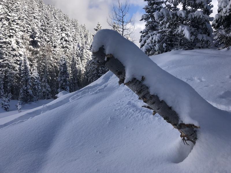
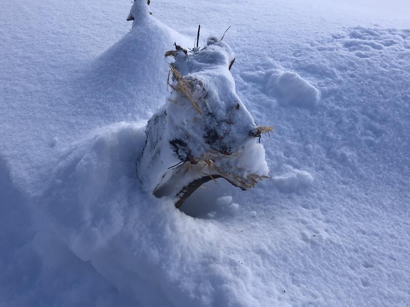
Few additional photos of snapped trees, and the large runout of the In Between slide path (first reported by Adam Blanchard)
I traveled today under the protocol for High danger - avoiding avalanche terrain altogether. Things will begin stabilize after this significant storm cycle, but it is still too early to get on or below steep slopes where there is a persistent weak layer present.
Today's Observed Danger Rating
High
Tomorrows Estimated Danger Rating
Considerable


