
Observer Name
P Diegel, C Gregerson
Observation Date
Sunday, February 14, 2021
Avalanche Date
Sunday, February 14, 2021
Region
Salt Lake » Mill Creek Canyon » Porter Fork » West Porter
Location Name or Route
West Porter Fork
Elevation
9,500'
Trigger
Natural
Avalanche Type
Hard Slab
Avalanche Problem
Persistent Weak Layer
Weak Layer
Depth Hoar
Depth
3'
Width
3,500'
Vertical
1,000'
Comments
Forecaster notes: We recieved multiple submissions of this avalanche - they have both been combined here.
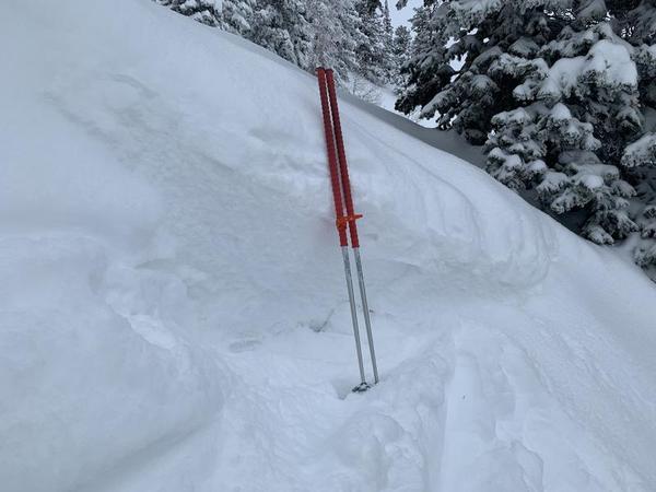
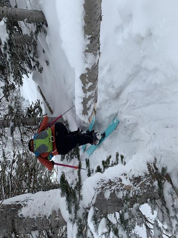
Most of W Porter Fk slid overnight. There was about 4 inches of fresh snow on the debris at 8 am. There were a wide assortment of crowns, with depths ranging from 1 to about 4 ft and massive amounts of debris in the main section of the run. Aspects ranged from NW to N to NE. Debris was piled up down to nearly the thick aspens where the slope flattens. Many tracks from yesterday were covered and much of the popular run was bed surface now under 4 inches of fresh snow. There were numerous fir trees broken off, up to about 8 inches in diameter. The traditional skin track was hit in a few places and some of the paths were repeaters from earlier in the season. There was still some hang fire and we had no inclination to climb up to look at the starting zones. Our travel also took us to the area approaching Mt Raymond, below Raymond Glade, and we saw evidence of a large slide that appeared to come from the NW side of Mt Raymond, past the bottom of Piece of Pie, with debris reaching to the flat at the bottom of the small fir trees at about 8600 ft on the approach to Mt Raymond from the Main Porter Fork trail. It was noteworthy that there was evidence of a lot of skier traffic on Saturday. Since most of the popular skiable terrain was overun by the avalanche(s), it's a safe assumption that we dodged a bullet yesterday - waiting until late at night to slide was a stroke of good luck.
(A. Bellomy):
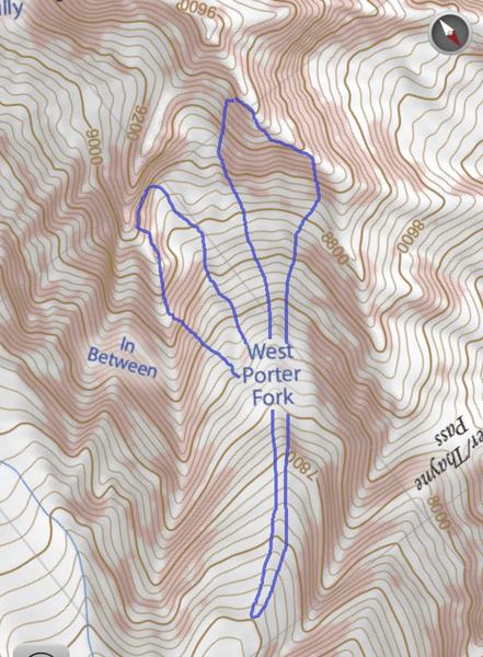
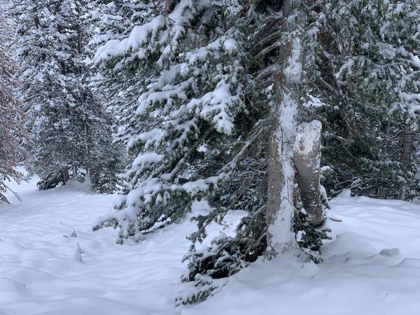
Two very large natural avalanches along the headwall of West Porter Fork. The debris ran for approximately 1,800 vertical feet and 3/4 of a mile in distance. Dozens of ski tracks from the previous days and a few sections of the previous skin track were covered in debris. Trees up to 12" thick were snapped in half and scattered throughout the debris. The only portion of the headwall that did not avalanche in this cycle had previously slid naturally about two weeks ago.
There was about 5" inches of new snow on the debris which leads me to believe that it ran yesterday afternoon or early evening when the PI increased. There were various crown lines. Some that were 2.5-3.5 ft deep and a few places where it stepped all the way to the ground.
Note: I don't want to get on too much of a soap box, but this was a real eye opener for me. West Porter has grown in popularity over the last few years and a lot of people treat it as if it is a safe place to ski on higher avy danger days (myself included, admittedly). It is understandable because the main ski line is a very low angle and there are thick trees between the headwall and the main ski line. However, the reality is that West Porter has SIGNIFICANT overhead hazard from the surrounding headwall. Once you are above 8,200 feet you are exposed on three sides to a potential avalanche from above that can run through the trees and hit you on the skin track or ski lines. This is not a place I would recommend skiing on days of considerable or high avalanche danger.


Coordinates


