Travel was Guardsman Road to 10,420'. Although there were several folks traveling on skis, coverage is too thin for me and I traveled on foot.
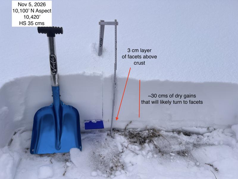
As you get close to 10,000', the snowpack becomes somewhat deeper, with dry grains of snow that will likely facet over the upcoming period of high pressure. The weakest snow I was finding was a layer of faceted snow that just above a crust down near the ground. This crust - and the faceted layer above it - is now capped by 10-20 cms of settled storm snow from the 11/1 storm.
Photos:
- Snowpack on north aspect at 10,000'
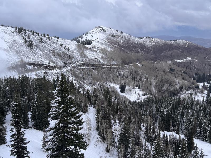
- looking towards the Park City mountains above Guardsman pass
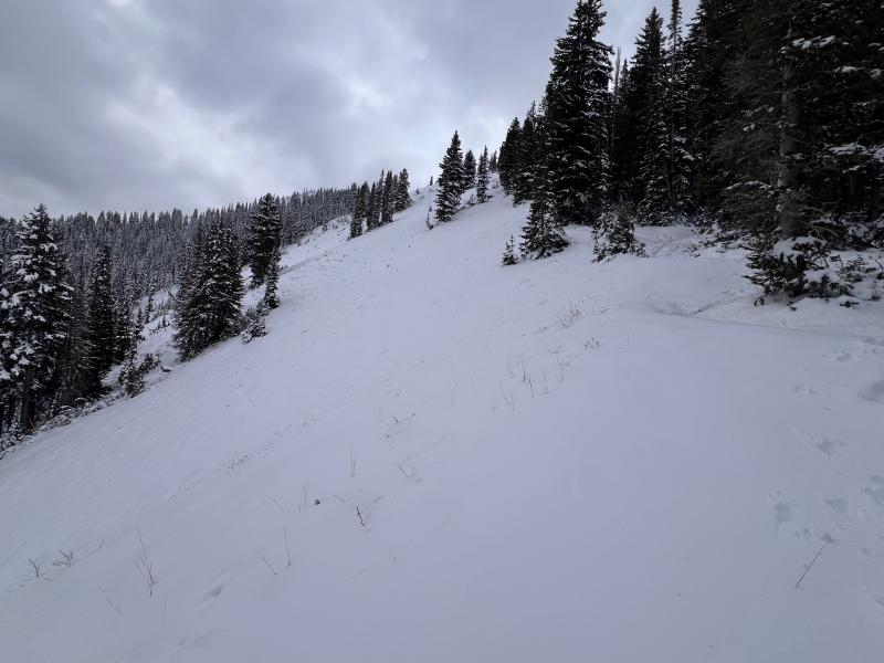
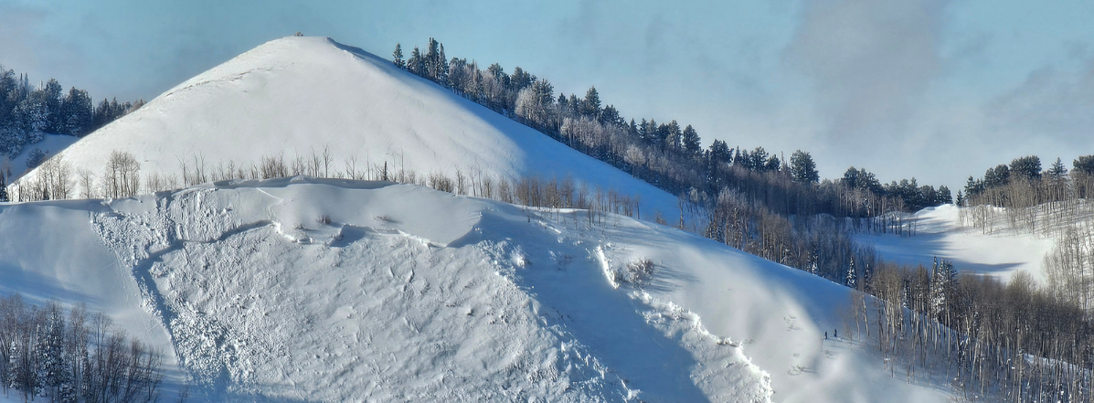
- the northeast aspect of 10,420'
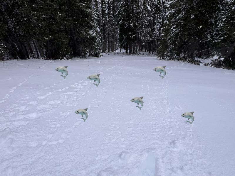
- coverage on the north ridge of 10,420' showing how the recent snowfall is disguising the "sharks" that Brooke and Nikki mentioned from their 11/4 observation along the Park City Ridgeline.