Observation: Scotts Backdoor

Observation Date
11/4/2026
Observer Name
Champion & Maushund
Region
Salt Lake » Park City Ridgeline » Scotts Backdoor
Location Name or Route
Scotts Backdoor
Weather
Sky
Overcast
Precipitation
Light Snowfall
Wind Direction
Northwest
Wind Speed
Light
Weather Comments
Skies were generally overcast, with light snowfall beginning around 10 a.m. but no measurable precipitation. Snow transitioned to rain at around 7,600' in the canyon. Winds remained light throughout the day, and we saw no signs of wind-drifted snow where we traveled.
Snow Characteristics
New Snow Depth
3"
New Snow Density
Medium
Snow Surface Conditions
Faceted Loose
Snow Characteristics Comments

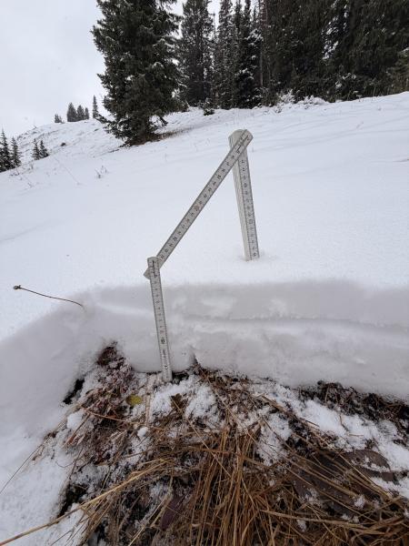
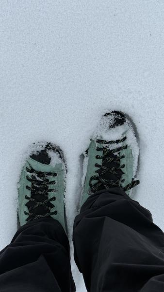
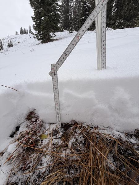
The overall snowpack along the Park City Ridgeline is shallow, ranging from 3 to 25 cm in the areas we traveled. The top 8 cm was new snow, largely made up of faceted precipitation particles. Surface hoar was present in protected areas; elsewhere, the surface was just facets. At about 10 cm, we found a more supportive crust, with facets below it. Overall, the snowpack was loose and unconsolidated. We got no shears on the crust, only at the ground.

See photo of the faceted snow surface below.

Multiple photos of the shallow snowpit on NE Aspect at 9400' along the Park City Ridgeline below.

Comments

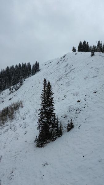
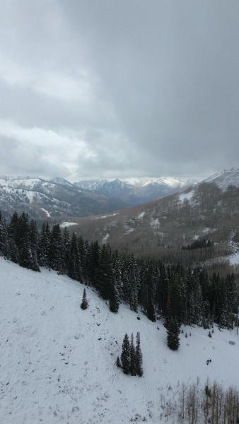
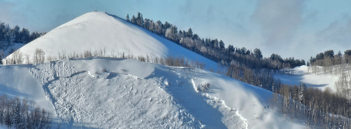
The goal of the day was to get eyes on the Park City Ridgeline and an idea of coverage on different aspects. Northerly aspects are holding significantly more snow, while southerly aspects are shallow, brushy, or bare dirt. See coverage photos from flying along the Park City Ridgeline below.

Our primary concern going forward is which of the current snow survives, since it will become the foundation of this season’s snowpack. With cold, clear nights, the shallow snowpack will likely continue to facet. Heading into the next storm, it will be important to track where this old snow remains.
Video
Today's Observed Danger Rating
None
Tomorrows Estimated Danger Rating
None
Coordinates