Observation: Georges Bowl

Observation Date
2/12/2026
Observer Name
Torrey & Davis
Region
Salt Lake » Big Cottonwood Canyon » Cardiff Fork » Georges Bowl
Location Name or Route
Cardiff Fork
Weather
Sky
Broken
Precipitation
Light Snowfall
Wind Speed
Calm
Weather Comments
Broken skies with sunshine late morning gave way to light snow showers around 1:00 PM. Light winds.
Snow Characteristics
New Snow Depth
6"
New Snow Density
Medium
Snow Surface Conditions
Powder
Damp
Snow Characteristics Comments

4-5 inches of wet snow below ~8000 feet. Snow transitions to cold and dry, medium-dense snow above 8500 feet. 8-12 inches of storm snow at 10,000 feet. Bottom feeding and feeling breakable crusts below storm snow on steeper slopes. Fast and smooth riding on lower-angle slopes in the dense snow.

Red Flags
Red Flags
Cracking
Collapsing
Poor Snowpack Structure
Red Flags Comments
Less sensitive yesterday than today but still experienced cracking and collapsing. Wet snow problem potential below 8500 feet.
Avalanche Problem #1
Problem
Wind Drifted Snow
Problem #1 Comments

Winds were less influential today than yesterday, and we did not observe signs of wind transporting snow. However yesterdays wind-drifted slabs remained sensitive. We were able to trigger a small pocket of wind-drifted snow on a steep cross-loaded feature that broke on facets. The slab was thin, only 4-8 inches, and 4-finger hard.

Comments

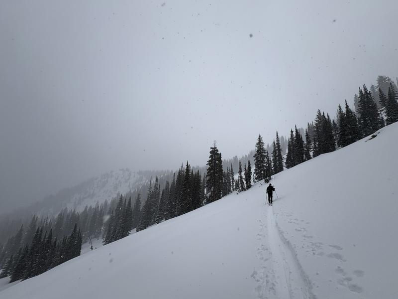
Over the last two days, I targeted mid and. upper elevation East aspects. Yesterday, near West Willow Ridge, I found a thick melt-freeze crust under new snow with no underlying facets (Observation HERE).

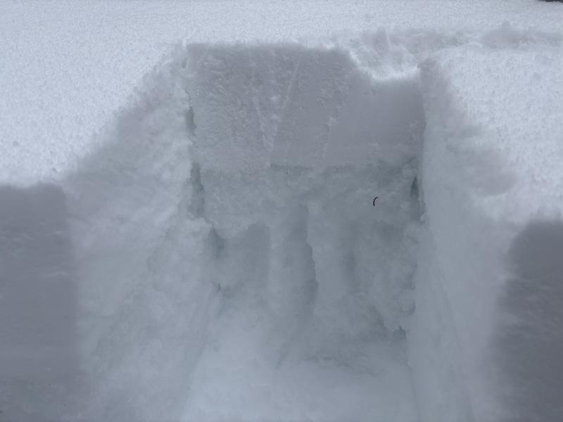
Today, conditions varied significantly. On a 98° (ESE) aspect, I found a 2-5cm crust capping weak facets. Notably, this pit contained hard percolation columns, yet the surrounding snow remained F-hard, 2mm angular facets rather than refrozen melt forms.

Elsewhere on East aspects, the most common structure was new snow over a thin (1-2cm) crust sitting on weak F-hard faceted snow, 2mm angular facets.

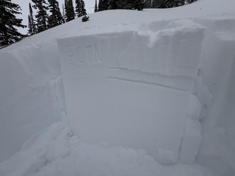
On a northeast-facing slope at 9903 feet I performed an ECT to test the propagation propensity of the new snow atop the layer of facets. In this location I had two, non-propagating failures. This continues to point to the fact that additional snow (either in the form of more snowfall, or wind loading) is needed to activate the Persistent Weak Layer of faceted snow. Higher snow totals have been recorded closer to Brighton and Deer Valley as well as further south in the Provo Forecast zone.

Today's Observed Danger Rating
Moderate
Coordinates