


Forecast for the Uintas Area Mountains

Issued by Joey Manship on
Thursday morning, April 10, 2025
Thursday morning, April 10, 2025
Today’s avalanche danger is generally LOW and human-triggered avalanches are UNLIKELY. As temperatures rise throughout the day, watch out for wet avalanches in steep terrain that faces the sun.
As we continue into spring, stay wary of cornices, as they tend to break naturally when temperatures rise.
This forecast was read and approved by Craig Gordon.

Low
Moderate
Considerable
High
Extreme
Learn how to read the forecast here
 Special Announcements
With a full Pink Moon overhead, this Sunday, April 13th will be the last of our regularly scheduled avalanche forecasts.
Motorized Users—Please consider taking this 5-minute survey to help researchers better understand avalanche education participation and safety preparedness. Responses are anonymous and confidential.
 Weather and Snow
Nowcast: Under clear skies, light winds blow from the northwest in the 15-20MPH range at upper elevations, with generally calm conditions down low. Overnight, temperatures dipped down into the low 30’s and upper 20’s, giving us a short, but solid refreeze.
Forecast: Today, expect another warm, beautiful spring day. Temperatures rise into the mid 40’s, light winds shift to the southwest, ahead of building afternoon clouds.
Futurecast: Above normal temperatures will continue until Saturday when a dry, cool front moves through, bringing clouds and normal springtime temperatures. After that, things look high, dry, and mellow.
Travel and Riding Conditions: Utah spring riding conditions are in full swing, with some supportable fast corn to be had in the morning, before things get toasty. Due to warm temperatures today, this window will be a bit earlier. High elevation north facing slopes offer limited swaths of cold, chalky snow.
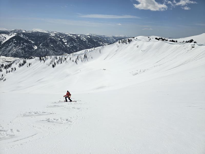
Craig nailing some spring turns. Yesterday, we found great snow between, 11:00am and 1:00pm, on south facing slopes.
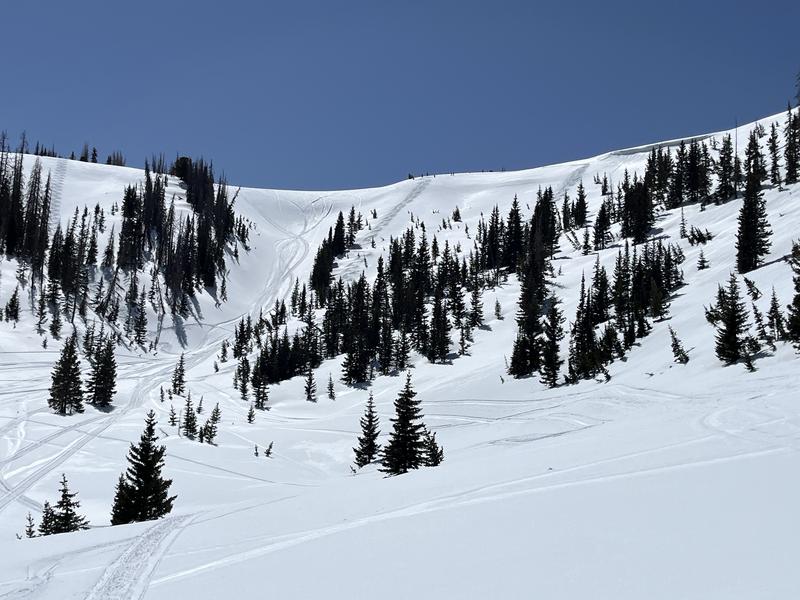
Cold, wind textured snow found on a due north slope.
 Recent Avalanches
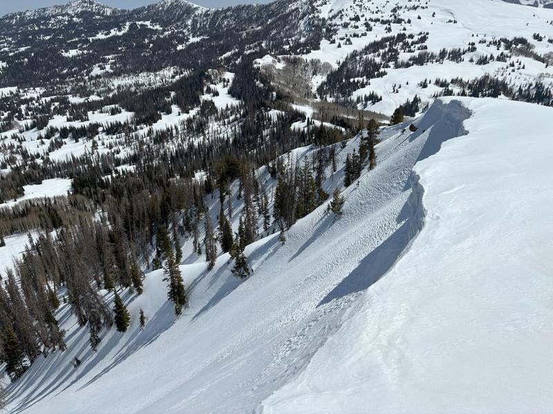
No avalanches have been reported in the last couple of days. In our travels we did see some large cornices that have fallen, or are ready to calve off.
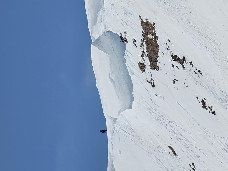
Andy, perched next to a large cornice.

Avalanche Problem #1
Normal Caution
Type
Location

Likelihood
Size
Description
The Uintas are a big mountain range and in the springtime, there can be variable and changing conditions. If you are going to encounter an avalanche it would be in extreme terrain. Here are some things to look out for and think about before moving into big terrain:
- Wet loose avalanches, in steep, south-facing terrain are possible, especially later in the day when the sun is doing its damage. A wet slide might not be enough to bury you, but could still ruin your day in the consequential terrain.
- Cornices. With multiple days of very warm, above average, late spring-like temperatures on tap, cornices will start to separate and break away. These schoolbus size pieces of snow are unpredictable, so I just avoid being underneath them for any sustained period of time.
- Good travel practices. Although large avalanches are not of major concern right now, still practice exposing one person to hazard at a time–whether we’re hill climbing, skiing steep, firm snow, or stepping into consequential terrain. That way if something goes wrong, the rest of your crew can help out.
- Get in, and out early. You know how the saying goes– nothing good happens after 3pm, or something like that. With warm temperatures, snow loses a lot of its supportability later in the day. So from a wet avalanche and ease of travel perspective, getting out of the mountains early is often a good call.
From the northern front, Teg Scroggin reported he was still able to find some “quasi dry snow on the north half of the compass.”
Additional Information
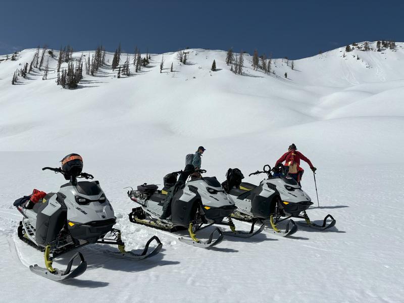
A huge shout out to Ski-Doo for getting us out into the hills to help us complete our work, and do a little product testing on the way! The Uinta's are a remote range, and snow machine is nearly the only way to get around. We could not do it without their support, machines, and stoke in our work and mission at the UAC -- You rock, Ski-Doo!
General Announcements
We are always looking for snow and avalanche observations or just general riding conditions. In the meantime reach out to us with questions, concerns, or if you see anything in your travels! Contact us directly through the info below:
- Craig Gordon [email protected] 801-231-2170.
- Andrew Nassetta [email protected] 860-460-8142.
This forecast is from the U.S.D.A. Forest Service, which is solely responsible for its content. This forecast describes general avalanche conditions and local variations always occur. This forecast was issued on Thursday, April 10th at 03:00 AM and expires 24 hours after it was issued.