With a full Pink Moon overhead, this Sunday, April 13th will be the last of our regularly scheduled avalanche forecasts.
Motorized Users—Please consider taking
this 5-minute survey to help researchers better understand avalanche education participation and safety preparedness. Responses are anonymous and confidential.
Nowcast: Clear skies and mild temperatures kick-off the morning. The range lacked a solid freeze last night and upper elevations hover around the mid 30's and lower elevations closer to 40℉. A warm south wind takes any coolness from the air, blowing lightly around 5-10 MPH with gusts into the teens.
Forecast: It's going to get steamy under the magnifying glass today, and temperatures could reach the mid-50's at their hottest. Light winds will continue from the south with a touch of southeast at times, and veer clockwise shifting to the north, blowing lightly around 10 MPH.
Futurecast: Things stay warm for the remainder of the week with a cool down on tap for this weekend. No significant storms are in the hopper, but the weekend should shape up nicely for spring riding.
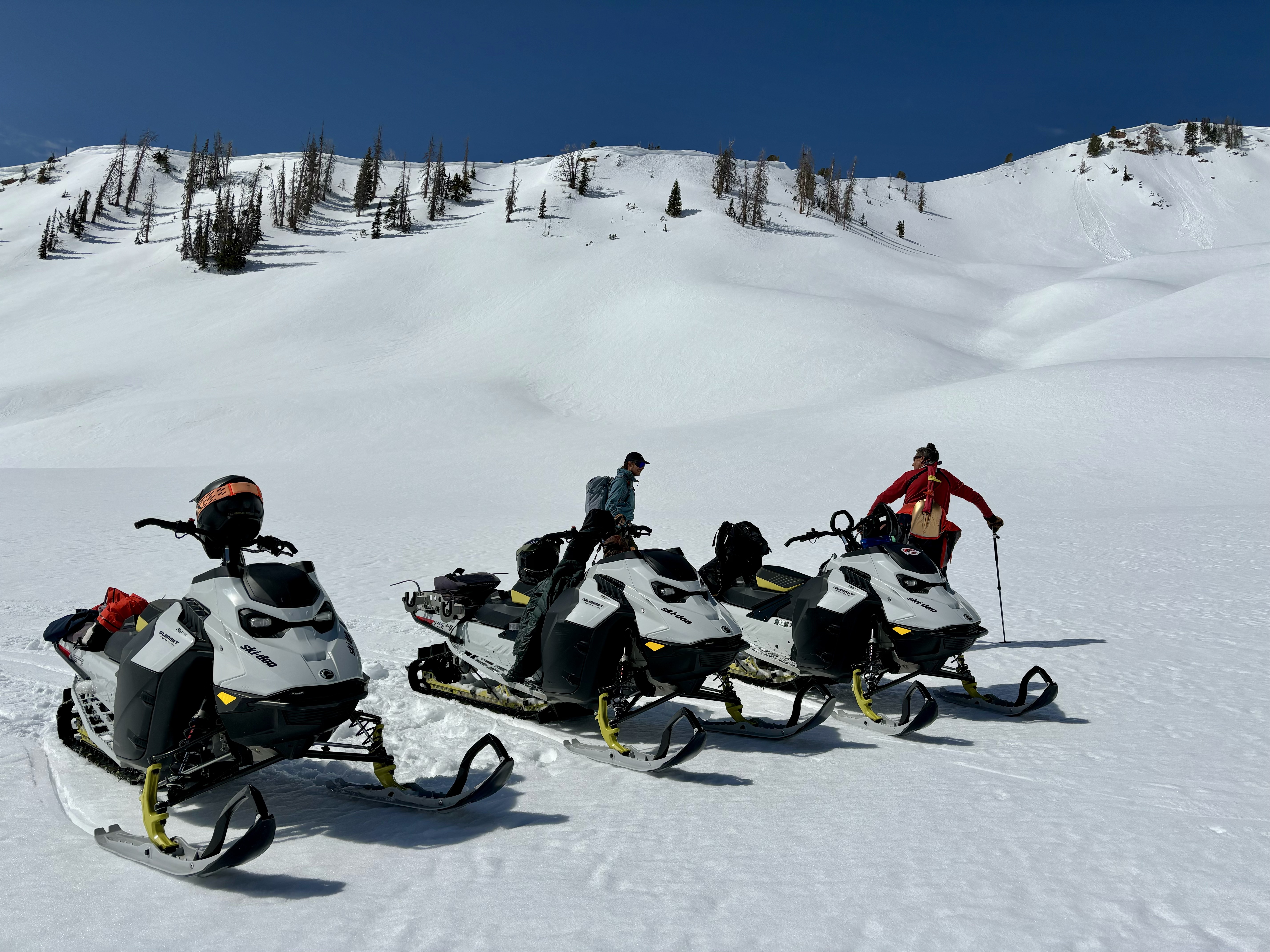
Travel and Riding Conditions: The pack has been getting hit hard, and without a solid refreeze last night I expect things to take a pretty good hit today. That being said, there is supportable riding out there on southerlies, but it may be short lived today. Switch aspects to high north terrain above 10k' to find solid, chalky and edgeable snow on both your skis and sled. Spring is a great time to work on your snowcraft -- Work your elevation bands, shift aspects and you'll be sure to find what your looking for.
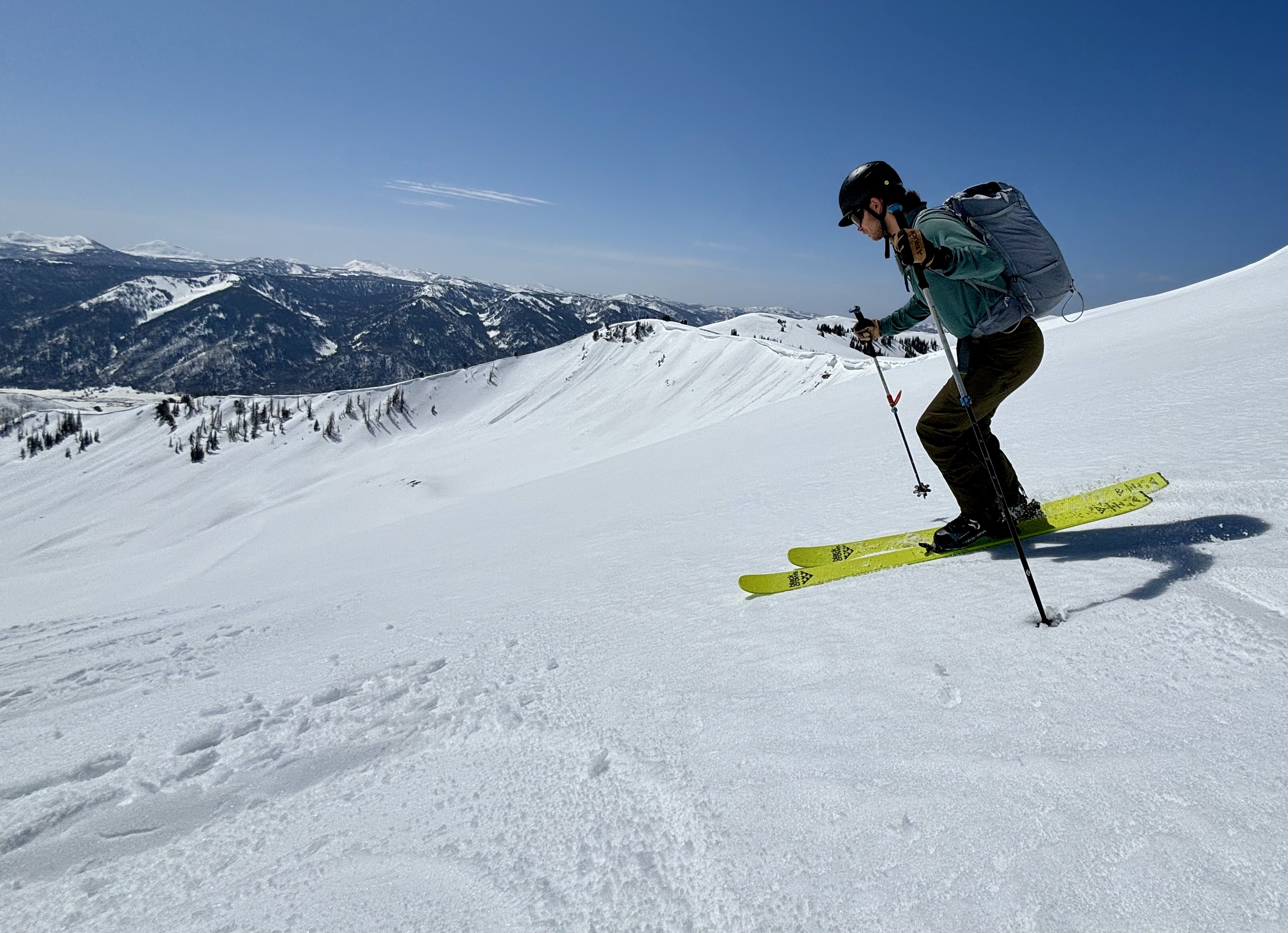
Joseph in harvest mode, working a southeast aspect at 10,500' early in the morning where stellar turning conditions were had. I expect the corn window to be short lived today.
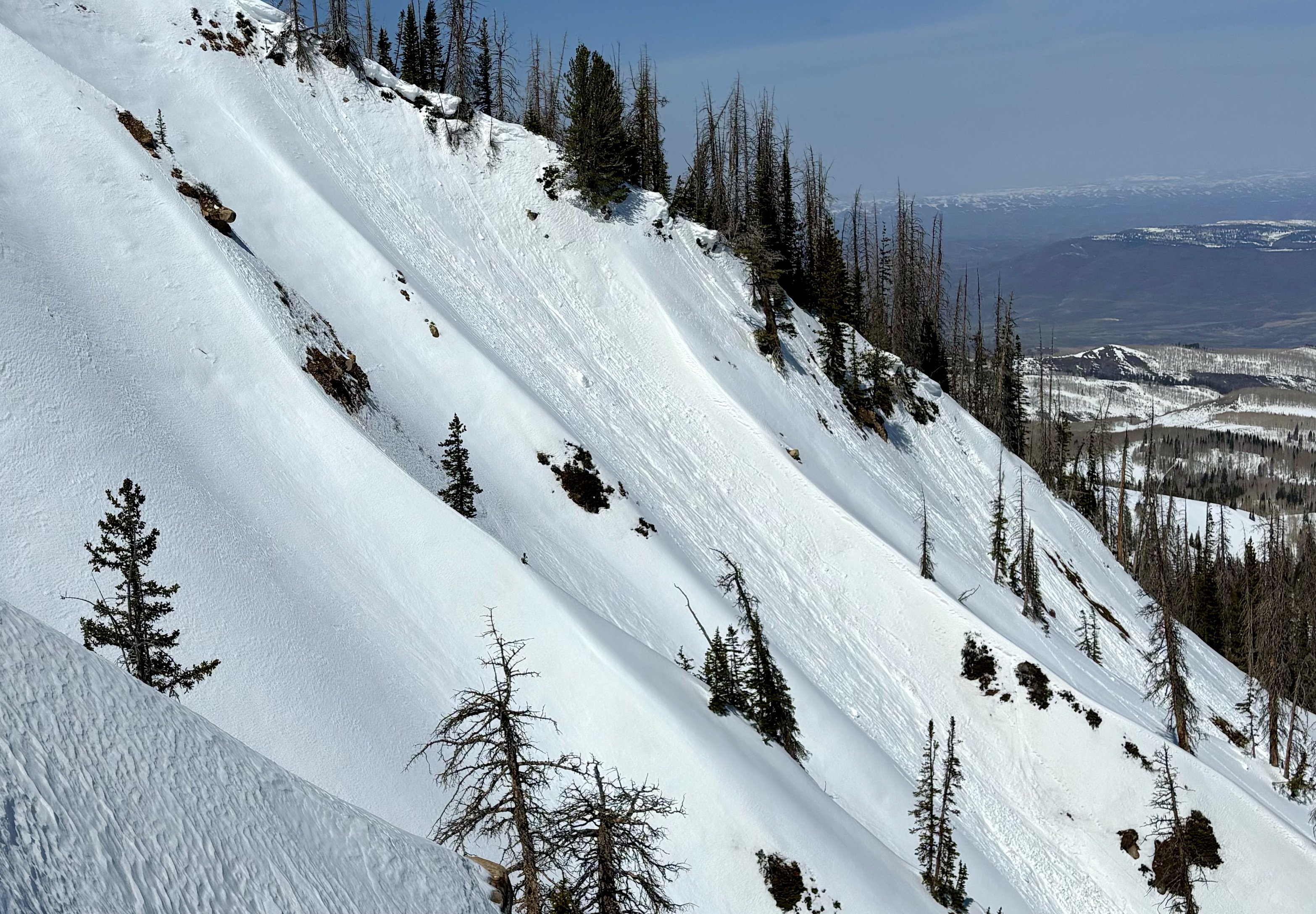
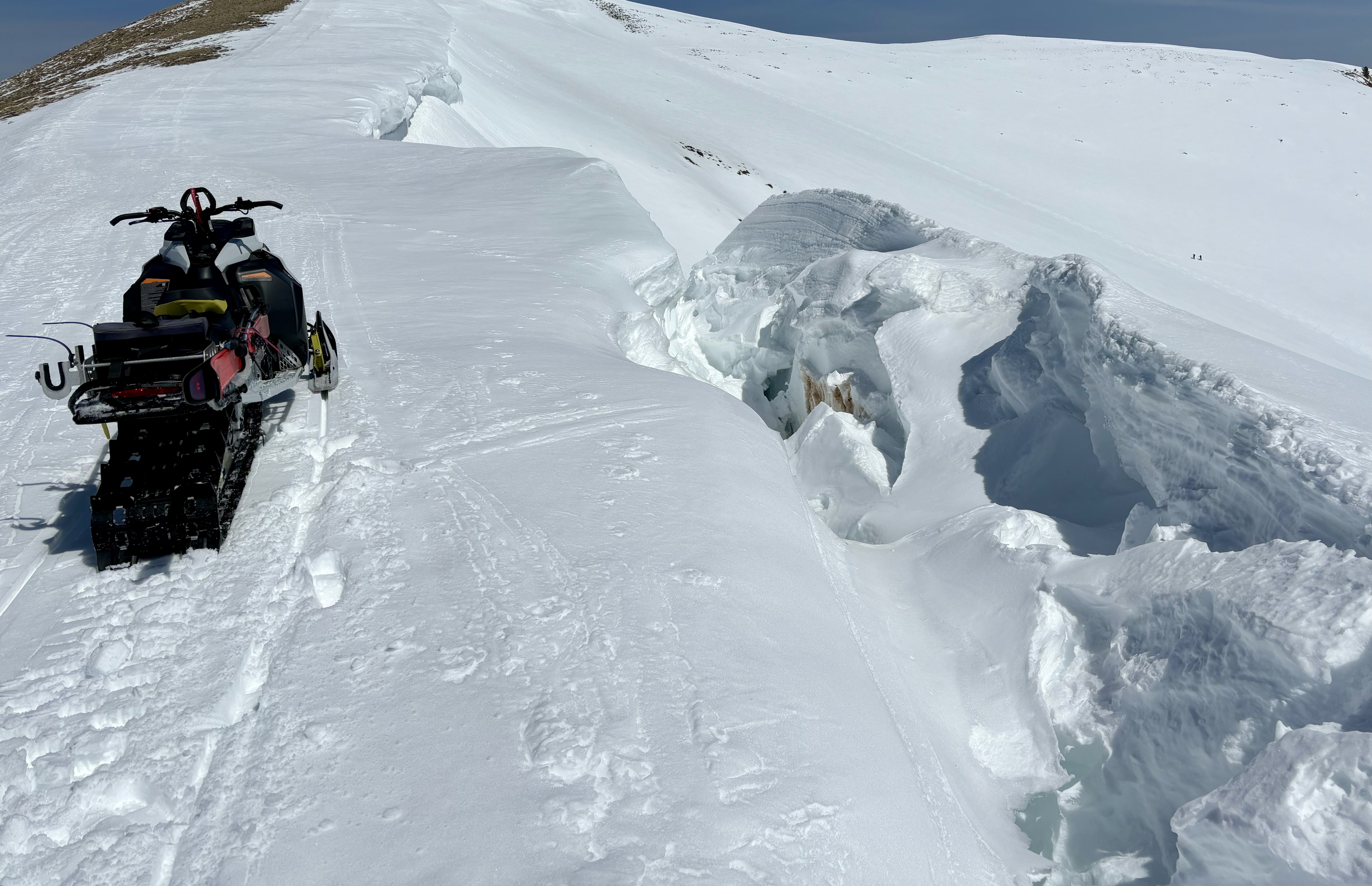
No avalanches have been reported in the past 24 hours, though throughout the range a variety of wet-loose avalanches and failing cornices can be seen. Check out all travel obs, avalanches and more from the range and across the state,
here!
Northeast and east aspects at 10,650' displaying signs of warming and wet snow activity.