With a full Pink Moon overhead, this Sunday, April 13th will be the last of our regularly scheduled avalanche forecasts. Moving forward, we will issue updates when necessary and publish public observations until May 1.
Motorized Users—Please consider taking
this 5-minute survey to help researchers better understand avalanche education participation and safety preparedness. Responses are anonymous and confidential.
Nowcast: Southwest winds bumped into the 30's and 40's overnight, as high pressure shifts east of our region. A nearly full, Pink Moon peaks through high clouds streaming into the Uinta zone this morning. Temperatures are downright balmy, registering in the low 40's near the high peaks and bending the mercury to the upper 40's near the trailheads.
Forecast: Expect partly cloudy skies and strong southwest winds blowing in the 30's, gusting into the 50's near the high peaks. Temperatures soar into the 50's before crashing into the mid 20's overnight as a cold, but mostly dry front slides through northern Utah.
Futurecast: The dust settles for Sunday morning service and we can expect mostly sunny skies, calm winds, and more seasonal temperatures topping off in the mid and upper 30's. The upcoming week looks spectacular.
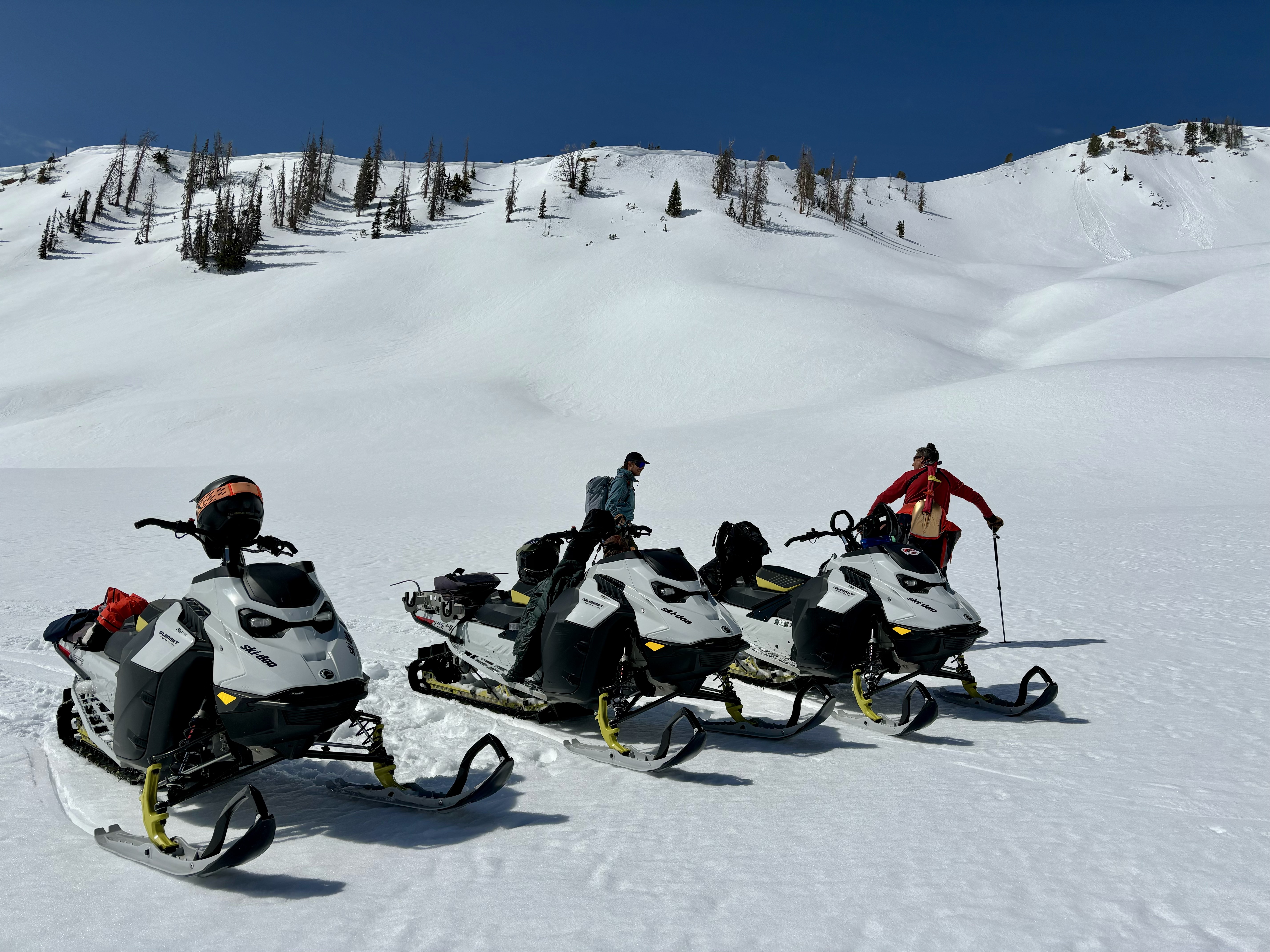
Travel and Riding Conditions: It'll be a good day to knock out chores at home as supportable riding conditions are gonna be short lived today. But if you do get out and about, Spring is a great time to hone your snowcraft -- work elevation bands, shift aspects, or just do a little snow homework and test your theories.
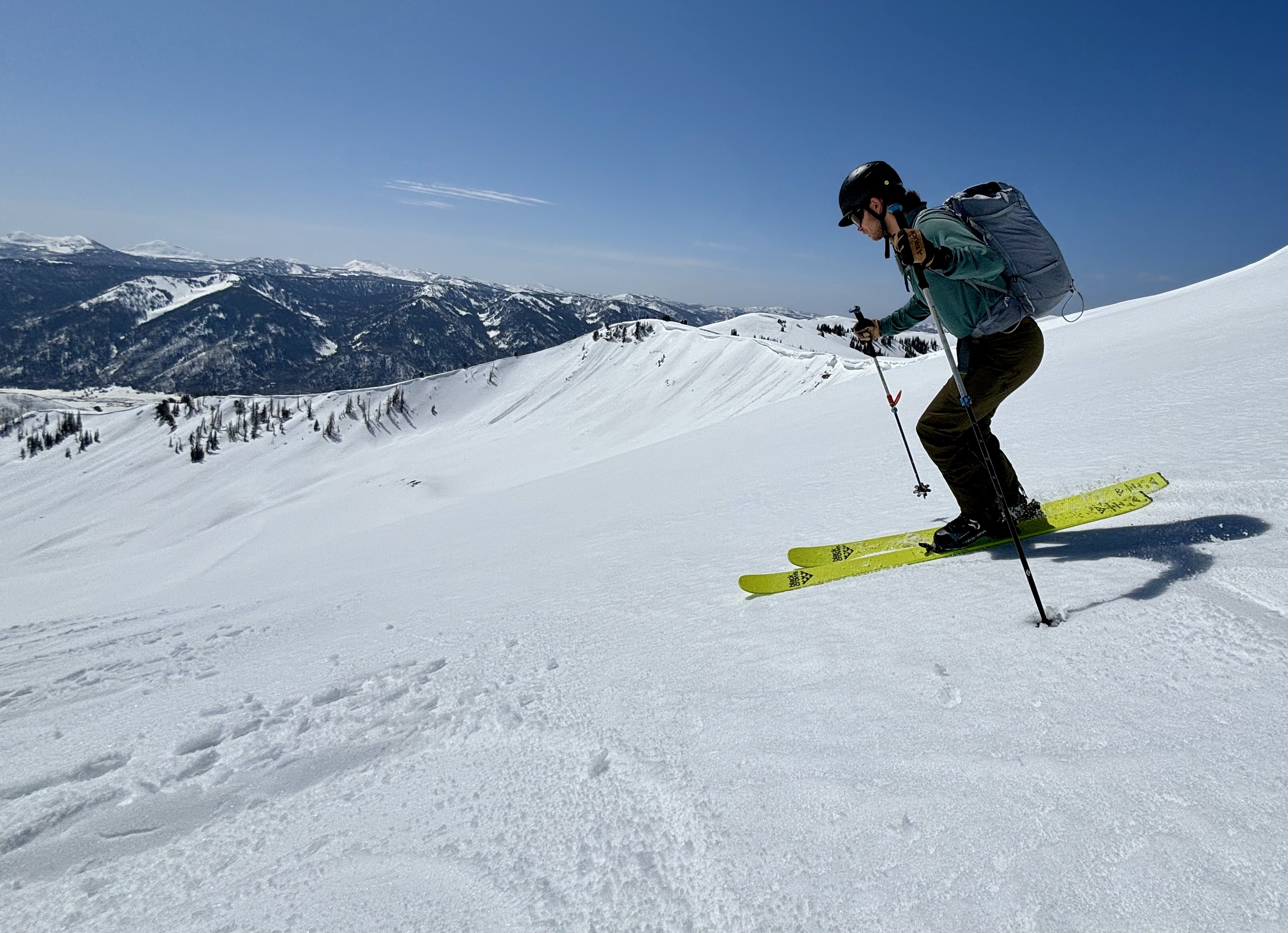
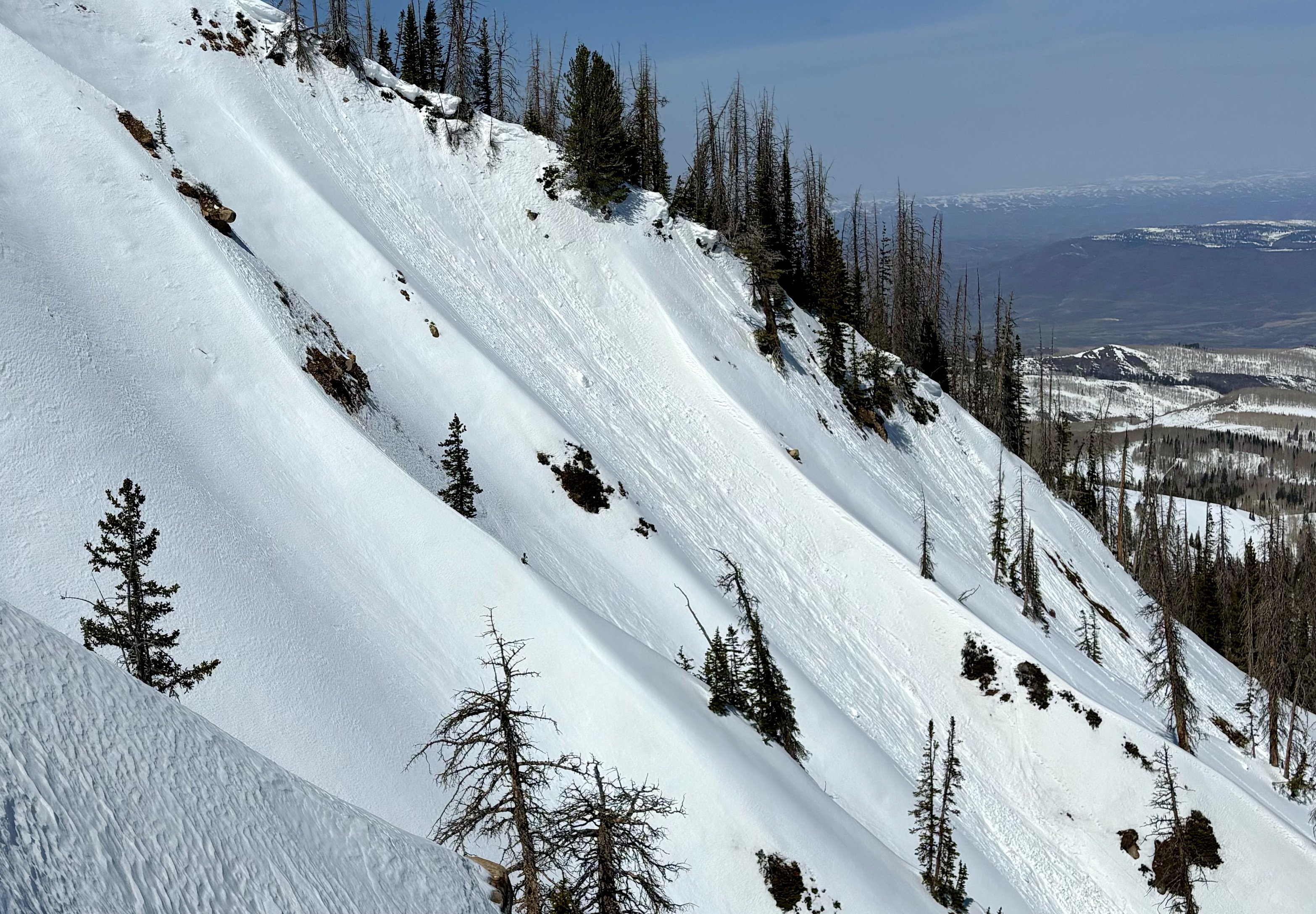
Joseph in harvest mode, working a southeast aspect at 10,500' early in the morning where stellar turning conditions were had. I expect the corn window to be short lived today.
No avalanches have been reported in the past 24 hours, though throughout the range a variety of wet-loose avalanches and failing cornices can be seen. Check out all travel obs, avalanches, and more from the eastern front and across the state,
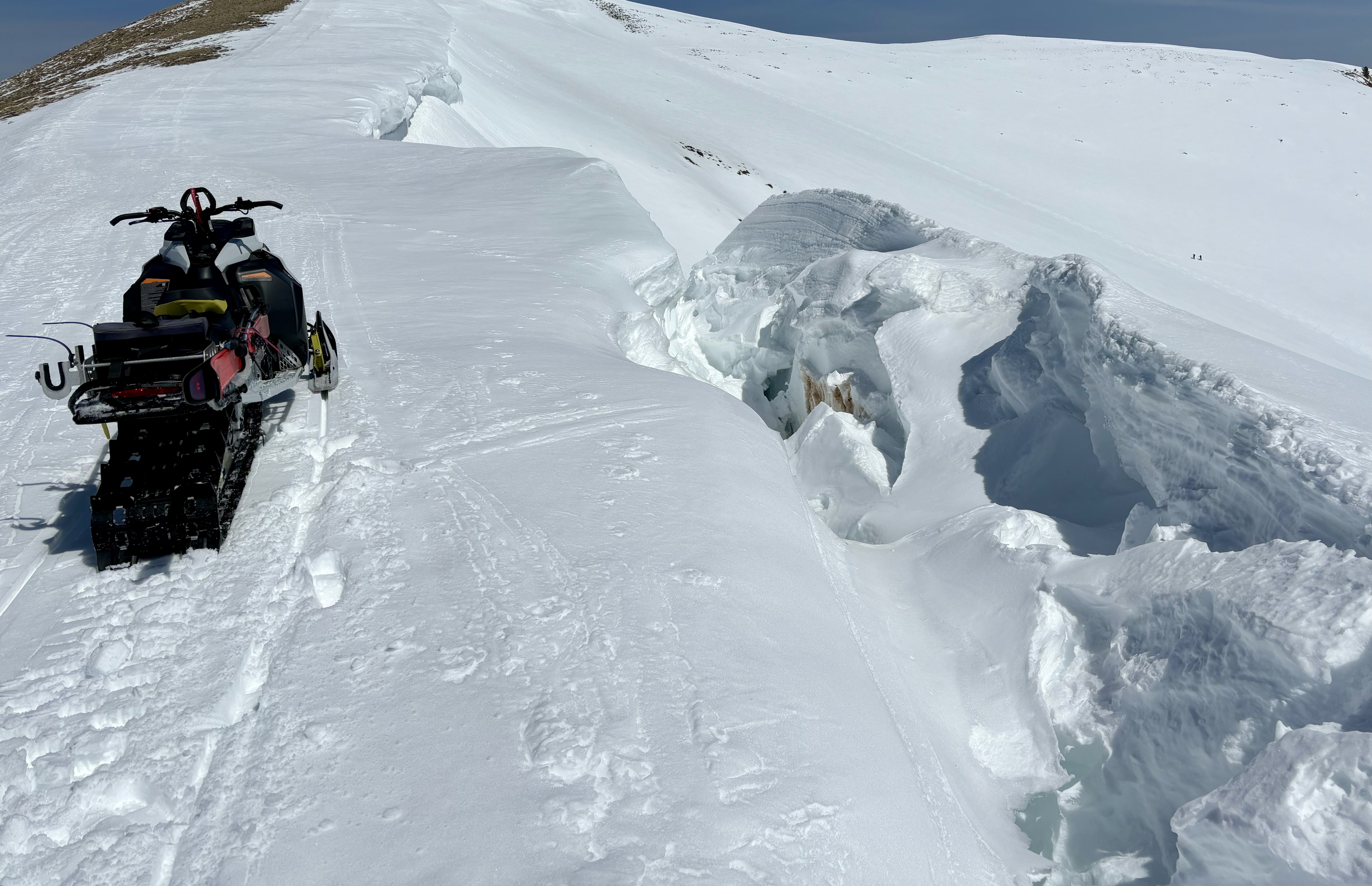
here!Northeast and east aspects at 10,650' displaying signs of warming and wet snow activity.