


Forecast for the Skyline Area Mountains

Issued by Brett Kobernik on
Thursday morning, April 10, 2025
Thursday morning, April 10, 2025
The danger of wet snow avalanches is increasing a bit with continued warming.
The easy way to stay out of trouble is to avoid being on or below steep slopes during the heat of the day.
Red flags are overly wet and sloppy snow and punching deep into unconsolidated wet snow.

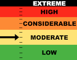
Low
Moderate
Considerable
High
Extreme
Learn how to read the forecast here
 Weather and Snow
Current Conditions: Temperatures made it into the 50s on Wednesday and for the third night in a row only cooled into the upper 30s. Wind increased a bit on Wednesday afternoon but has slowed again. The snowpack continues to settle and loose depth as a springtime melt off is in full swing.
Mountain Weather: Another very warm day in the mountains is in store with temperatures getting into the 50s. Wind should remain fairly light from the west. Friday looks slightly warmer. Clouds increase a bit on Saturday with a bump in wind speed as a storm system to our north clips Utah. This won't do much more than cool temperatures a bit on Sunday.
 Recent Avalanches
There has been no significant avalanche activity for over two weeks. You can always check into all the avalanches that we hear about HERE.
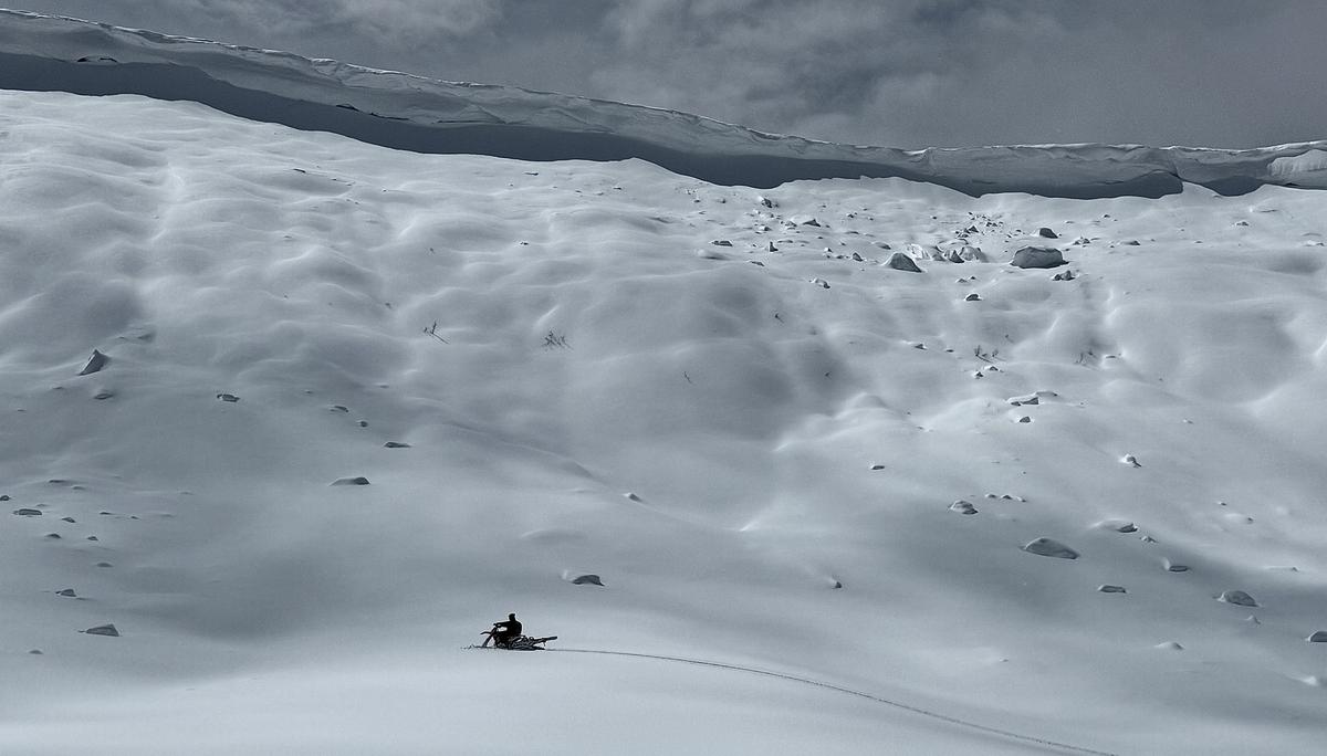
Avalanche Problem #1
Cornice
Type
Location

Likelihood
Size
Description
Continued warm weather is a big red flag for potential cornice falls. This remains the most likely type of avalanche we'll see today. The danger trend is increasing. This is a simple problem to manage though:
- Don't travel on top of cornices.
- Don't travel underneath cornices.
Photo below: example of a cornice that should be avoided during the heat of the day.
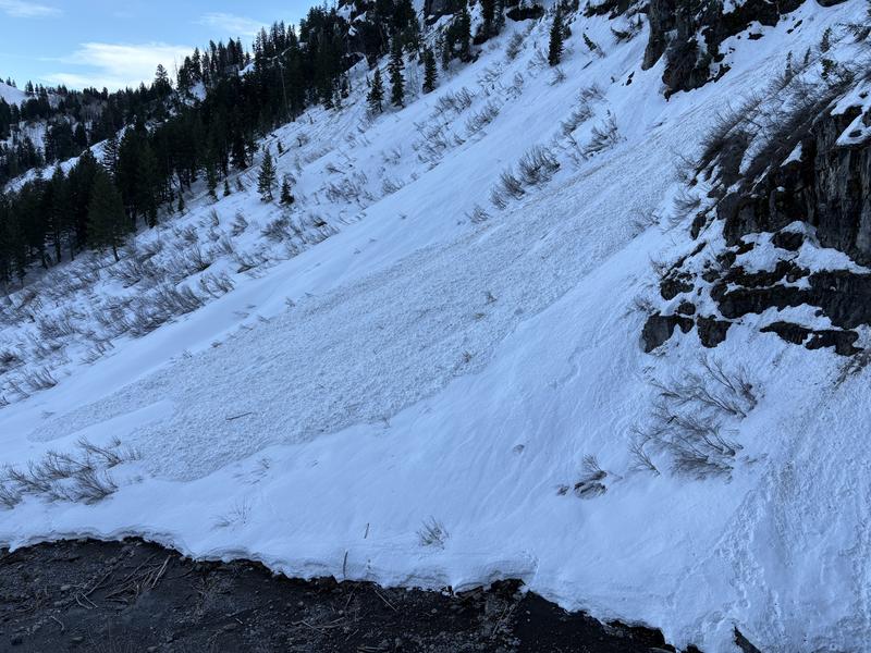
Avalanche Problem #2
Wet Snow
Type
Location

Likelihood
Size
Description
Continued warming is also increasing the danger of wet avalanches. Last night was the third night in a row with temperatures above freezing. This is a red flag. You will probably find that the snow is becoming unsupportable in the low and mid elevations to the point where you are punching through with your boots and perhaps even with your skis or machines. The wet snow avalanche problem is also simple to manage:
- Avoid being on or below very steep slopes when the snow becomes wet, saturated, sloppy and punchy.
Photo below: example of a pile of debris from a wet loose avalanche
One more thing to add about the warming. At some point we may see the older deeply buried weak layers come to life again as water percolates through the snowpack and lubricates those old layers. The mountains, in essence, will start to shed and we could see wet slab avalanches breaking deep into the snowpack. This is a pretty difficult thing to pin down on if or when it will happen but numerous nights with above freezing temperatures is an indicator. This issue is also easy to manage: Stay off of and out from below steep slopes during the heat of the day.
General Announcements
This forecast is from the U.S.D.A. Forest Service, which is solely responsible for its content. This forecast describes general avalanche conditions and local variations always occur.