To help you safely enjoy the backcountry, the UAC team is constantly evaluating and implementing new programs and technologies.
Donate to the Spring Campaign to help our team implement innovative tools and better provide you with the information you rely on.
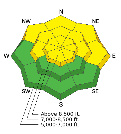
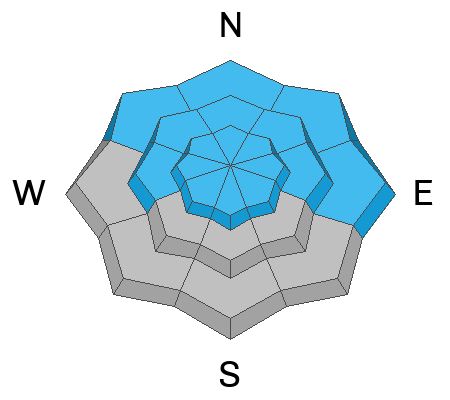
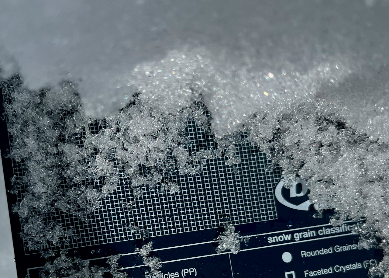
Last week people remotely triggered a few large avalanches on drifted slopes. Huge cornices formed with the recent storms, and heavy snow and drifting last weekend increased the load and thickened wind slabs overloading backcountry slopes, some with poor snow structure and buried persistent weak layers. Today, after a couple days with moderate winds and little snowfall, the snow is becoming more stable and the danger is diminishing. Even so, people could still trigger large cornice falls, or 1 to 3' thick slab avalanches failing on a buried persistent weak layer.
The cold temperatures are keeping the snow nice and soft, and we've been finding fantastic powder riding at all elevations on shady slopes facing the north side of the compass.
The 8400' Tony Grove Snotel reports 15° F this morning, and there is 129 inches of total snow. The wind is currently blowing from the east around 10 mph at the UDOT Logan Summit weather station.
Here is the NWS point forecast for high elevations in the Central Bear River Range:
Today: Snow, mainly after 11am. The snow could be heavy at times. High near 23. Wind chill values as low as -3. East southeast wind 14 to 16 mph becoming west southwest in the afternoon. Chance of precipitation is 90%. Total daytime snow accumulation of 4 to 8 inches possible.
Tonight: Snow likely, mainly before 5am. The snow could be heavy at times. Mostly cloudy, with a low around 9. Wind chill values as low as -7. West wind 13 to 21 mph. Chance of precipitation is 70%. New snow accumulation of 3 to 7 inches possible.
Thursday:A 20 percent chance of snow before 8am. Mostly sunny, with a high near 26. Wind chill values as low as -8. Southwest wind 10 to 16 mph.
Looks like the next storm will bring another foot or two for the weekend beginning Thursday night and continuing through Friday night.


