We're back in the office and are gearing up for another season. With an anticipated weather pattern change around Thanksgiving, look for regular forecasts to begin next weekend. Keep your fingers crossed!
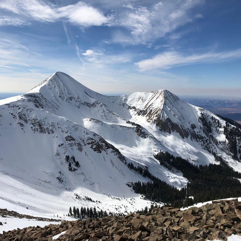
The October snowpack has dwindled under the ravages of wind and sun but there is still quite a bit of snow up there. 18-24" can be found on NW-N-NE aspects above about 10,000'. Due south facing slopes, and most terrain under about 9500' are melted out back to dry ground. The current snowpack is generally stable but isolated areas of unstable snow may exist on upper elevation, northerly aspects where wind drifted snow has accumulated over weak, sugary faceted snow near the ground. Suspect crossloaded gullies, and areas where the snow feels hollow underneath.
A change in the weather is on the horizon with possibly a few flakes coming on Thanksgiving. We'll hopefully have a better opportunity for snow by the weekend.


