Sign Up for the Utah Snow and Avalanche Workshop (USAW) on December 7th!

Forecast for the Moab Area Mountains

Eric Trenbeath
Issued by Eric Trenbeath on
Friday morning, November 23, 2018
The avalanche danger is generally LOW and the snowpack is mostly stable. Isolated areas of unstable snow may exist on upper elevation, northerly aspects where old, hard wind slabs may be found overlying layers of weak, sugary, faceted snow. Suspect crossloaded gullies, and areas where the snow feels hollow underneath. If new snow begins to accumulate, be on the lookout for shallow deposits of wind drifted snow along upper elevation ridge crests.
Low
Moderate
Considerable
High
Extreme
Learn how to read the forecast here
Special Announcements
We've redesigned our website! Check out the video below for highlights.
Weather and Snow
The first storm system in over a month moved across the Intermountain West yesterday but unfortunately, Southeastern Utah was left out of the fun. Just under 2" of snow has fallen in Gold Basin at 10'000' with only a trace at the Geyser Pass Trailhead. Winds this morning are light and westerly, and 10,000' temps are in the mid teens. Today look for increasing SW winds gusting to 30 mph along ridge tops, and partly cloudy skies as the next storm system moves into the area. High temps at 10,000' will be in the mid 20's. We may see a few flakes later in the day but our best chance for snow will come tonight into Saturday with 3-5" possible.
New snow totals in Gold Basin (10,000')
Snow totals at the Geyser Pass Trailhead (9600')
Wind, temperature, and humidity on Pre Laurel Peak (11,700')
National Weather Service point forecast.
Ad
Avalanche Problem #1
Normal Caution
Type
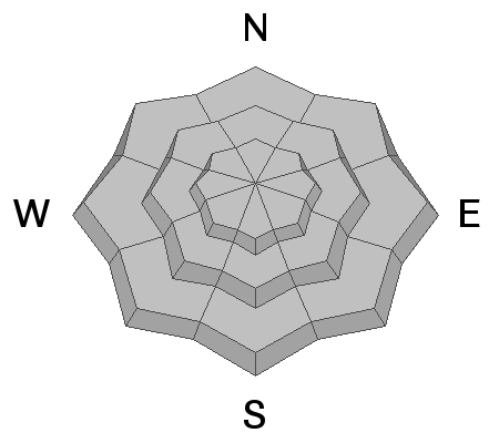
Location
Likelihood
Size
Description
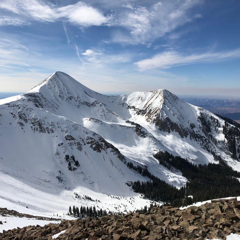
The October snowpack has dwindled under the ravages of wind and sun but there is still quite a bit of snow up there. The problem is getting to it! 18-24" can be found on NW-N-NE aspects above about 10,000'. Due south facing slopes, and most terrain under about 9500' are melted out back to dry ground. The current snowpack is generally stable but isolated areas of unstable snow may exist on upper elevation, northerly aspects where old, hard wind slabs exist over weak, sugary faceted snow near the ground. Suspect cross-loaded gullies, and areas where the snow feels hollow underneath. If new snow begins to accumulate, be on the lookout for shallow deposits of wind drifted snow along upper elevation ridge crests.