Forecast for the Uintas Area Mountains

Craig Gordon
Issued by Craig Gordon for
Thursday, April 7, 2022
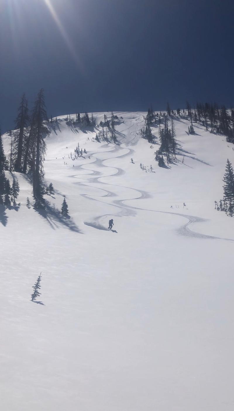
MODERATE avalanche danger is found on the leeward side of upper elevation ridges in the wind zone where a rogue wind drift or two may still react to our additional weight and human triggered avalanches are POSSIBLE. While not particularly widespread and trending on the pockety side, today's avalanches may still catch you off guard. So... if you're getting after it and onto sustained steep slopes or tagging big, committing, complex terrain, take a minute and think about the consequences of triggering even a small avalanche that can knock you off your feet, board, or sled and throw a curve ball at a stunning day. Wind sheltered slopes offer generally LOW avalanche danger and that means human triggered avalanches are UNLIKELY.
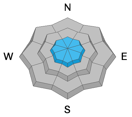
Low
Moderate
Considerable
High
Extreme
Learn how to read the forecast here
Weather and Snow
NOWCAST-
High pressure ushers in clear skies with temperatures registering in the mid teens and low 20's, which is about 10 degrees warmer than yesterday at this time. After a brief respite late last night, northwest winds clocked in for the graveyard shift and blow 20-30 mph near the high peaks. While access is getting a bit rugged, riding and turning conditions are quite good and you can find soft, settled snow on wind sheltered slopes.
FORECAST-
Look for mostly sunny skies with temperatures climbing into the low 40's. Northerly winds blowing in the 30's along the high ridges are gonna be a nuisance, but lose a little elevation and you lose the breeze. Under clear skies, overnight lows dip into the 20's.
FUTURECAST-
Clear skies with warming temperatures and light winds round out the work week. A dry cold front slides through the area Saturday with a stormy pattern expected to develop by Monday, persisting through much of the upcoming week. This looks like a solid shot of snow with much colder temperatures.
PC Cats guides let 'er rip with a post season run on a smooth, white canvas.
Trip reports and snowpack observations are found HERE.

Looking for real-time temps, snow, or wind? Click HERE and then on the "western Uinta" tab for western Uinta specific, weather station network.
Recent Avalanches
The image above is the only recent avalanche activity reported on a steep, wind drifted, north facing slope in upper Moffit Basin
No other significant avalanche activity to report.
An archive of recent slides is found HERE.

Your input is vital and we're interested in what you're seeing. Please contribute to this great community resource and go here to fill out an observation.
Ad
Avalanche Problem #1
Wind Drifted Snow
Type
Location
Likelihood
Size
Description
Winds have been all over the compass for the past 48 hours, they've got some snow to work with, and as such I bet you can find rogue wind drifts formed in some unusual places. While mostly found on the leeward side of upper elevation ridges, be on the lookout for fresh drifts that also formed around terrain features like chutes and gullies. Easy to detect by their fat, rounded appearance, they're easy to avoid by losing elevation and seeking out wind sheltered mid and low elevation terrain.
Additional Information
Your observations are important, so please let me know what you're seeing... click HERE and contribute to this amazing community based program
General Announcements
The information in this forecast expires 24 hours after the day and time posted, but will be updated by 07:00 Friday, April 8th.
Before it gets too crazy, now is the time to book an avalanche awareness presentation for your group, club, or posse. You can reach me directly at 801-231-2170 or [email protected]
This forecast is from the U.S.D.A. Forest Service, which is solely responsible for its content. This forecast describes general avalanche conditions and local variations always occur.