UDOT PLANNED AVALANCHE CLOSURES!!

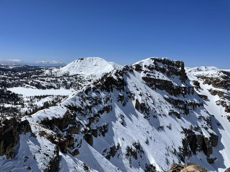
Forecast for the Uintas Area Mountains

Mark Staples
Issued by Mark Staples for
Friday, April 8, 2022
Today the avalanche danger is LOW meaning that human-triggered avalanches are unlikely, but watch for unstable snow on isolated terrain features. There could be a few, shallow, slabs of wind drifted snow that may cause a small slide.
Expect a noticeable change in the weather pattern starting this weekend with much colder temperatures by Sunday and a decent chance for snow next week.
Low
Moderate
Considerable
High
Extreme
Learn how to read the forecast here
Weather and Snow
NOWCAST-
This morning temperatures range from 28-30 degrees F with winds from the northwest averaging 15 mph at upper elevations. Clear skies and temperatures just below freezing allowed the snow to refreeze overnight.
FORECAST-
Today will be especially warm with high temperatures climbing into the mid 40s F, and winds will remain light.
FUTURECAST-
A few high clouds may arrive late today and winds should pick up a little from the southwest ahead of a cold front arriving Saturday. A few snowflakes may fall tomorrow with no accumulations. Overall temperatures begin dropping tomorrow and will be in the teens F by Sunday. Most of next week should be cold with a good chance for snow Tues/Wed (maybe 10-20 inches).
SNOW early this week (6-8 inches) gave a nice refresh to the snow surface as Ted found in Whitney Basin yesterday. On south-facing slopes, it has been through two melt/freeze cycles and should be "corn-ish" snow this morning as it warms and melts. The snow on north-facing slopes became damp yesterday and should have an ice crust on top this morning that will soften as it melts.
Trip reports and snowpack observations are found HERE.

Looking for real-time temps, snow, or wind? Click HERE and then on the "western Uinta" tab for western Uinta specific, weather station network.
Recent Avalanches
An archive of recent slides is found HERE.

Your input is vital and we're interested in what you're seeing. Please contribute to this great community resource and go here to fill out an observation.
Ad
Avalanche Problem #1
Wind Drifted Snow
Type
Location
Likelihood
Size
Description
A little bit of new snow and a little bit of wind in the middle of the week created a few slabs of wind drifted snow that could avalanche today. These wind slabs are isolated. On Notch Mountain yesterday, Nikki and I found very few of these, and most seemed glued in place from warm temperatures.
Still, I'd be looking for them and assessing their stability if going into terrain where a small slide could have big consequences by knocking me off my feet.
The photo below of Notch Mountain shows lots of wind scouring and little wind deposition.
Additional Information
Your observations are important, so please let me know what you're seeing... click HERE and contribute to this amazing community based program
General Announcements
The information in this forecast expires 24 hours after the day and time posted, but will be updated by 07:00 Saturday, April 9th.
Before it gets too crazy, now is the time to book an avalanche awareness presentation for your group, club, or posse. You can reach me directly at 801-231-2170 or [email protected]
This forecast is from the U.S.D.A. Forest Service, which is solely responsible for its content. This forecast describes general avalanche conditions and local variations always occur.