Forecast for the Uintas Area Mountains

Issued by Craig Gordon on
Thursday morning, April 11, 2019
Thursday morning, April 11, 2019
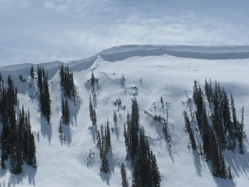
Dry snow avalanches-
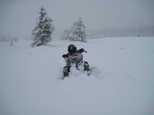
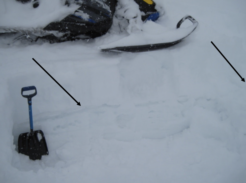
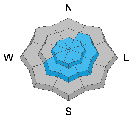
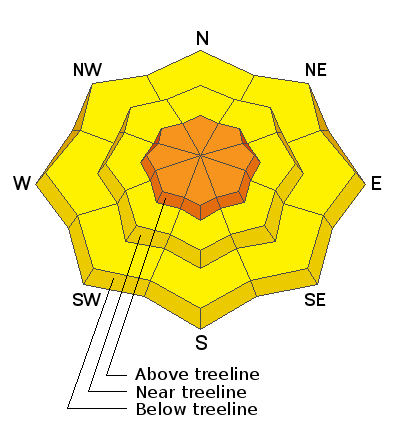
In upper elevation terrain, especially in the wind zone at and above treeline, you'll find CONSIDERABLE avalanche danger. Human triggered avalanches are LIKELY in steep, leeward terrain on all quadrants of the compass. While not as widespread, winds got into mid elevation terrain and you'll find MODERATE avalanche danger. Human triggered avalanches are POSSIBLE on steep, wind drifted slopes.
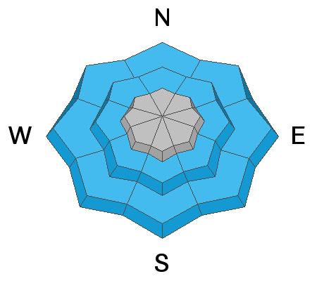
Wet snow avalanches-
If the sun comes out for any length of time, the danger of wet avalanches may quickly rise to MODERATE on steep, sun-exposed slopes.
Low
Moderate
Considerable
High
Extreme
Learn how to read the forecast here