Observation Date
4/10/2019
Observer Name
Ted Scroggin
Region
Uintas » Bear River Ranger District » Gold Hill
Location Name or Route
Mill City/Gold Hill
Weather
Sky
Obscured
Precipitation
Moderate Snowfall
Wind Direction
Northwest
Wind Speed
Moderate
Weather Comments
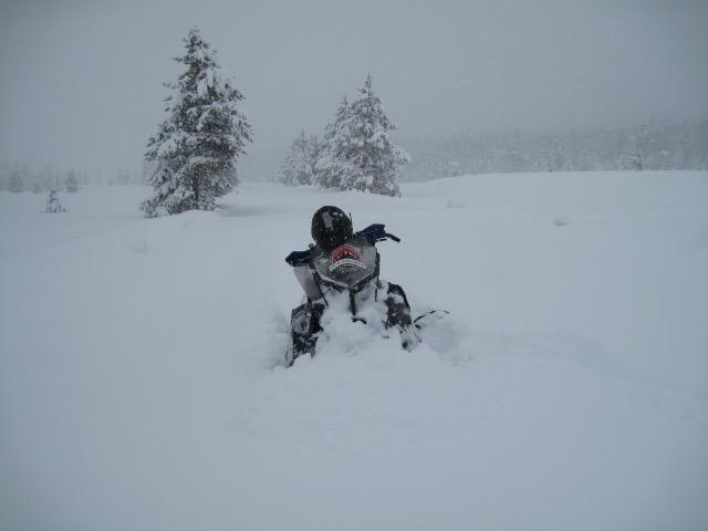
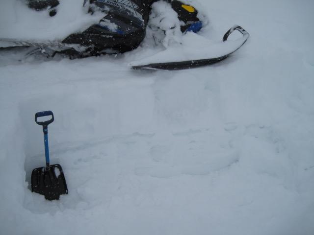
What a great spring storm with around 18" at the trail head and a nice two feet in the Mill City/Gold Hill area. Winds were from the northwest in the moderate category with stronger gusts at times. Not great visibility, but the storm was a nice re-set with good powder riding on a mostly supportable crust. Snow continued all day with a strong northwest flow favoring the north slope.
Snow Characteristics
New Snow Depth
2'
Snow Surface Conditions
Powder
Snow Characteristics Comments
New snow was generally low density, but still had some body to it making for nice riding and turning. The old surface was warm before the storm arrived and things seemed to bond quite well and only minor sluffing on steeper slopes.
Red Flags
Red Flags
Heavy Snowfall
Wind Loading
Red Flags Comments
Steady moderate snowfall and gusty northwest winds likely created sensitive wind drifts along the upper ridge lines and poor visibility prevented me from getting into higher terrain. Snow showers through the night should keep an elevated hazard.
Avalanche Problem #1
Problem
Wind Drifted Snow
Trend
Same
Problem #1 Comments
Generally, the new snow should bond well to the old warm snow surface, but gusty northwest winds have created some sensitive wind drifts on upper elevation ridge lines. These could easily break a few feet deep and entrain a lot of the new snow.
Comments
A good storm for the north slope and a re-set back to winter powder conditions. Don't put the sleds away yet.
The new snow should bond to the old warm snow surface which in many places is a supportable crust. There is damp snow under the crust, but I was not finding it to be overly saturated and the bottom is not falling out in the mid elevation areas.
Today's Observed Danger Rating
Considerable
Tomorrows Estimated Danger Rating
Moderate
Coordinates