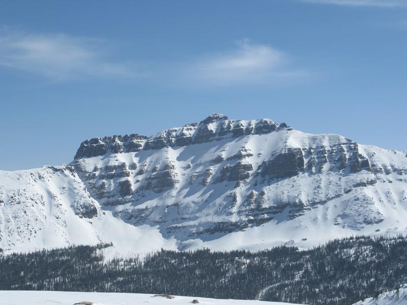
Forecast for the Uintas Area Mountains

Issued by Craig Gordon on
Friday morning, March 29, 2019
Friday morning, March 29, 2019
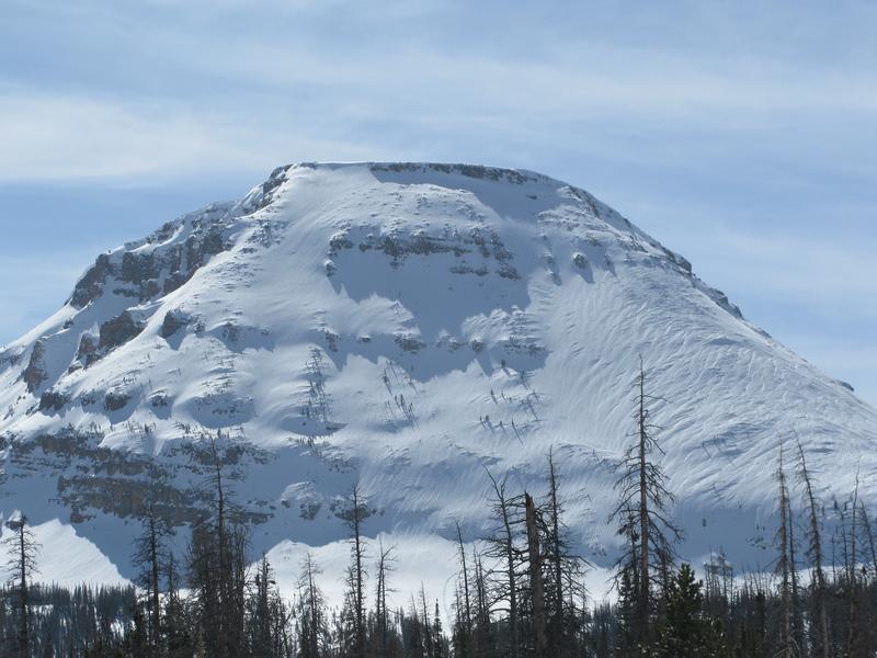
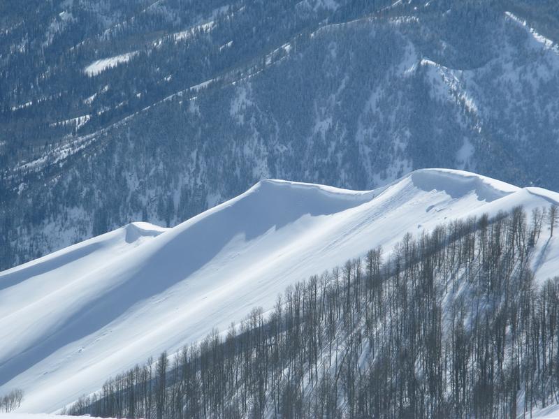
Limited to a small percentage of the terrain available to ride in today, at and above treeline you'll find MODERATE avalanche danger. Human triggered DRY SNOW avalanches are POSSIBLE, especially on steep leeward slopes facing the north half of the compass.
In addition, if the sun comes out for any length of time the danger of WET SNOW avalanches will rapidly rise to MODERATE and human triggered avalanches become POSSIBLE on all steep, snow covered slopes.

Low
Moderate
Considerable
High
Extreme
Learn how to read the forecast here