NOWCAST-
The last gasp of moisture slid through the region late last night delivering a trace of snow, bumping this weeks storm totals into the 6"-8" range. Early this morning under clearing skies very cold air filtered into the region allowing temperatures to crater into negative territory. Near the high peaks west and northwest winds blow in the teens and low 20's creating with chills to -25 degrees. Dribs and drabs of new snow trickling in all week has added up and it's starting to feel deep, especially on northerly facing, wind-sheltered slopes where the new snow rests on soft, faceted snow.
FORECAST-
Expect a stunning day in the mountains with clear skies and bright sunshine. Winds taper off as the day wares on and high temperatures climb into the mid and upper 20's. Overnight lows dip into the teens and single digits.
FUTURECAST-
High pressure builds in earnest Sunday, but temperatures don't go through the roof as a weak storm ushers in high clouds by days end. More sunshine is in tap for Monday through about midweek with some degree of storminess sliding through the region towards the end of the work week.
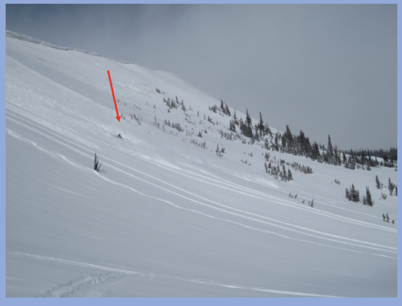
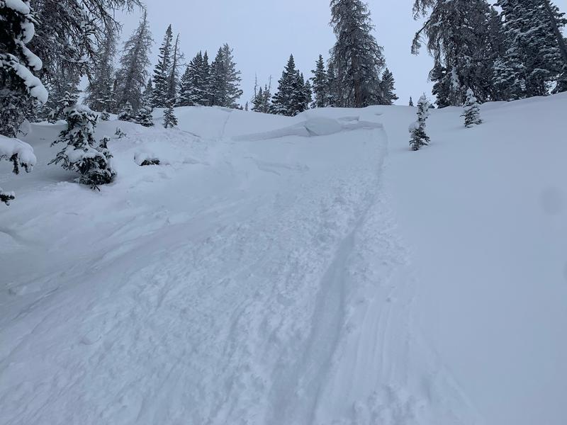
Trip reports and current state of the snowpack observations are found
HERE.
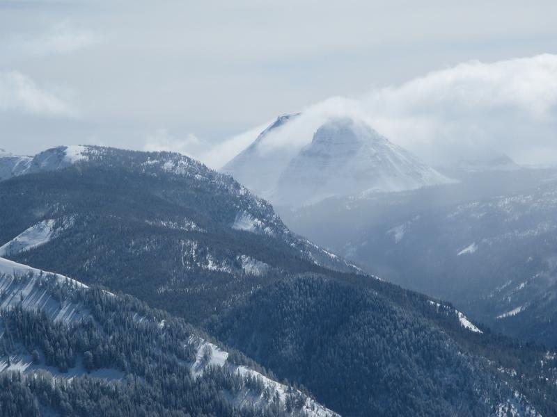
I captured this photo of Reids Peak on Wednesday when conditions felt quite wintry which was a big change from the extended warm, dry weather.
Looking for real-time temps, snow, or wind?
Click HERE and then on the "western Uinta" tab for western Uinta specific, weather station network.