Forecast for the Uintas Area Mountains

Craig Gordon
Issued by Craig Gordon for
Sunday, February 19, 2023
The avalanche danger is generally LOW and human triggered avalanches UNLIKELY. However, be on the lookout for and avoid shallow, fresh wind drifts above treeline which can catch you by surprise, especially if you're tagging big terrain with equally big consequences.

Low
Moderate
Considerable
High
Extreme
Learn how to read the forecast here
Weather and Snow
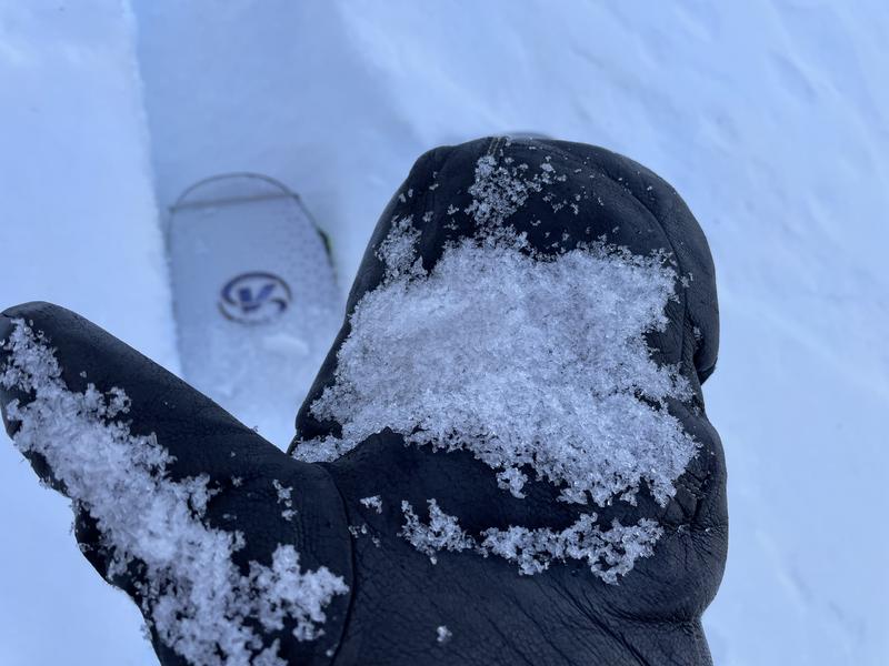
Nowcast- At o'dark thirty, cold air and moisture nudge into northern Utah, delivering temperatures in the teens and single digits and just about an inch of snow. Along the high ridges southwest winds have been busy at work all night and continue in that spirit, blowing 25-35 mph. In general our terrain is wind jacked from last weeks big wind event, but yesterday Joey Manship and I were pleasantly surprised to find swaths of shallow, creamy snow on very wind sheltered, mid elevation, shady slopes. Ted found similar conditions on the east side of the range near Bear River.
Forecast- Today's storm is a quick hitter and lays down another inch or two of snow before making it's way to Colorado. In its wake, we should see clearing skies with high temperatures climbing into the mid 20's. Southwest winds are gonna be a nuisance this morning, ramping into the 40's near the peaks, before switching to the west and eventually northwest and decreasing as the day wares on.
Futurecast- A break in the action later today and Monday morning is short-lived as a solid looking storm materializes early Tuesday. The storm gets its mojo going late Tuesday through Wednesday and I think a foot of snow with an inch of water is a good bet by midday Thursday.
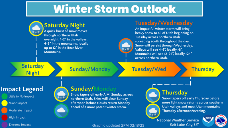
Constructed by our good friends and partners in crime (though not criminals :) the Salt Lake City National Weather Service, the graphic above depicts an active pattern developing for the upcoming week.
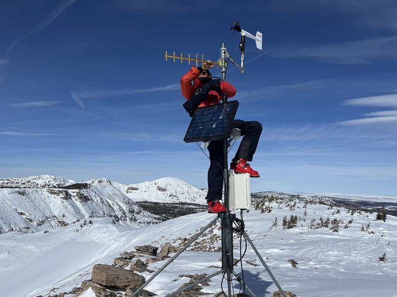
Huge thanks for all the great obs streaming in from the eastern front. Even more detailed trip reports and recent obs are found HERE.
Recent Avalanches
No significant avalanche activity to report, but if ya wanna geek out, click HERE to track this years slide activity throughout the range.
Ad
Avalanche Problem #1
Wind Drifted Snow
Type
Location
Likelihood
Size
Description
Friday, Ted and I rolled out to Lofty Lake Peak to work on comms and recalibrate the wind machine... hopefully the tweaks usher in more snow than wind with the next series of storms.
Prior to last nights storm, winds blew from every quadrant of the compass and the snow in most of our terrain is wind-pressed rather than wind loaded. However, an inch or two of fresh snow overnight coupled with strong winds, form a shallow wind drift or two, that can react to our additional weight. Not widespread and limited to the leeward side of ridges and around terrain features like chutes or gullies, remember to look for and avoid rounded pieces of snow, especially if they sound hollow like a drum.

Additional Information
Note to self... whilst not widespread, yesterday we found surprisingly weak, sugary Near Surface Facets forming on super sheltered, low and mid elevation polars. Could be a sleeper elevation band with the upcoming storms.
Weather stations-
And... rime events have severely crippled the Uinta weather station network. I'm working to get it back up and running, but a few stations are found HERE (click weather stations, and then on the Western Uinta tab)
Observations-
Your observations are important, so please let me know what you're seeing... click HERE and contribute to this amazing community-based program
General Announcements
Issued at 03:33 on Sunday February 19th, this forecast expires 24 hours after the date and time posted, but will be updated by 07:00 Monday February 20th 2023.
Before it gets too crazy, now is the time to book an avalanche awareness presentation for your group, club, or posse. You can reach Craig directly at 801-231-2170 or [email protected].

This forecast is from the U.S.D.A. Forest Service, which is solely responsible for its content. This forecast describes general avalanche conditions and local variations always occur.