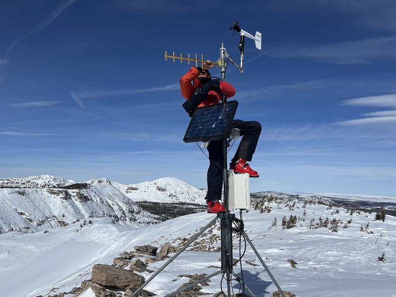
Nowcast- High clouds drift through the region early this morning and southerly winds blow in the 20's and 30's along the high peaks, ahead of a quick hitting storm on the doorstep slated to roll through the area tonight. The mercury kicks off the day inverted, in the teens at the trailheads and low 20's near the ridges... the same temperature as the City of Salt. Riding and turning conditions took a hard hit from the cow-tipping, midweek, wind event. But, I bet if you hunt around long enough, you'll find limited swaths of shallow, creamy snow on very wind sheltered, mid elevation slopes.
Forecast- Expect increasing clouds with temperatures climbing into the low 30's. Southwest winds ramp into the 30's and 40's as the day progresses with light snow developing before the turn of the new day.
Futurecast- Heavy, albeit short-lived, snow piles up fast and furious early Sunday morning with totals in the 3"-5" stacking up before suppertime. A short-lived break in the action for Monday with a better shot of snow, water, and wind slated for Tuesday through Thursday. I'm still sorting through the deets for timing and strength, but right now a couple feet of snow with an inch or two of H2O looks like a solid bet.
In the wind zone, terrain like Bald Mountain got absolutely ravaged by Wednesday's hurricane force winds.
Huge thanks for all the great obs streaming in from the eastern front. Even more detailed trip reports and recent obs are found
HERE.
No significant avalanche activity to report, but if ya wanna geek out, click
HERE to track this years slide activity throughout the range.


