Avalanche Watch
What:
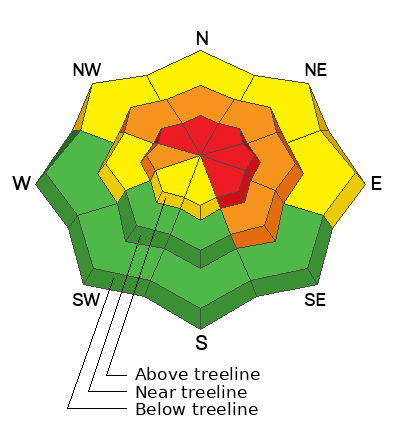
This Avalanche Watch is for rising avalanche danger, with very dangerous conditions continuing through the weekend and into next week.
Heavy snowfall and drifting by strong winds will elevate backcountry avalanche danger over the next several days. Very dangerous conditions and HIGH avalanche danger are expected to develop in many areas.
Where:
The Avalanche Watch continues for the western Uinta Mountains.
Impacts:
Very dangerous avalanche conditions are expected to develop on many slopes.
Avalanches can be triggered on slopes steeper than 30 degrees. They may also be triggered remotely (from a distance) or from below.
What to do:
Avoid traveling on or underneath steep terrain at mid and upper elevations in the backcountry.
Carry and know how to use avalanche rescue equipment.
Find safer riding conditions on slopes less than 30 degrees with no overhead hazard.
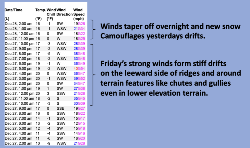
Nowcast- Skies clear briefly as the last flakes of snow get squeezed out of Friday's storm, leaving an evenly distributed 7" of snow with .65" H20 across the range. West and southwest winds partied through most of Friday, blowing 30-50 mph near the high peaks, but the ridgelines got complaints from neighboring peaks, put a lid on the festivities, called it a night around 11:00, and backed off into the mid 20's where they sit early this morning. Temperatures start their day in the mid teens.
Forecast- A decaying piece of Atmospheric River slides through the region today and that'll be good news for the Uinta's. Yeah, AR's tend to light up the eastern front, especially the Trial Lake area. Look for a good shot of snow to develop as the day progresses with a foot of snow a good bet by days end. West winds blowing 40-60 mph are gonna make for rugged travel, especially near the ridges. Temperatures warm into the low 30's and dip into the mid 20's overnight.
Futurecast- Look for a break in the action overnight into Sunday. One last gasp of storminess is left in the queue and should slide in late Sunday into Monday morning. Colder air helps deliver just a couple inches of low density snow.
Our good friends and longtime partners at Salt Lake's National Weather Service issued a
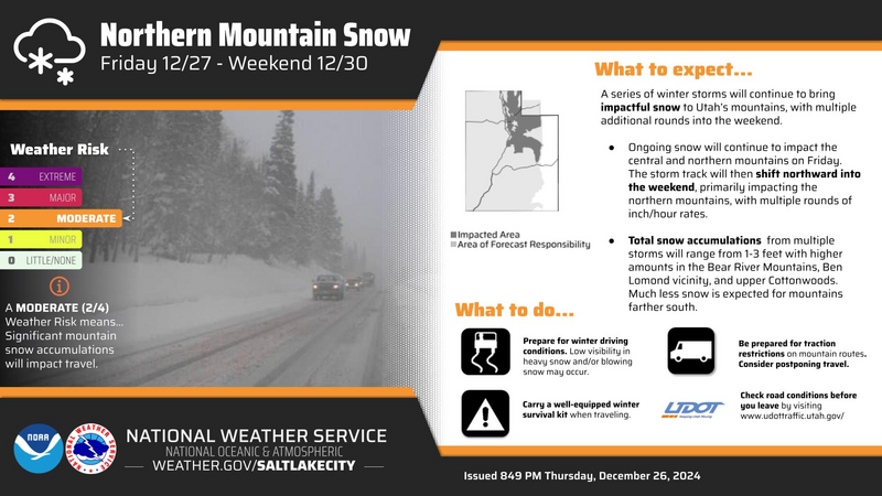
Winter Storm Warning for a good portion of Northern Utah which of course, includes the western Uinta's.
Travel & Riding Conditions-
A little snow goes a long way and riding is just starting to come on. But remember... it's still lean and there's plenty of gear wrecking obstacles buried just below the snow surface. So tread lightly, or as local snow-pro and rider extraordinaire Andy Nassetta says... "keep 'er on all fours."
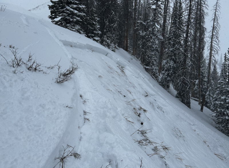
Not a particularly large piece of snow triggered yesterday on a steep, wind drifted slope, but the writing is on the wall. I'm focusing on the characteristics of where the avalanche failed... on weak snow near the ground. With more snow and wind overnight, I think today's avalanches are gonna break deeper and wider and can easily roll us.
Local snow-pros and all around rock stars, Bo Torrey and Adam Davis, took some time off the concert scene to visit Wolf Creek Pass Thursday and have some great insight found
here. In addition, a
close call occurred on Christmas Eve in the Logan area mountains, resulting in a complete burial. But fortunately, a quick thinking companion used his avalanche transceiver for the rescue, resulting in only minor injuries to the buried rider. The avalanche was 2 feet deep and 500 feet wide.
If you're looking for info, travel obs, and avalanche obs from the western Uinta range and from around the state, well then, you came to the right place... simply click
here!


