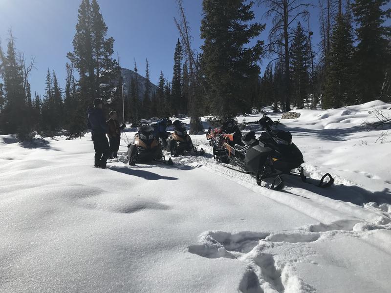
Just 'cause you can see it from the car doesn't mean it's safe or you're good to go. With all that's going on overburdening our health care workers, let's collectively think about our decisions and the consequences that may have on others.
If you missed the 13th Annual Utah Snow and Avalanche Workshop, the recordings are available for purchase from the UAC Store.
Click
here for more details.
Looking for ways to navigate through an unusual winter ?
Nowcast-
A big, bright beautiful moon, takes center stage and it's a stunning morning! High pressure builds and skies are clear, temperatures in the low to mid 20's, and northwesterly winds blow 10-20 mph along the high ridges. Our Thanksgiving storm helped change the landscape slightly, delivering close to 6" of very light density snow, but with overall snow depths just below two feet, it's still pretty thin out there.
Forecast-
Look for mostly sunny skies with temperatures climbing into the mid 30's. Northerly winds remain calm even along the high peaks. Overnight lows dip into the 20's.
Futurecast-
High pressure continues building through the weekend into the first half of Monday. A quick moving trough slides across the area late Monday into Tuesday, bringing cooler temperatures and the potential for light snow showers. Minimal accumulations are expected at this time. No big storms in sight.
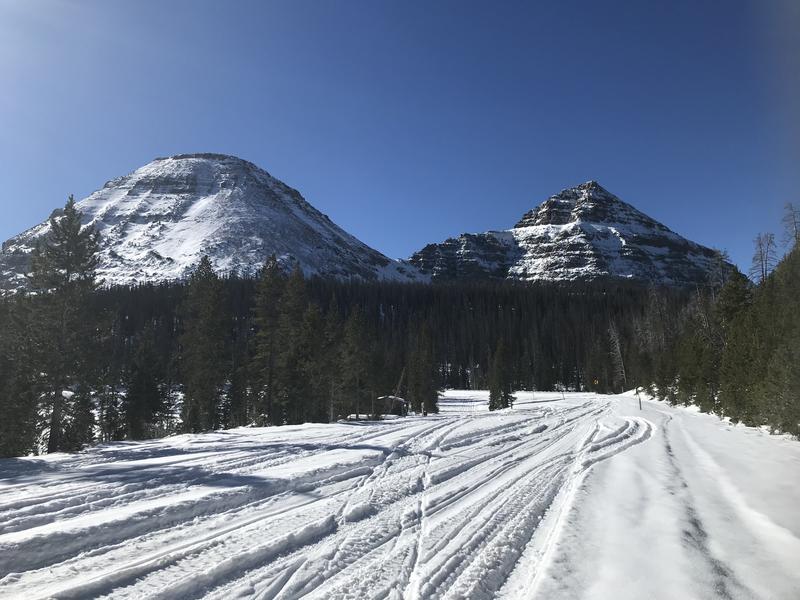
Bald Mountain and Reids Peak looking regal, yet still super boney. With only two feet of snow on the ground and four feet of rock poking through, the snowpack is thin and travel limited to grassy slopes and road rides.
Looking for real-time temps, snow, or wind?
Click
here and then on the "western Uinta" tab for western Uinta specific, weather station network.
No new avalanche activity to report.
To view trip reports and recent avalanche activity, simply click
here.