Check out our Holiday Auction - Sign Up for the Utah Snow and Avalanche Workshop (USAW)

Forecast for the Uintas Area Mountains

Trent Meisenheimer
Issued by Trent Meisenheimer on
Friday morning, November 24, 2023
Update for Friday, November 24 at 7:45 AM
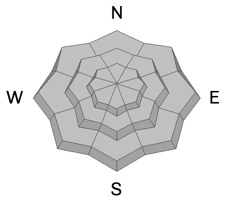
Normal Caution: This is not a specific avalanche problem. It is used by UAC forecasters most often when avalanche conditions are generally safe and there is no predominant avalanche problem. Any avalanche type is possible, but the most common would be wind slab, loose wet, and loose dry avalanches, which would be expected to be small.
Do not approach a Normal Caution avalanche problem as an “anything goes” situation. Keep your guard up and look for any signs of snow instability. Evaluate snow and weather conditions as you travel.
Low
Moderate
Considerable
High
Extreme
Learn how to read the forecast here
Weather and Snow
It’s snowing, and mountain temperatures resemble what winter should feel like. This morning and overnight, the winds have been blowing from the east-south-east at speeds of 10-15 mph, gusting into the 20s. Current mountain temperatures range from 15-21 °F. Overnight, the Uintas only picked up a trace to a couple of inches of snow.
Our current storm is a closed low-pressure system spinning counterclockwise around the City of Salt with the eye of the storm in Wendover. This means we should see light winds from the southerly direction for most of the day, with periodic snowfall that could be heavy at times (bands of snow) that could add another few inches to the storm totals. Mountain temperature will climb into the mid to low 20s °F before dropping into the teens °F overnight.
Unsettled weather should last into Saturday before the storm moves to the east and high pressure sets in.
Recent Avalanches
No recent avalanche activity was reported.
Ad
Avalanche Problem #1
Normal Caution
Type
Location
Likelihood
Size
Description
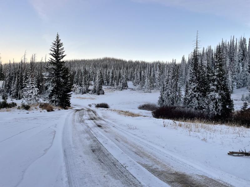
Mark Staples was traveling in the Wolf Creek Pass area on Tuesday and found less than a foot of snow in the upper elevations.
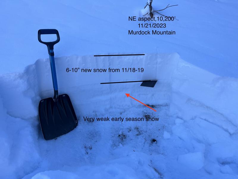
Ted Scroggin was traveling around Murdock Bowl on Tuesday and also found a thin and weak snowpack.
Travel is challenging with such thin conditions, but the thin and weak snow that currently exists may become an issue with future snowfall or any wind-loading.
Additional Information
It’s never too early to start thinking about avalanches. Here are a few things to consider doing:
  • Learn online. We have over 5 hours of free online learning at the Know Before You Go Website
  • Check out the upcoming in-person Know Before You Go events HERE
  • Sign up for an on-snow class
  • Check out the UAC's education progression HERE
  • Get your avalanche rescue gear ready for winter. Put fresh batteries in your transceiver and update the firmware. Inspect your shovel and probe. Get your airbag backpack ready by possibly doing a test deployment and updating the firmware if it is an electric version or getting your canister refilled if it's not electronic.