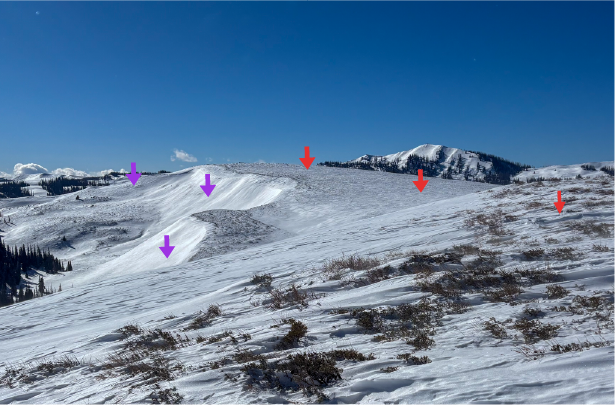
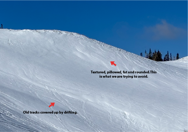
Nowcast - Since Friday, we have received 3-7" of light density snow snow favoring the North Slope and Central Wilderness. Temperatures have been frigid, but under clear skies we are slightly warmer this morning with temperatures in the single digits from trailheads all the way up to the high peaks. Unfortunately, winds blowing from the west in the 20's gusting into the 30's drop the windchill to nearly -15°F, keeps it crispy out there through the morning.
Forecast - Clear skies are on tap for today and it should be a gorgeous winter day. Expect temperatures to warm slightly, with a high of 20°F, but you may not feel it as the westerly winds continue to blow in the 20 to 30MPH range keeping things feeling chilly.
Futurecast - A quick break in things early this week is followed by a mid-week pulse that could potentially deliver additional snowfall to the range.
Travel Conditions -Since Friday we received 3-7" of snow across the range favoring the North Slope. Settled snow depths are 1-4' across the range, and very elevation dependent. On the north half of the compass, fresh snow on top of old, faceted, recycled powder has proven to be some of the best riding of the season! On the solars, a few inches has helped to cover up any variable old crusts creating fantastic travel conditions. 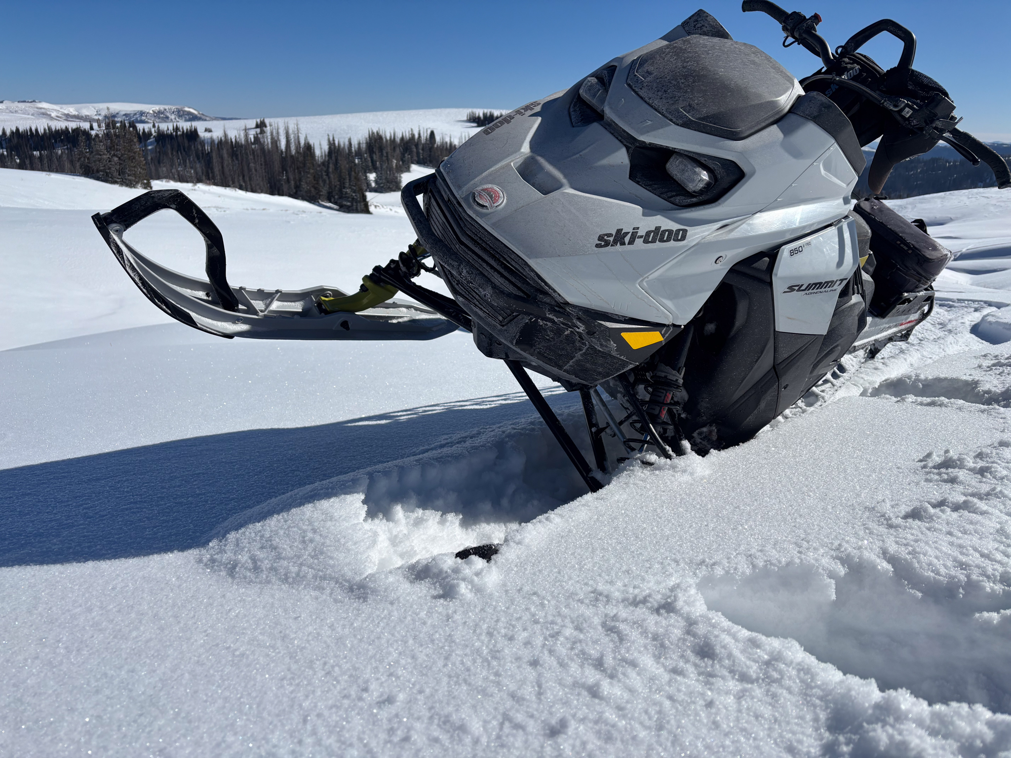
It sure is amazing what a few inches can do for moral. Conditions on the South Slope near the West Fork significantly improved over the past few days, and even the riding on solar aspects was manageable and pleasant.
Yesterday, no major activity was reported from across the range, but Andy P and Sean C noted small loose snow avalanches in steep and technical terrain. You can learn more about their take on the snowpack and their travels, here.

It's not always the size of the avalanche that matters, even a small sluff can be hazardous if triggered in consequential terrain, like in the photo above.