Forecast for the Uintas Area Mountains

Andrew Nassetta
Issued by Andrew Nassetta on
Sunday morning, January 25, 2026

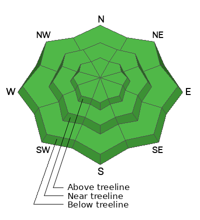
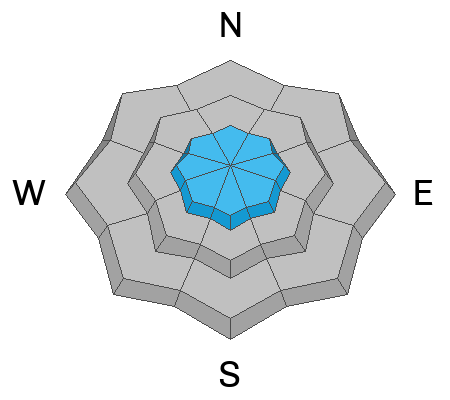
Today, LOW avalanche danger exists across the range at all aspects and elevations and human triggered avalanches are UNLIKELY. Keep an eye out for small pockets of wind-drifted snow in upper elevation terrain on the leeward sides of ridges that could be reactive to our additional weight.

As a rider, low danger does not mean avalanches are impossible to trigger. Don't turn your brain off today, be prepared, and exercise good travel protocol when traveling in avalanche terrain.

Low
Moderate
Considerable
High
Extreme
Learn how to read the forecast here
Weather and Snow

Nowcast - Over the past 48 hours light snow showers stacked up a surprising 2-5" of snow favoring the North Slope and Central Wilderness. The price we pay for a few inches of low-density fluff? Bone-chilling, single digit temperatures around 1°F at 8,000' trailheads, trending colder as you climb in elevation. The high peaks and ridges are well into the negatives, with windchill around -25°F, courtesy of the northwest winds averaging 15 MPH, gusting into the 20's and 30's.

Forecast - Expect a few lingering flurries and snow showers through the late morning, but additional accumulations will be next to nil. Skies part by late afternoon and the cold persists with a high near 10°F. Winds blowing from the northwest will average 15 MPH while gusting into the 20's at upper elevations keeping it fridgid.

Futurecast - Things clear out later today and we are staying hopeful for another pinch of snow later this week. We will keep you updated and in the loop!

Travel Conditions -A few inches helped us out up hight, but at first glance from the trailheads riding conditions look downright industrial. But with elevation gain our snowpack returns to near-normal, and above 9,000', we have 1-4' of settled snow. With that in mind, many solar aspects are melted out or wind-scoured, the pack is thin or even non-existent here. The best riding is on the north half of the compass in protected terrain, away from the wind and elements. Here the snow surface is less variable and a mix of recycled powder capped by our recent storm snow, providing quality riding with chin-tickling topper.
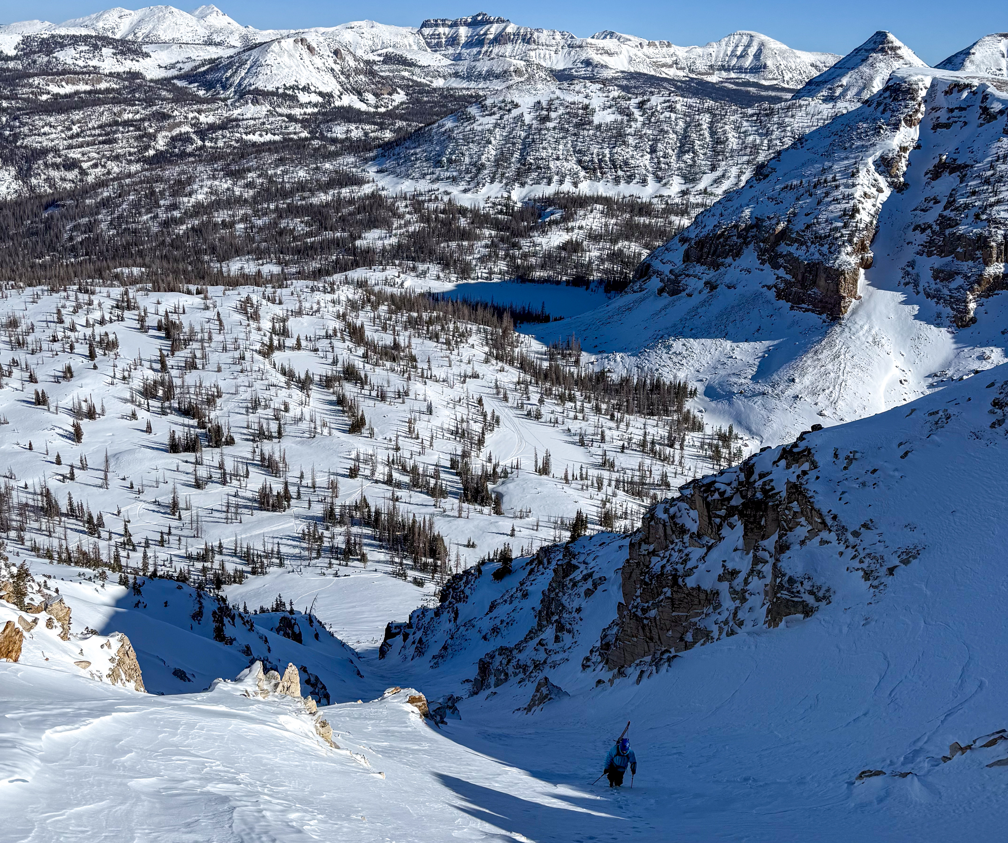
Jon C and Toby were out in the Mirror Lake Corridor yesterday, chuting around Notch Peak and reported chalky, yet soft turns with no signs of instability noted throughout their travels.
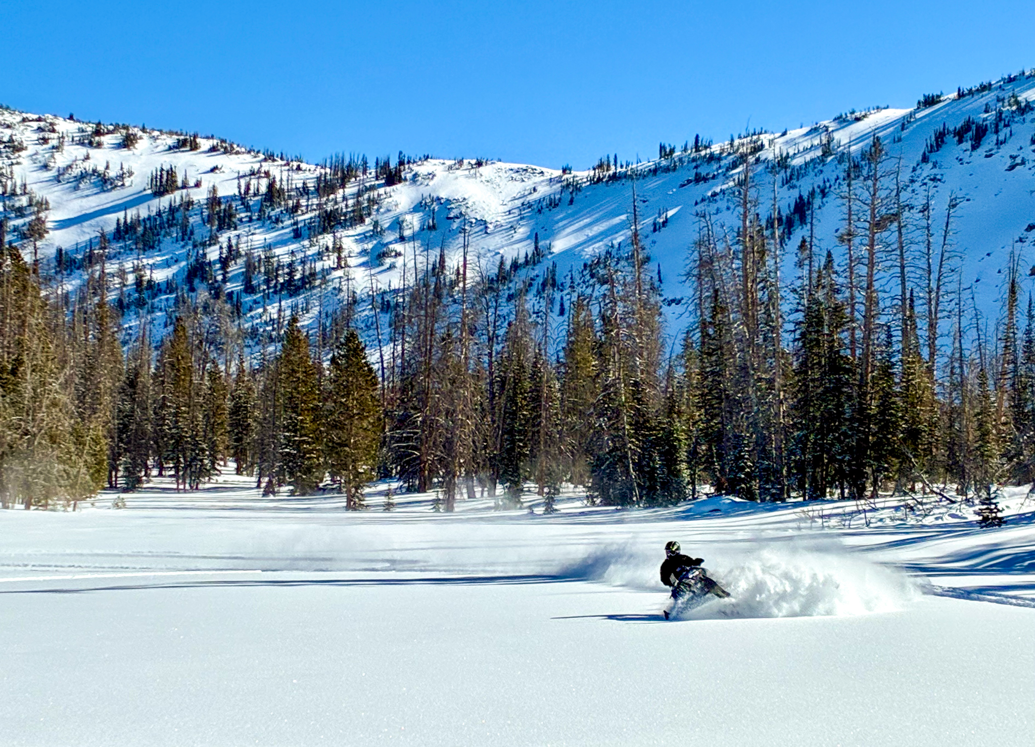
Meanwhile, Dan G and his crew were out in the meadows tracking-up any un-turned snow in sight while taking advantage of the cold, clear day.

Recent Avalanches

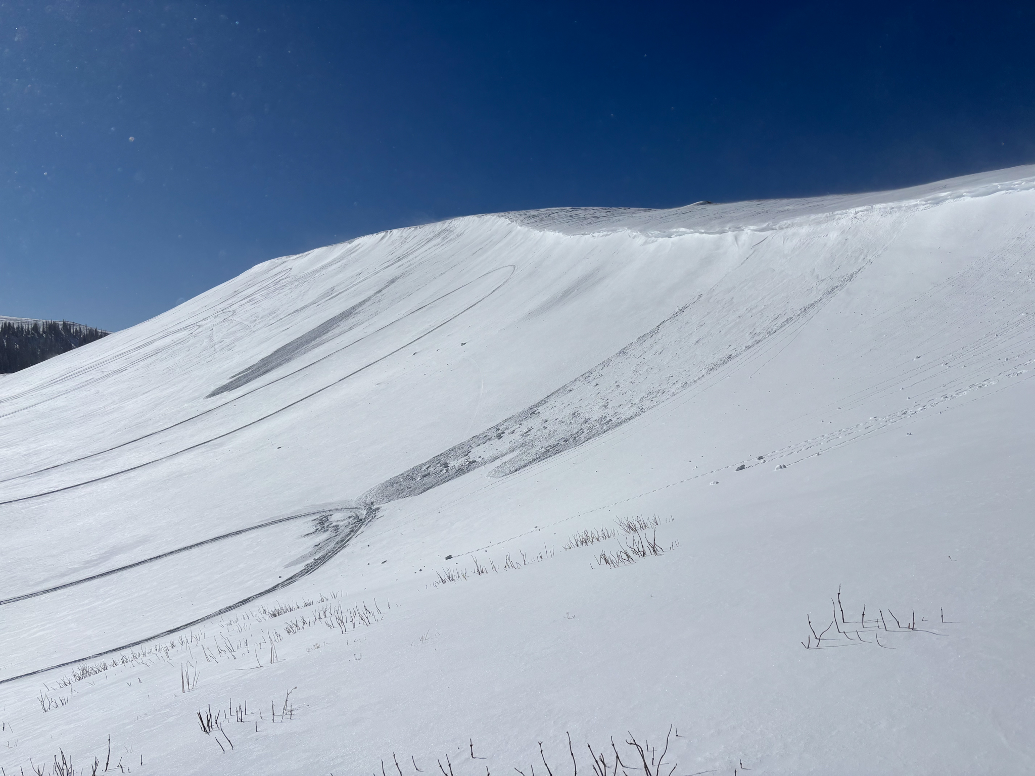
Yesterday, small wind-drifted avalanches were observed and reported across the range. Noted on upper elevation slopes with an easterly component, these drifts were 2-6" deep running up to a hundred feet vertically and occurred naturally during spikes in the wind throughout the day.
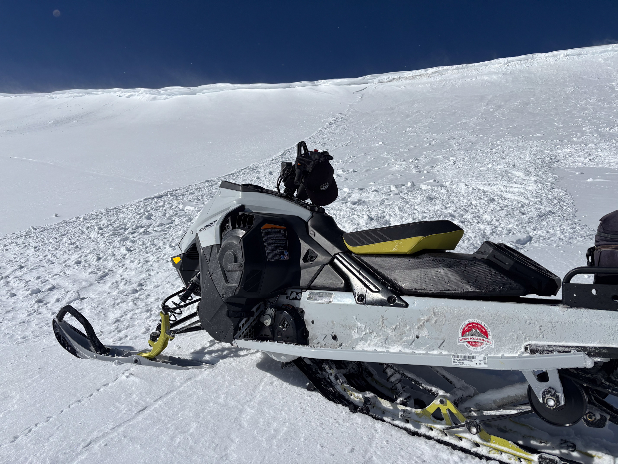
Tower Mountain, a southeast slope at 10,500' where strong winds from the northwest created soft, small drifts that were reactive, but relatively harmless to a rider in non-consequential terrain. See more, here.


Avalanche Problem #1
Wind Drifted Snow
Type
Location
Likelihood
Size
Description

On Tower Mountain, small wind-slabs occurred naturally throughout the day during spikes in the wind. These soft slabs were sensitive, and reactive to the touch.

Formed on a variety of snow surfaces, including faceted snow, today's small wind drifts will be reactive to the additional weight of a rider and found on upper elevations slopes in the windzone. Since Friday afternoon, we have received a few inches of light-density snow that fell across the range accompanied by light to moderate winds blowing 10-20 MPH from the northwest. Although these drifts may not be big enough to bury or kill us by themselves, remember even a small slide in consequential terrain that knocks us off our rig or drags us through rocks, cliffs or trees could seriously mess us up.

Fortunately, we can steer clear of this problem and that is my intention today. Look for and avoid fat, rounded pillows of snow on the leeward sides of ridges, gully's, and cut banks that look textured or different than the surrounding snow. Throughout your travels, stomp around on test slopes and get a feel for how things are bonding to the old snow surface before getting into committed, exposed terrain and finding out the hard way.

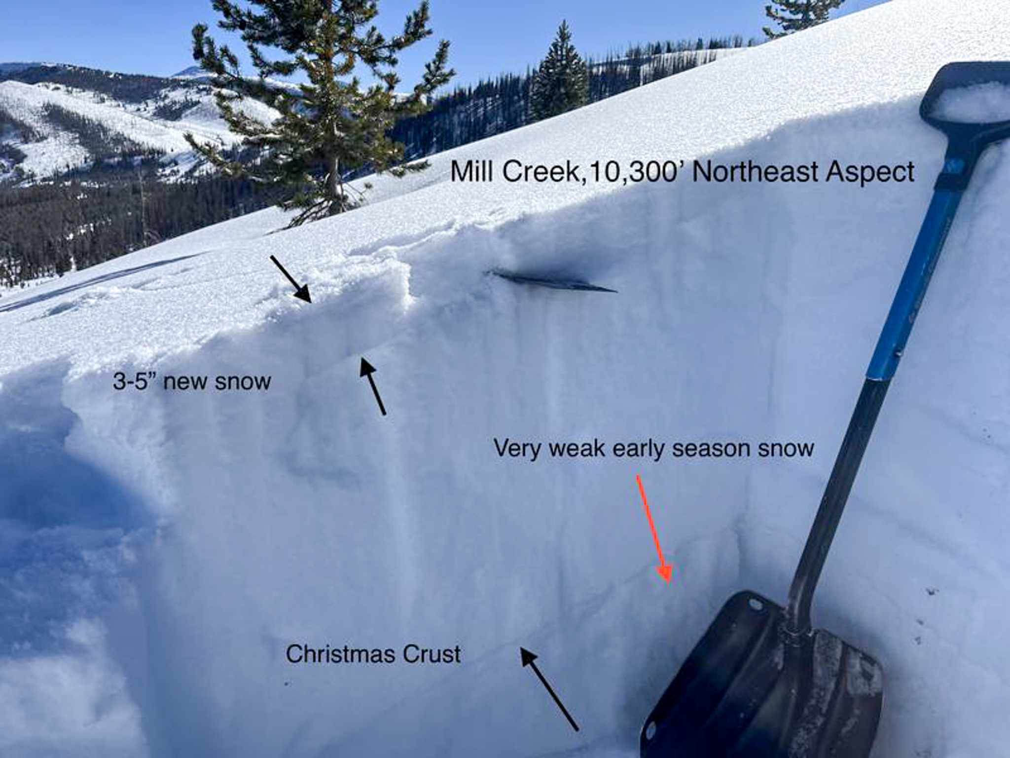
Ted was over closer to the Central Uinta's near Mill Creek and has a great write-up of the current snowpack conditions and his travels, here. The light density snow siting on the surface is what has and will continue to form pockets of wind-drifted snow throughout the day.

General Announcements

We have some upcoming classes and events that we'd be stoked to see you at -- Please reach out with any questions and check out below for more details!

We are always looking for snow and avalanche observations or just general riding conditions. Reach out to us with questions, concerns, or if you see anything in your travels! Contact us directly through the info below:

This forecast is from the U.S.D.A. Forest Service, which is solely responsible for its content. This forecast describes general avalanche conditions, and local variations always occur. This forecast was issued on Sunday, January 25th at 0500 AM and expires 24 hours after it was issued. We'll update this information by 07:00 AM tomorrow