Forecast for the Skyline Area Mountains

Brett Kobernik
Issued by Brett Kobernik for
Friday, March 8, 2019
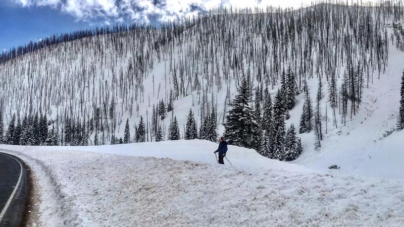
The avalanche danger remains CONSIDERABLE on the more northeast facing slopes. Continue to avoid these steep slopes until the storm passes and the new snow settles and stabilizes.
Low
Moderate
Considerable
High
Extreme
Learn how to read the forecast here
Weather and Snow
The Skyline received another 3 to 6 inches of snow on Thursday bringing totals up to almost a foot since Tuesday night. The wind was not as strong as it was late Wednesday.
Today we should see periods of snow and then a cold front will move through tonight bringing another decent shot of snow. I'm anticipating another 5 to 8 inches of snow.
Recent Avalanches
There was at least one significant avalanche that released late Wednesday during the period of very strong wind. It was in the Camp Chutes in Huntington Canyon. It crossed the creek with the debris stopping just short of the highway. DETAILS HERE
Ad
Additional Information
This forecast is from the U.S. Forest Service, which is solely responsible for its content. This forecast describes general avalanche conditions and local variations always occur.