UDOT PLANNED AVALANCHE CLOSURES!!

Forecast for the Skyline Area Mountains

Brett Kobernik
Issued by Brett Kobernik for
Tuesday, March 7, 2023
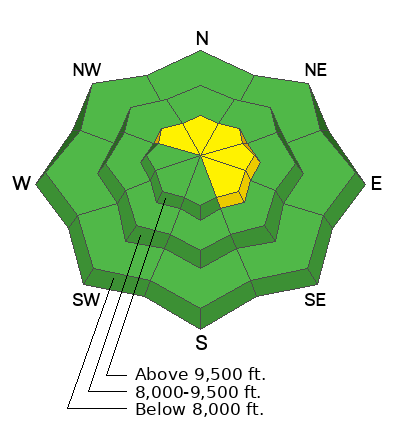
Overall, the avalanche danger rating is generally LOW on the Manti Skyline.
A "pockety" MODERATE danger rating exists in the upper elevation northwest through east facing terrain.
Small avalanches are possible on very steep wind loaded slopes especially just below the ridgelines.
Low
Moderate
Considerable
High
Extreme
Learn how to read the forecast here
Special Announcements
To help you safely enjoy the backcountry, the UAC team is constantly evaluating and implementing new programs and technologies. Donate to the Spring Campaign to help our team implement innovative tools and better provide you with the information you rely on.
Weather and Snow
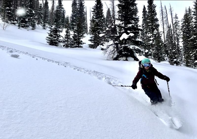
Current Conditions: A few more inches of snow trickled in during the day on Monday keeping the riding conditions quite nice. For some finer details about yesterday's snow, check out THIS BACKCOUNTRY OBSERVATION from Chris Magerl (Photo credit also).
Temperatures got into the low to mid 20s on Monday and dropped into the teens overnight. Overall, the wind has been light from the southwest with some moderate speeds along the higher peaks and ridges. We have light snow falling this morning as of 7am.

Mountain Weather: This morning we'll have clouds and the chance for light snow. If we're lucky we might see a little clearing later today but I'm not hanging my hat on it. Temperatures should get into the mid to upper 20s. Wind will be from the southwest with light to moderate speeds. Wednesday starts out partly cloudy then a windy storm moves through Wednesday night which might bring a few inches of snow. A storm starting Friday is looking more impressive now and will last through the weekend possibly bringing a foot or so of snow, maybe more. Temperatures look pretty warm with this storm so anticipate changing conditions.
Ad
Avalanche Problem #1
Wind Drifted Snow
Type
Location
Likelihood
Size
Description
Here's the pattern we are in. We've been getting small storms moving through with some wind. This creates a varying degree of unstable snow which quickly stabilizes within a day or two after the storm. Things remain stable until the next storm cycle does the same thing. I'm anticipating this pattern to continue over the next few storms.
For today, we're in a stabilizing period and triggering an avalanche is becoming less likely. Watch the drifts along the higher ridges and you'll be just fine.
General Announcements
This forecast is from the U.S.D.A. Forest Service, which is solely responsible for its content. This forecast describes general avalanche conditions and local variations always occur.